 Catàleg local de Mallorca
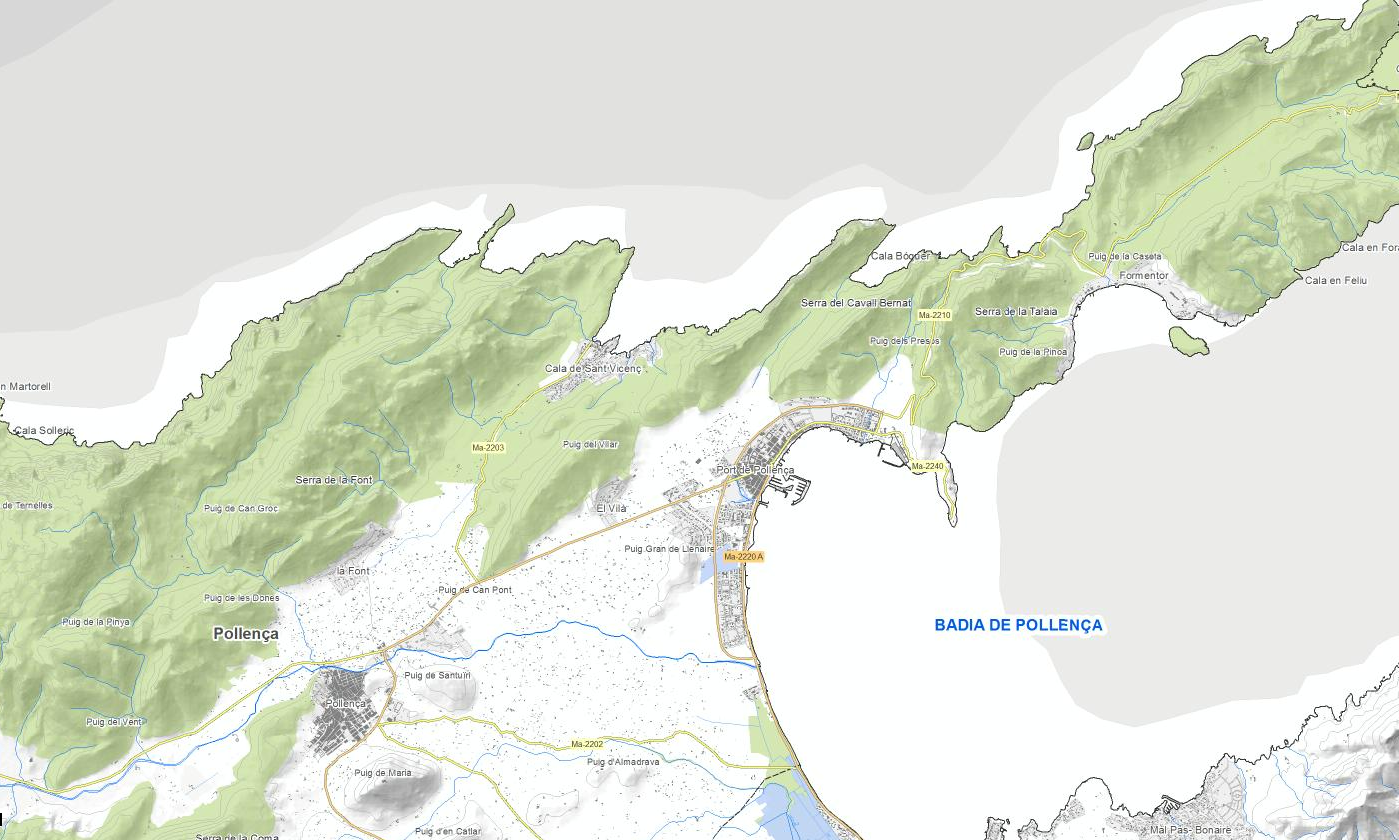
pollença
Type of resources
Available actions
Municipios
INSPIRE themes
Keywords
Contact for the resource
Provided by
Years
Formats
Representation types
Scale
-
Environmental data set of the town of Pollença. Collection of various layers of information generated by the Department of the Environment of the City Council of Pollença: - Distribution of public employment spaces - Stands and measurements of public employment spaces - Areas where exhibitors are placed on market days - Road Trees - Green areas of municipal ownership - Recharging points for electric vehicles - Urban waste containers - Door-to-door collection zones - The areas of public employment and the quotas and measurements of the spaces of employment of public roads authorized for the 2018 season, based on the current Municipal Ordinance of Pollença Town Council Regulating the use of the Via Public BOIB Nr. 53, 02-05-2002. - Feline colonies Scale of the map 1: 1,000. Original format: SHP. Original reference system: ETRS89, axle 31.
-
Data set containing the addresses of the urban center of Pollença and a few kilometers from the rustic area of the municipality. Cartography was extracted from the Cartociudad project of 2012, a state project that collects all spatial information related to directions and roads. The AD.Addresses layer is a layer of points and contains the addresses or portal numbers and various attributes that follow the Cartociudad data model and INSPIRE. Scale 1: 2,000. The reference system: ETRS89. Projection system: UTM fus 31. Storage format: PostgreSQL.
-
Cartography of the network of roads, roads and streets of the town of Pollença. It refers to the topic Transportation Networks in Annex I of the INSPIRE Directive. Mapping generated in 2014. The sources are the streets of the Cartociudad's project, wich are update with the staff's knowlege of the council, and the paths with the Catalog of roads of 2001. Scale 1: 2,000 the streets and scale 1: 5,000 the roads and roads. Reference system: ETRS89. Projection system: UTM fus 31. Storage format: PostgreSQL.
-
Data set of the municipality of Pollença. Collection of various layers of information generated by the Local Police of the Pollença Town Council: - Defibrillators - Vertical and horizontal traffic signals Scale of the map 1: 1,000. Original format: SHP. Original reference system: ETRS89, axle 31.
-
Cartography of the toponymy of the municipality of Pollença. The names refer to the topics of the INSPIRE Directive Utility services and Transport networks of Annex I of the INSPIRE Directive. Cartography generated in 2019 for TIC Mallorca. The sources are the Pollença Path catalog of 1997, for the names of Transports, and the name's objects of the layer Utility ang governmental service of Pollença, for the names of Utility services. The names of the urban elements are on a scale of 1: 2,000 and the names of the elements of rustic, on a scale of 1: 5,000. Reference system: ETRS89. Projection system: UTM fus 31. Storage format: PostgreSQL.
-
Data set of the municipality of Pollença. Collection of various layers of information generated by the Urban's Department of the Pollença Town Council: - Municipal urbanism projects Scale of the map 1: 1,000. Original format: SHP. Original reference system: ETRS89, axle 31.
-
Cartography of the Utility And Governmental Services of the municipality of Pollença. Reference system: ETRS89. Projection system: UTM fus 31. Storage format: PostgreSQL.