 Catàleg local de Mallorca
2016
Type of resources
Available actions
Municipios
INSPIRE themes
Keywords
Contact for the resource
Provided by
Years
Formats
Representation types
Service types
Scale
-
Web map service that allows access to the cartography of the layers of the modification of the General Plan of Felanitx of 2002 in rustic land: risk prevention areas, territorial protection areas, common rustic land areas, protected rustic land areas and general systems. The information is in ETRS-89 UTM-31N, although the original information is in ED50 (European Datum 1950). The scale of the layers that make up the wms service is 1: 25.000. The original information from which wms was created is in dgn format. WMS service created and published in 2017 by Consell de Mallorca.
-
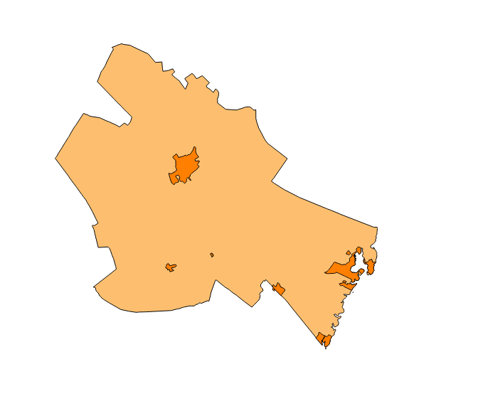
Web Service of Maps that allows access to the cartography of the Heritage Catalog of the municipality of Santa Margalida of the year 2016. The service contains the elements cataloged in urban land, rural land, protection zones and archaeological sites. The associated symbology of the capes is defined by the Town Hall of Santa Margalida following the symbology existing in the sealed pdf plans that are official and that they can be consulted on the Transparency Portal of the city council's electronic headquarters at https://ajsantamargalida.sedelectronica.es. Access to this service is free whenever the Town Hall of Santa Margalida appears as owner of the data and Consell de Mallorca as the owner of the service.
-
Web map service that allows access to the cartography of the municipal layers of Felanitx: turns, inventory of roads from 2015 and numbering of houses on rustic land. The information is in ETRS-89 UTM-31N, although the original information is in ED50 (European Datum 1950). The scale of the layers that make up the wms service is 1: 5000. The original information from which wms was created is in dgn format. WMS service created and published in 2017 by Consell de Mallorca.
-
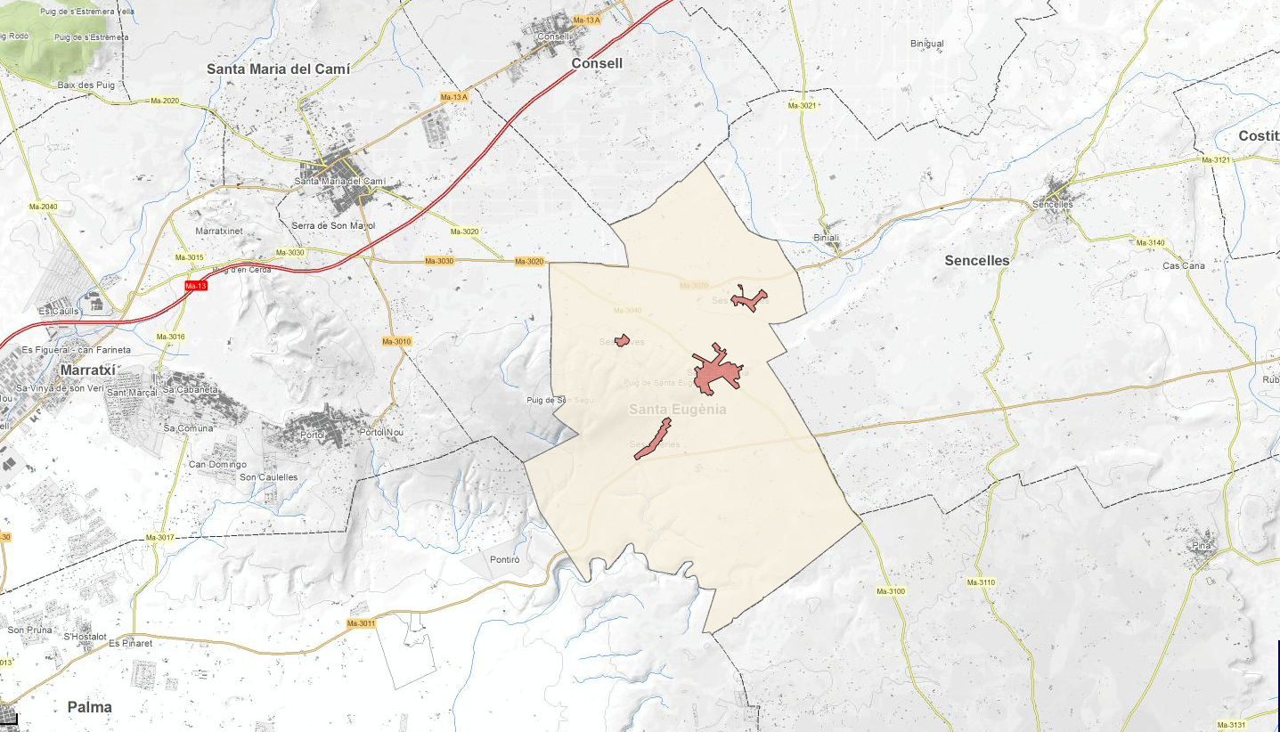
Data set containing the addresses of the urban center of Santa Eugènia and a few kilometers from the rustic area of the municipality. Cartography was extracted from the Cartociudad project of 2012, a state project that collects all spatial information related to directions and roads. The AD.Addresses.053 layer is a layer of points and contains the addresses or portal numbers and various attributes that follow the Cartociudad data model and INSPIRE. Scale 1: 2,000. The reference system: ETRS89. Projection system: UTM fus 31. Storage format: PostgreSQL.
-
Map web service that allows access to the cartography of the hydraulic infrastructures of the municipality of Muro (Mallorca, Illes Balears) as recogled in the Revision of the Municipal General Plan of 2003. In this service there are elements of the drinking water network and of the sanitation water network; In both cases there are specific elements and line elements. The information is in ETRS-89 UTM-31N, although the original information is in ED50 (European Datum). The scale of the data is 1: 2500. The original planning information from which the wms service was created is in dwg format. Service created by Consell de Mallorca.
-
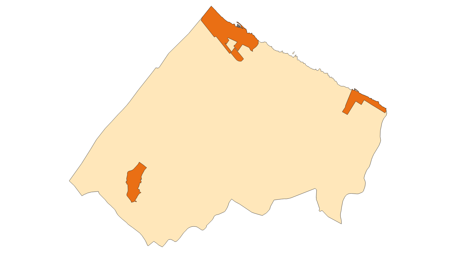
Web Service of Maps that allows access to the cartography of the Subsidiary Rules of the rustic land of the municipality of Sant Joan of the year 2016. The service contains all the layers that make up the Revision of the Subsidiary Rules: APT Roads, limit of urban land, new alignments, buildable depth, units of action, urban and rustic qualification. The associated symbology of the capes is defined by the Town Hall of Sant Joan following the symbology existing in the sealed pdf plans that are official. Access to this service is free whenever the Town Hall of Sant Joan appears as owner of the data and Consell de Mallorca as the owner of the service.
-
Web Map Service according to the INSPIRE profile of ISO19128 WMS 1.3.0 that allows access to the cartography that represents the transport infrastructure network of Marratxí, Mallorca, Balearic Islands Spain. The scale of representation is 1: 5000. Geographic information belonging to the Inspire annex I Transport networks. The layers of information are in accordance with the INSPIRE Directive 2007/2 / EC (name, title and style Inspire by default). The access or connection to this service, to obtain the functionalities is free in any case.
-
Map web service that allows you to access chart cartography where graphic modifications have been made, according to a relationship of timely modifications to the regulations made by the city council. The information is in ETRS-89 UTM-31N, although the original information is in ED50 (European Datum 1950). The original planning information from which wms was created is in dgn format. Four layers are available, which correspond to four specific modifications that have led to changes in the urban cartography. The modifications published are: modification 1 (Change of classification layer to rustic soil the current SAU-NC-6.1 Es Caülls (SR-IP), modification 3 (Change of qualification land of rustic ground common to general system of equipment of Assistance for use located on the Camí de Son Llege Pla de na Tesa), modification 5 (Change of location of the EL 6.053 / P of the EU 6.01 Son Ramonell Nou), modification 6 (Creation of a road system for free space SGELL-8 Annex to the Polígono SAU 5.2 Son Macià). Wms service created by Consell de Mallorca.
-
Web map service that allows access to municipal layers of containers, roads and boundaries of AESA from Andratx The information is in ETRS-89 UTM-31N, although the original information is in ED50 (European Datum 1950). The scale of the layers that make up the wms service is 1: 2000. The original information from which wms was created is in dgn format. WMS service created and published in 2020 by Consell de Mallorca.
-
Map web service that allows access to the cartography of the Revision of the Subsidiary Rules of the urban land. The information is in ETRS-89 UTM-31N, although the original information is in ED50 (European Datum 1950). The scale of the layers that make up the wms service is 1: 2000. The original information from which wms was created is in dgn format. WMS service created and published in 2016 by Consell de Mallorca.