 Catàleg local de Mallorca
maps
Type of resources
Available actions
Municipios
INSPIRE themes
Keywords
Contact for the resource
Provided by
Years
Formats
Representation types
Service types
Scale
-
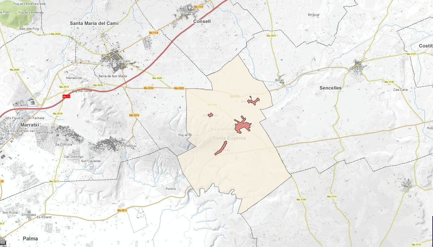
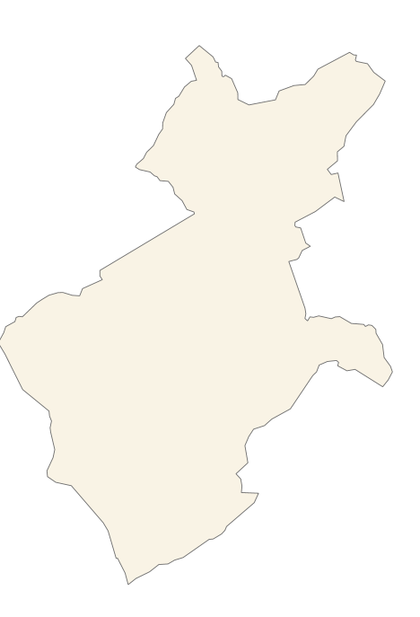
Download service ATOM that allows access to the cartography of transport infrastructure network, land use, protected sites and geographical names of the municipality of Santa Eugènia. The service complies with the INSPIRE download services technical guide (version 3.1) and uses OpenSearch technology to query the available data sets. The phenomena are served according to the original data model of each project. Access to this service is free provided that Santa Eugènia Town Hall appears as the owner of the data and Consell de Mallorca as the owner of the service. Scale 1: 2,000.
-
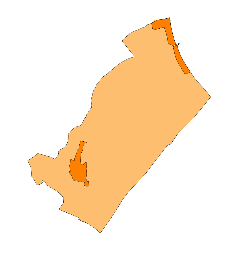
ATOM download service that allows access to the cartography of addresses, transport infrastructure network, land use, protected sites, buildings, management areas and geographical names of the municipality of Felanitx. The service complies with the INSPIRE download services technical guide (version 3.1) and uses OpenSearch technology to query the available data sets. The phenomena are served according to the original data model of each project. Access to this service is free provided that Felanitx Town Hall appears as the owner of the data and Consell de Mallorca as the owner of the service. Scale 1: 2,000.
-
ATOM download service that allows access to the cartography of addresses, transport infrastructure network and geographical names of the municipality of Búger. The service complies with the INSPIRE download services technical guide (version 3.1) and uses OpenSearch technology to query the available data sets. The phenomena are served according to the original data model of each project. Access to this service is free provided that Búger Town Hall appears as the owner of the data and Consell de Mallorca as the owner of the service. Scale 1: 2,000.
-
Download service ATOM that allows access to the cartography of addresses, transport infrastructure network, land use, protected sites and geographical names of the municipality of Ariany. The service complies with the INSPIRE download services technical guide (version 3.1) and uses OpenSearch technology to query the available data sets. The phenomena are served according to the original data model of each project. Access to this service is free provided that Ariany Town Hall appears as the owner of the data and Consell de Mallorca as the owner of the service. Scale 1: 2,000.
-
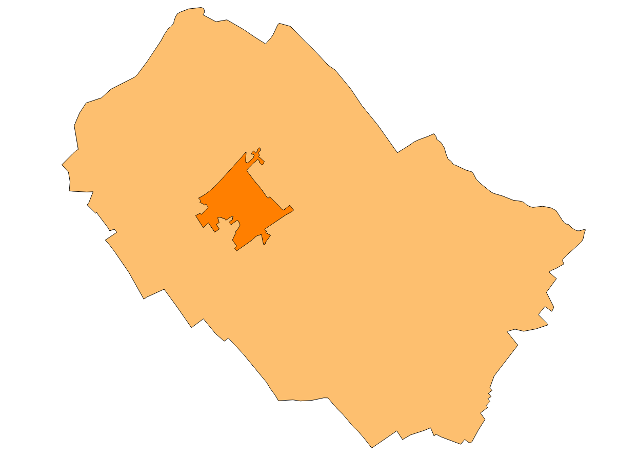
ATOM download service that allows access to the cartography of addresses, transport infrastructure network, land use, protected sites, management areas, utilities and governmental services and geographical names of the municipality of Alaró. Cartography extracted from the Cartociudad project. The service complies with the INSPIRE download services technical guide (version 3.1) and uses OpenSearch technology to query the available data sets. The phenomena are served according to the original data model of each project. Access to this service is free provided that Alaró Town Hall appears as the owner of the data and Consell de Mallorca as the owner of the service. Scale 1: 2,000.
-
Download service ATOM that allows access to the cartography of addresses, transport infrastructure network, land use, protected sites, public services, management areas, buildings and geographical names of the municipality of Muro. Cartography extracted from the Cartociudad project. The service complies with the INSPIRE download services technical guide (version 3.1) and uses OpenSearch technology to query the available data sets. The phenomena are served according to the original data model of each project. Access to this service is free provided that Muro Town Hall appears as the owner of the data and Consell de Mallorca as the owner of the service. Scale 1: 2,000.
-
ATOM download service that allows access to the cartography of addresses, transport infrastructure network, land use, protected sites and geographical names of the municipality of Binissalem. The service complies with the INSPIRE download services technical guide (version 3.1) and uses OpenSearch technology to query the available data sets. The phenomena are served according to the original data model of each project. Access to this service is free provided that Binissalem Town Hall appears as the owner of the data and Consell de Mallorca as the owner of the service. Scale 1: 2,000.
-
Web Map Service that allows access to the cartography of the Local Infrastructure and Equipment Survey (EIEL). Cartography that is kept updated with the information offered by the city councils. Access to this service is free provided that the Consell de Mallorca appears as the owner of the data and Consell de Mallorca as the owner of the service.
-
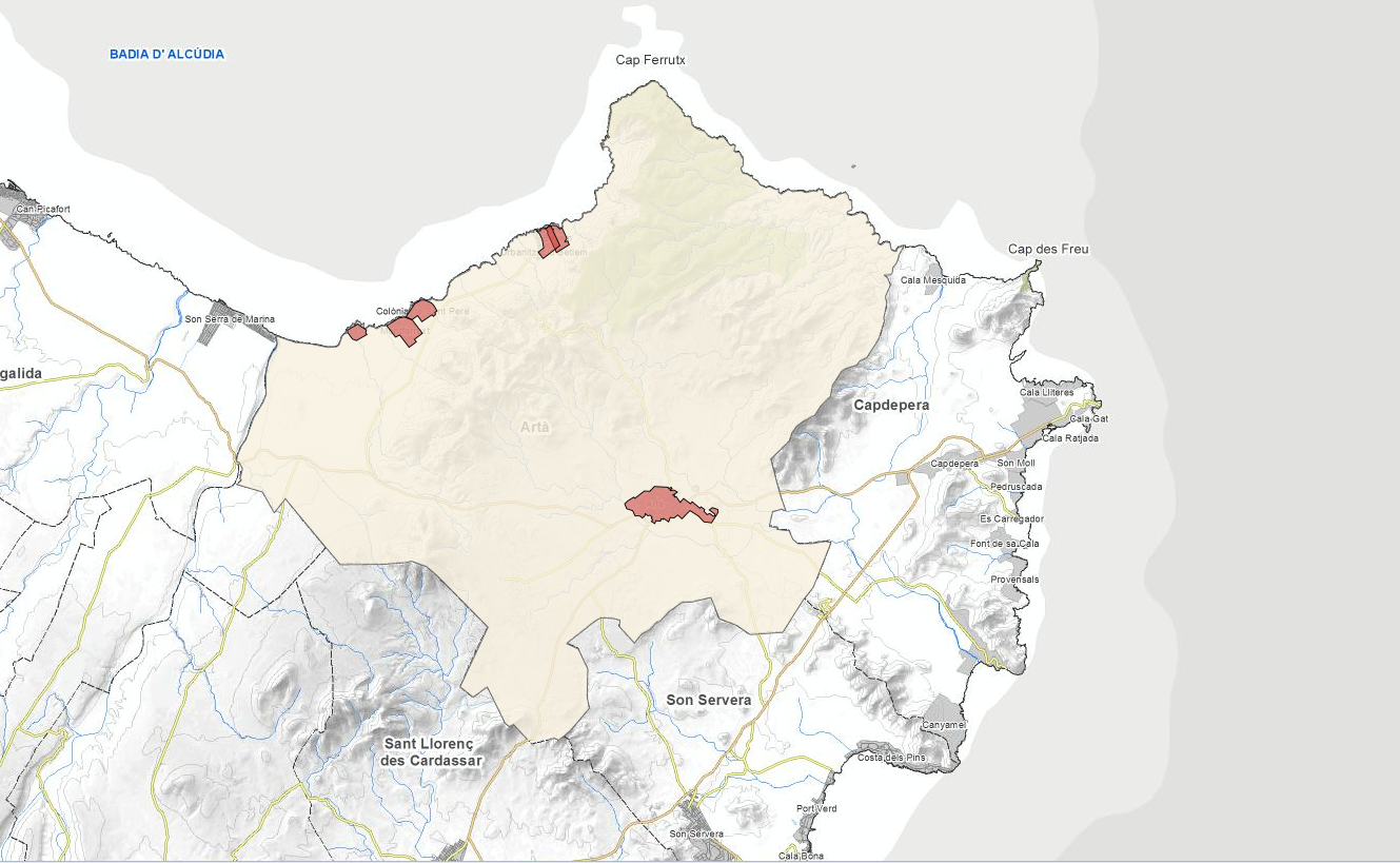
ATOM download service that allows access to the cartography of addresses, transport infrastructure network, land use, protected sites and geographical names of the municipality of Artà. The service complies with the INSPIRE download services technical guide (version 3.1) and uses OpenSearch technology to query the available data sets. The phenomena are served according to the original data model of each project. Access to this service is free provided that Artà Town Hall appears as the owner of the data and Consell de Mallorca as the owner of the service. Scale 1: 2,000.
-
ATOM download service that allows access to the cartography of addresses, transport infrastructure network, land use, protected sites, managed areas, buildings and geographical names of the municipality of Marratxí. The service complies with the INSPIRE download services technical guide (version 3.1) and uses OpenSearch technology to query the available data sets. The phenomena are served according to the original data model of each project. Access to this service is free provided that Marratxí Town Hall appears as the owner of the data and Consell de Mallorca as the owner of the service. Scale 1: 2,000.