 Catàleg local de Mallorca
Contact for the resource
Ajuntament de Sant Joan Joan
Type of resources
Available actions
Municipios
Keywords
Contact for the resource
Provided by
Years
Formats
Representation types
Scale
From
1
-
1
/
1
-
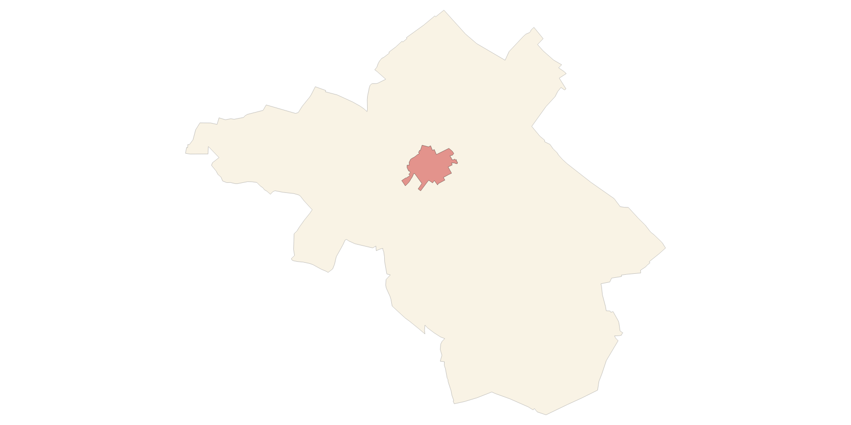
Data set containing the management areas of the municipality of Sant Joan. The cartography was taken from the Review of the subsidiary regulations of Sant Joan of 2016. The AM.ForestManagementArea layer is a polygon layer and contains managed, restricted, or regulated forest areas that follow the INSPIRE data model. Scale 1: 5,000. The reference system: ETRS89. Projection system: UTM zone 31. Storage format: PostgreSQL.