 Catàleg local de Mallorca
planningCadastre
Type of resources
Available actions
Municipios
INSPIRE themes
Keywords
Contact for the resource
Provided by
Years
Formats
Representation types
Scale
-
Data set that contains the Catalog of roads in the municipality of Algaida that includes the ownership, status and typological aspects of the roads. Scale 1: 5,000. The reference system: ETRS89. Projection system: UTM spindle 31. Storage format: DGN and Postgis.
-
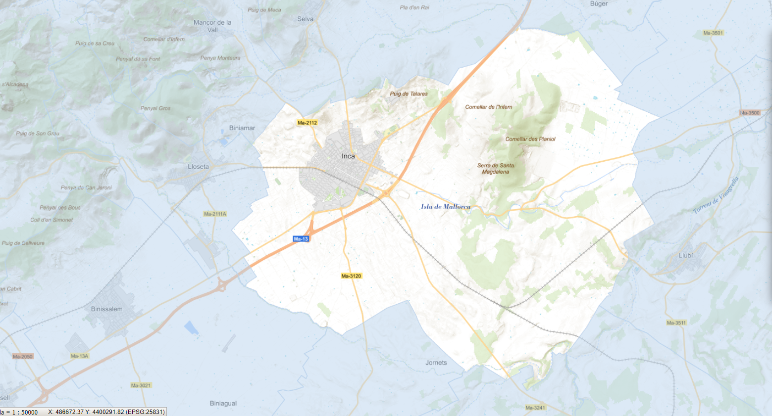
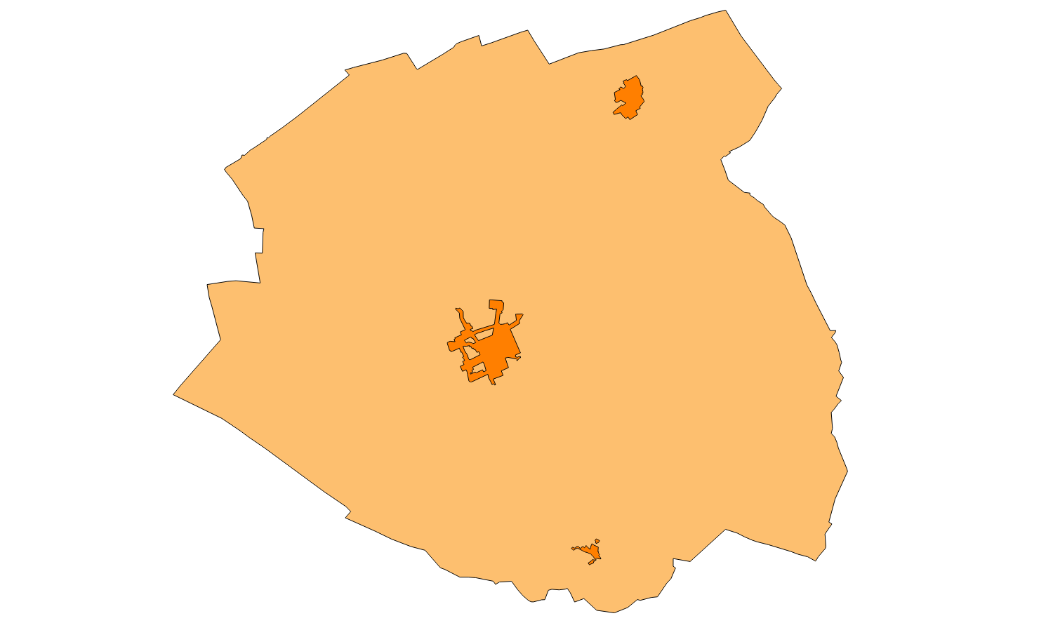
Data set that contains the Catalog of roads in the municipality of Inca that includes the ownership, status and typological aspects of the roads. Scale 1: 5,000. The reference system: ETRS89. Projection system: UTM spindle 31. Storage format: GeopPackage and Postgis.
-
Data set that contains the inventory of public roads of Puigpunyent of the year 2004. Scale 1: 25,000. The reference system: ETRS89. Projection system: UTM spindle 31. Storage format: DGN i SHP.
-
Data set of the subject Using the soil of INSPIRE, generated from the cartography of the Revised Text of Calvià 2012. It consists of three layers: Spatial plan, Zoning elements and Supplementary regulation. The data model and the symbology of the data set follow the specifications of the theme of Annex III of the European Directive INSPIRE, Land use, specifically of the scheme Planned land use. Urban elements are digitized at 1: 2,000 scale and rustic elements, at 1: 5,000 scale. The reference system: ETRS89. Projection system: UTM fus 31. Storage format: PostgreSQL.
-
Data set that contains water network and its elements and sewer network and its elements of Marratxí municipaly. Scale 1: 5,000. The reference system: ETRS89. Projection system: UTM spindle 31. Storage format: Postgis.
-

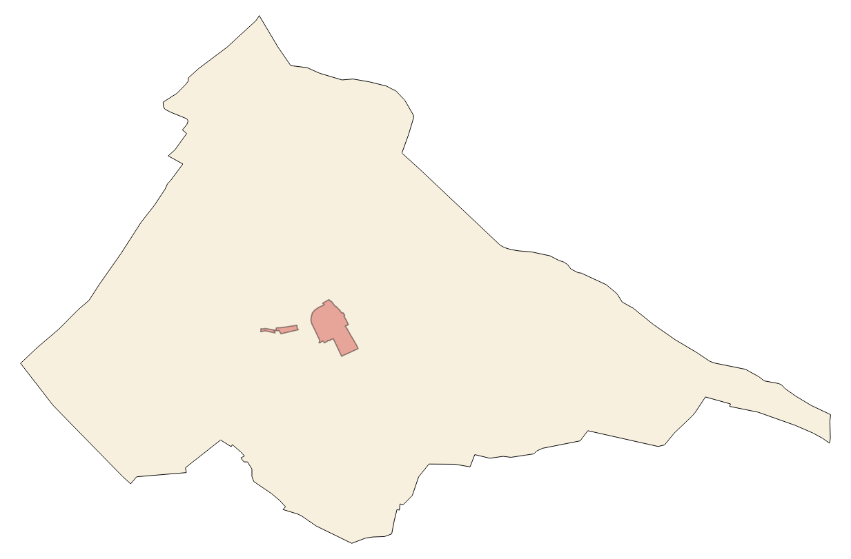
Data set containing the management areas of the municipality of Calvià. The cartography is the final step of the Initial Approval of the Revision of the Calvià General Plan of 2022. The AM.ForestManagementArea layer is a polygon layer and contains managed, restricted, or regulated forest areas that follow the INSPIRE data model. Scale 1: 5,000. The reference system: ETRS89. Projection system: UTM zone 31. Storage format: PostgreSQL.
-

Data set containing elements and areas protected by municipal legislation. The protection is provided by Subsidiari rules of Sa Pobla of 2006. The Protected layer. Sites recognize all protected elements (deposits, urban elements, rustic elements, natural areas, etc.). Urban elements are digitized at 1: 1,000 scale and rustic elements, at 1: 5,000 scale. The reference system: ETRS89. Projection system: UTM fus 31. Storage format: PostgreSQL.
-

Data set containing the management areas of the municipality of Sa Pobla. The cartography was taken from the Sa Pobla Subsidiary Standards of 2006. The AM.ForestManagementArea layer is a polygon layer and contains managed, restricted, or regulated forest areas that follow the INSPIRE data model. Scale 1: 5,000. The reference system: ETRS89. Projection system: UTM zone 31. Storage format: PostgreSQL.
-
Data set that contains the Catalog of roads in the municipality of Lloret de Vistalegre that includes the ownership, status and typological aspects of the roads. Scale 1: 5,000. The reference system: ETRS89. Projection system: UTM spindle 31. Storage format: GeopPackage and Postgis.
-
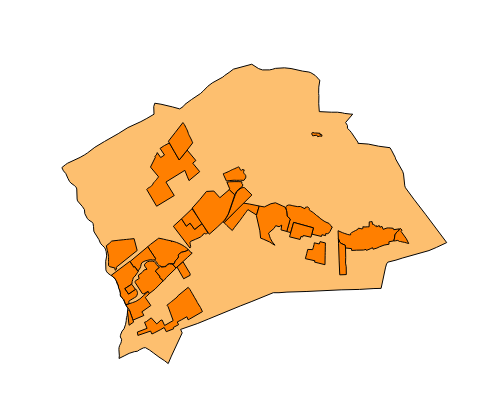
Data set that contains the road inventory of the Catalog of roads in the municipality of Marratxí that includes the ownership, status and typological aspects of the roads. Scale 1: 5,000. The reference system: ETRS89. Projection system: UTM spindle 31. Storage format: GeopPackage and Postgis.