 Catàleg local de Mallorca
2002
Type of resources
Available actions
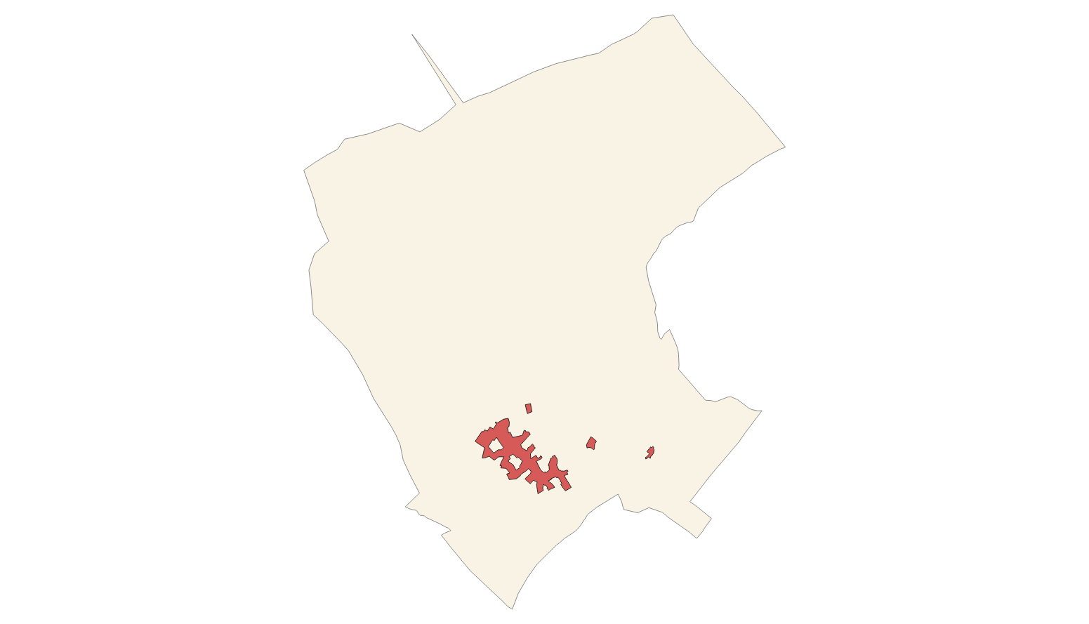
Municipios
INSPIRE themes
Keywords
Contact for the resource
Provided by
Years
Formats
Representation types
Service types
Scale
-
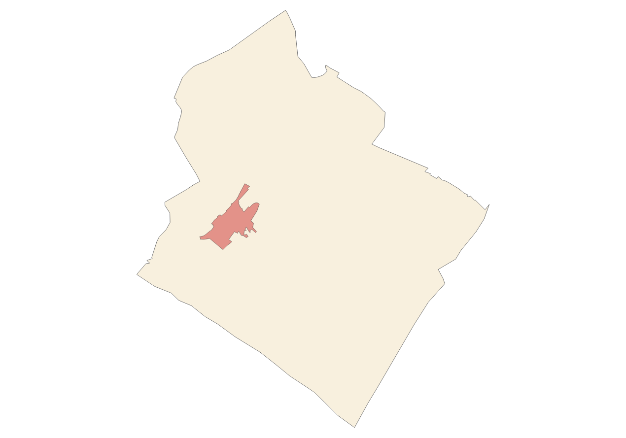
Data set that contains the Catalog of roads in the municipality of Valldemossa that includes the ownership, status and typological aspects of the roads. Scale 1: 5,000. The reference system: ETRS89. Projection system: UTM spindle 31. Storage format: GeopPackage and Postgis.
-
Data set containing elements and areas protected by municipal legislation. The protection is provided by the Subsidiary Regulations of the municipality of LLubí in 2002. The Protected layer. Sites recognize all protected elements (deposits, mills, possessions, natural areas, etc.). We also find several layers according to the type of Designation, Scheme of Designation and Protection Classification. Urban elements are digitized at 1: 1,000 scale and rustic elements, at 1: 5,000 scale. The reference system: ETRS89. Projection system: UTM fus 31. Storage format: PostgreSQL.
-
Web Service of Maps that allows access to the cartography of the Heritage inventory of the municipality of Llubí of the year 2002. The service contains all the layers that make up the Subsidiary Rules: mills, term cross, archaeologica sites, protected buildings in urban and rustic. The associated symbology of the capes is defined by the Town Hall of Llubí following the symbology existing in the sealed pdf plans that are official and that can be consulted at http://www.ajllubi.net. Access to this service is free whenever the Town Hall of Llubí appears as owner of the data and Consell de Mallorca as the owner of the service.
-
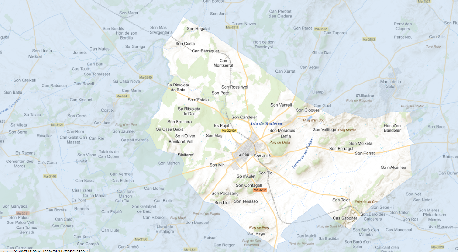
Data set that contains the Catalog of roads in the municipality of Sineu that includes the ownership, status and typological aspects of the roads. Scale 1: 5,000. The reference system: ETRS89. Projection system: UTM spindle 31. Storage format: GeopPackage and Postgis.
-
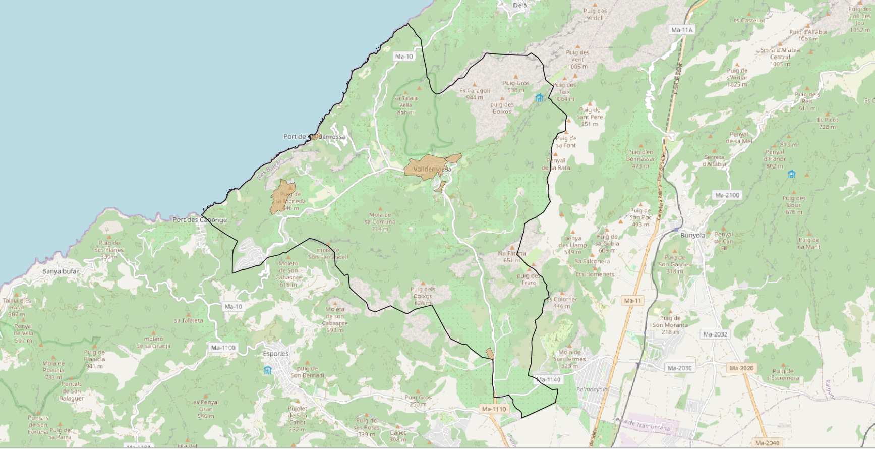
Data set that contains the Catalog of roads in the municipality of Sóller that includes the ownership, status and typological aspects of the roads. Scale 1: 5,000. The reference system: ETRS89. Projection system: UTM spindle 31. Storage format: GeopPackage and Postgis.
-
Web Service of Maps that allows access to the cartography of the Subsidiary Rules of the rustic land of the municipality of Campanet of the year 2003. The service contains all the layers that make up the Subsidiary Rules: ARIP, ANEI, landscape farming, livestock farming, oak grove, forestry, traditional construcions. The associated symbology of the capes is defined by the Town Hall of Campanet following the symbology existing in the pdf plans that are official and that can be consulted at http://www.ajcampanet.net. Access to this service is free whenever the Town Hall of Campanet appears as owner of the data and Consell de Mallorca as the owner of the service.
-
Web Service of Maps that allows access to the cartography of the Subsidiary Rules of the rustic land of the municipality of Campanet of the year 2002. The service contains all the layers that make up the Subsidiary Rules: urban land boundary and urban zoning. The associated symbology of the capes is defined by the Town Hall of Campanet following the symbology existing in the sealed pdf plans that are official and that can be consulted at http://www.ajcampanet.net. Access to this service is free whenever the Town Hall of Campanet appears as owner of the data and Consell de Mallorca as the owner of the service.
-
Web Service of Maps that allows access to the cartography of the Subsidiary Rules of the rustic land of the municipality of Llubí of the year 2002. The service contains all the layers that make up the Subsidiary Rules: APT Roads, railway infrastructure, limit of urban land, new alignments, buildable depth, units of action, urban and rustic qualification. The associated symbology of the capes is defined by the Town Hall of Llubí following the symbology existing in the sealed pdf plans that are official and that can be consulted at http://www.ajllubi.net. Access to this service is free whenever the Town Hall of Llubí appears as owner of the data and Consell de Mallorca as the owner of the service.