 Catàleg local de Mallorca
2012
Type of resources
Available actions
Municipios
INSPIRE themes
Keywords
Contact for the resource
Provided by
Years
Formats
Representation types
Service types
Scale
-
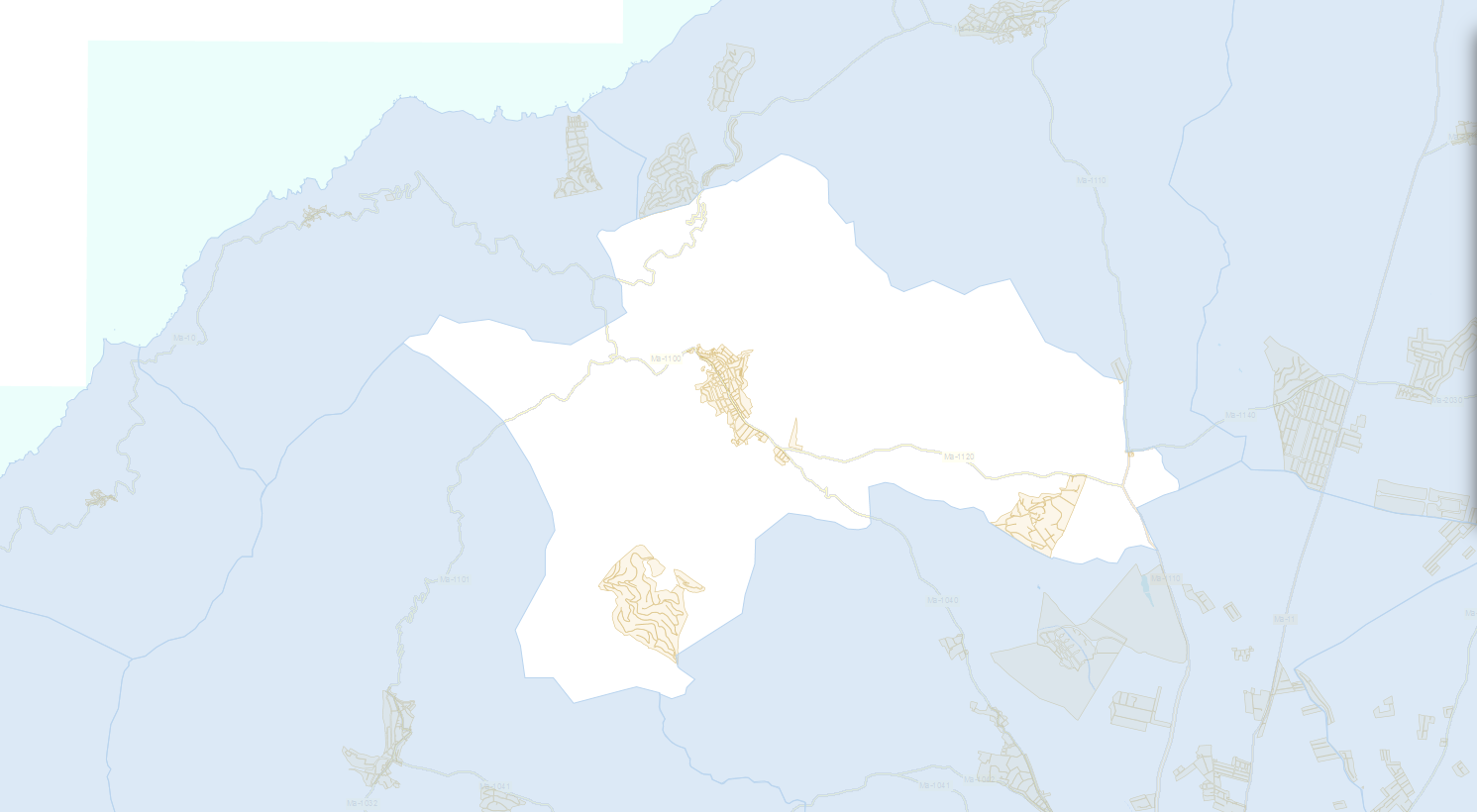
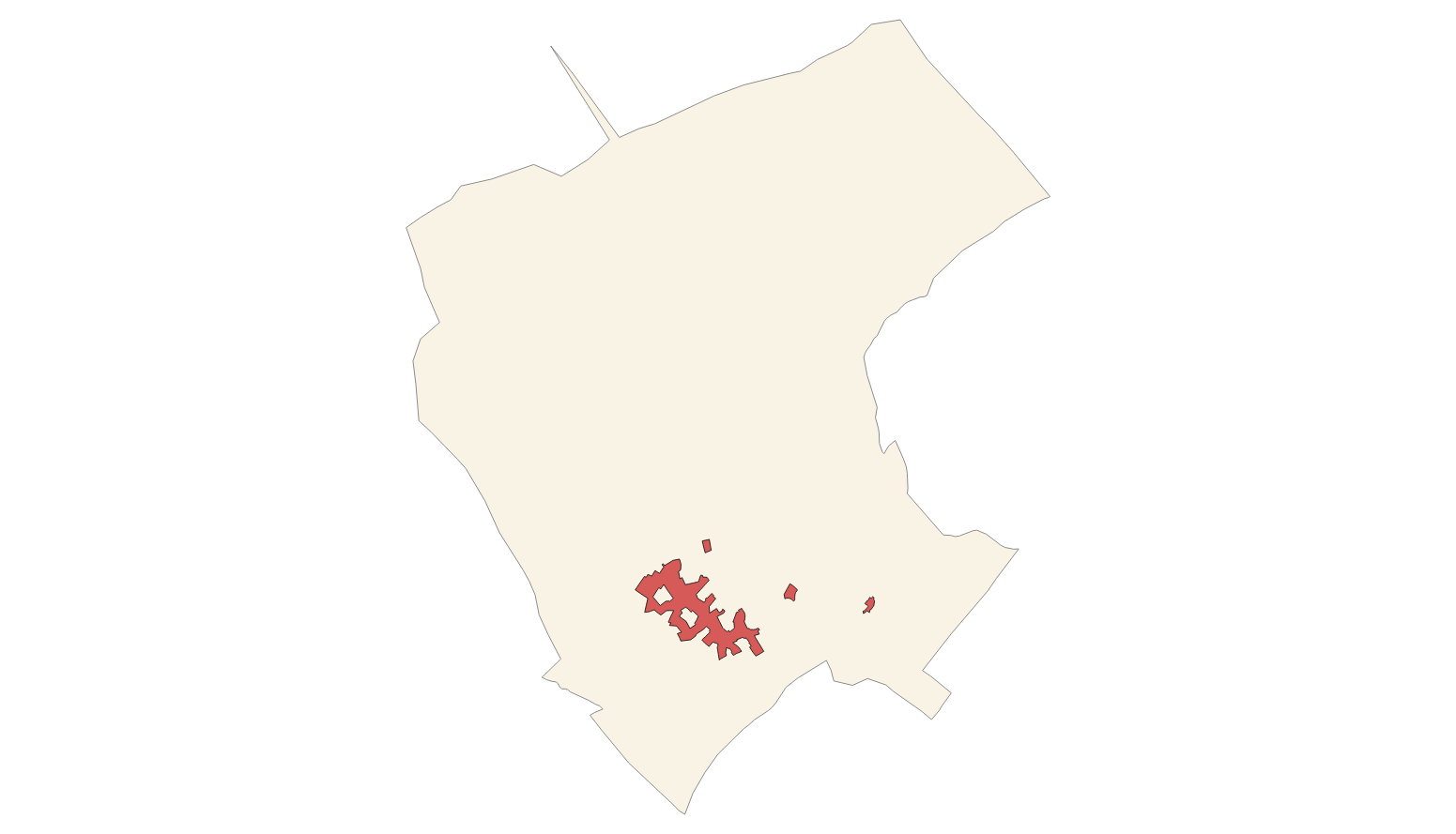
Data set containing elements and areas protected by municipal legislation. The protection is provided by the Heritage Catalogue in 2012. The Protected layer. Sites recognize all protected elements (deposits, urban elements, rustic elements, natural areas, etc.). Urban elements are digitized at 1: 1,000 scale and rustic elements, at 1: 5,000 scale. The reference system: ETRS89. Projection system: UTM fus 31. Storage format: PostgreSQL.
-
Web Service of Maps that allows access to the cartography of the Heritage Catalog of the municipality of Campanet of the year 2011. The service contains all the layers that make up the Subsidiary Rules: urban buildins, rustic buildings, protection zone, archaeological sites. The associated symbology of the capes is defined by the Town Hall of Campanet following the symbology existing in the sealed pdf plans that are official and that can be consulted at http://www.ajcampanet.net. Access to this service is free whenever the Town Hall of Campanet appears as owner of the data and Consell de Mallorca as the owner of the service.