 Catàleg local de Mallorca
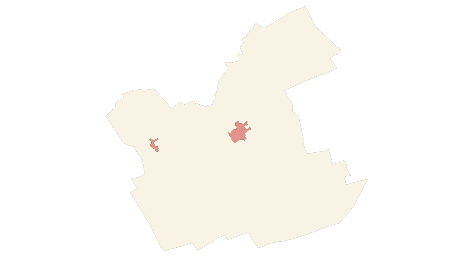
sencelles
Type of resources
Available actions
Municipios
INSPIRE themes
Keywords
Contact for the resource
Provided by
Years
Formats
Representation types
Scale
-
Cartography of the network of roads, roads and streets of the municipality of Sencelles. It refers to the topic Transportation Networks in Annex I of the INSPIRE Directive. Mapping generated in 2019. The sources are the streets and paths of the Cartociudad's project, wich are update with the staff's knowlege of the council. Scale 1: 2,000 the streets and scale 1: 5,000 the roads and roads. Reference system: ETRS89. Projection system: UTM fus 31. Storage format: PostgreSQL.
-
Addresses of the town of Sencelles according to the specifications of the European INSPIRE Directive
Data set containing the addresses of the urban center of Sencelles and a few kilometers from the rustic area of the municipality. Cartography was extracted from the Cartociudad project of 2012, a state project that collects all spatial information related to directions and roads. The AD.Addresses layer is a layer of points and contains the addresses or portal numbers and various attributes that follow the Cartociudad data model and INSPIRE. Scale 1: 2,000. The reference system: ETRS89. Projection system: UTM fus 31. Storage format: PostgreSQL.
-
Cartography of the toponymy of the municipality of Sencelles. The names refer to the topics of the INSPIRE Transport, Land Use and Protected Sites Directive in Annex I of the INSPIRE Directive and Land Uses in Annex III. Cartography generated in 2021. The sources are the Cartociudad project, version 2012, for the names of Transport, and the Urban Rules of 2002 and the Country Rules of 2003 for the names of Land Use and Protected Sites. The names of the urban elements are at scale 1: 2,000 and the names of the rustic elements, at a scale of 1: 5,000. Reference system: ETRS89. Projection system: UTM fus 31. Storage format: PostgreSQL.