 Catàleg local de Mallorca
2000
Type of resources
Available actions
Municipios
INSPIRE themes
Keywords
Contact for the resource
Provided by
Years
Formats
Representation types
Service types
Scale
-
Web map service that allows access to the cartography of the initial aproval of the Catalog of roads in the municipality of Santa Margalida in 2000 which includes the ownership, status and typological aspects of the roads. The symbolism associated with the layers is defined by the Santa Margalida City Council. On the town hall website www.ajsantamargalida.net you can access all the cartography and files associated with this catalogue. Access to this service is free as long as Santa Margalida City Council appears as the owner of the data and Consell de Mallorca as the owner of the service.
-
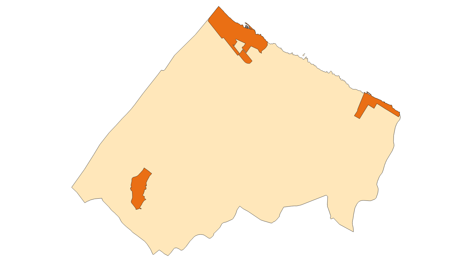
Data set that contains the initial approval of the Catalog of roads in the municipality of Santa Margalida that includes the ownership, status and typological aspects of the roads. Scale 1: 5,000. The reference system: ETRS89. Projection system: UTM spindle 31. Storage format: GeopPackage and Postgis.