 Catàleg local de Mallorca
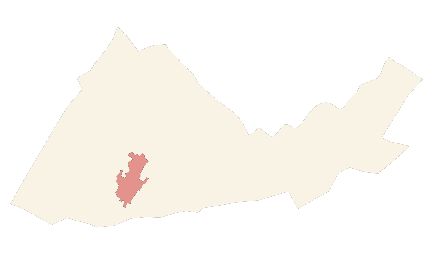
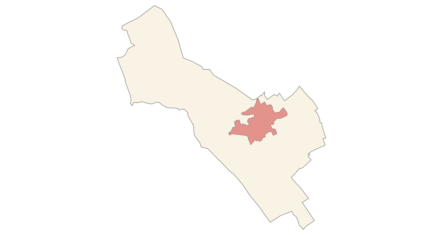
lloseta
Type of resources
Available actions
Municipios
INSPIRE themes
Keywords
Contact for the resource
Provided by
Years
Formats
Representation types
Scale
-
Cartography of the network of roads, roads and streets of the municipality of Maria de la Salut. It refers to the topic Transportation Networks in Annex I of the INSPIRE Directive. Mapping generated in 2022. The sources are the streets and paths of the Cartociudad's project, wich are update with the staff's knowlege of the council. Scale 1: 2,000 the streets and scale 1: 5,000 the roads and roads. Reference system: ETRS89. Projection system: UTM fus 31. Storage format: PostgreSQL.
-
Data set containing the addresses of the urban center of Lloseta and a few kilometers from the rustic area of the municipality. Cartography was extracted from the Cartociudad project of 2012, a state project that collects all spatial information related to directions and roads. The AD.Addresses layer is a layer of points and contains the addresses or portal numbers and various attributes that follow the Cartociudad data model and INSPIRE. Scale 1: 2,000. The reference system: ETRS89. Projection system: UTM fus 31. Storage format: PostgreSQL.
-
Cartography of the toponymy of the municipality of Lloseta. The names refer to the topics of the Transport Network in Annex I of the INSPIRE Directive. Cartography generated in 2021. The sources are the Cartociudad project, version 2012, for the names of Transport. The names of the urban elements are at scale 1: 2,000 and the names of the rustic elements, at a scale of 1: 5,000. Reference system: ETRS89. Projection system: UTM fus 31. Storage format: PostgreSQL.
-
Cartography of the network of roads, roads and streets of the municipality of Lloseta. It refers to the topic Transportation Networks in Annex I of the INSPIRE Directive. Mapping generated in 2019. The sources are the streets and paths of the Cartociudad's project, wich are update with the staff's knowlege of the council. Scale 1: 2,000 the streets and scale 1: 5,000 the roads and roads. Reference system: ETRS89. Projection system: UTM fus 31. Storage format: PostgreSQL.