 Catàleg local de Mallorca
2009
Type of resources
Available actions
Municipios
INSPIRE themes
Keywords
Contact for the resource
Provided by
Years
Formats
Representation types
Service types
Scale
-
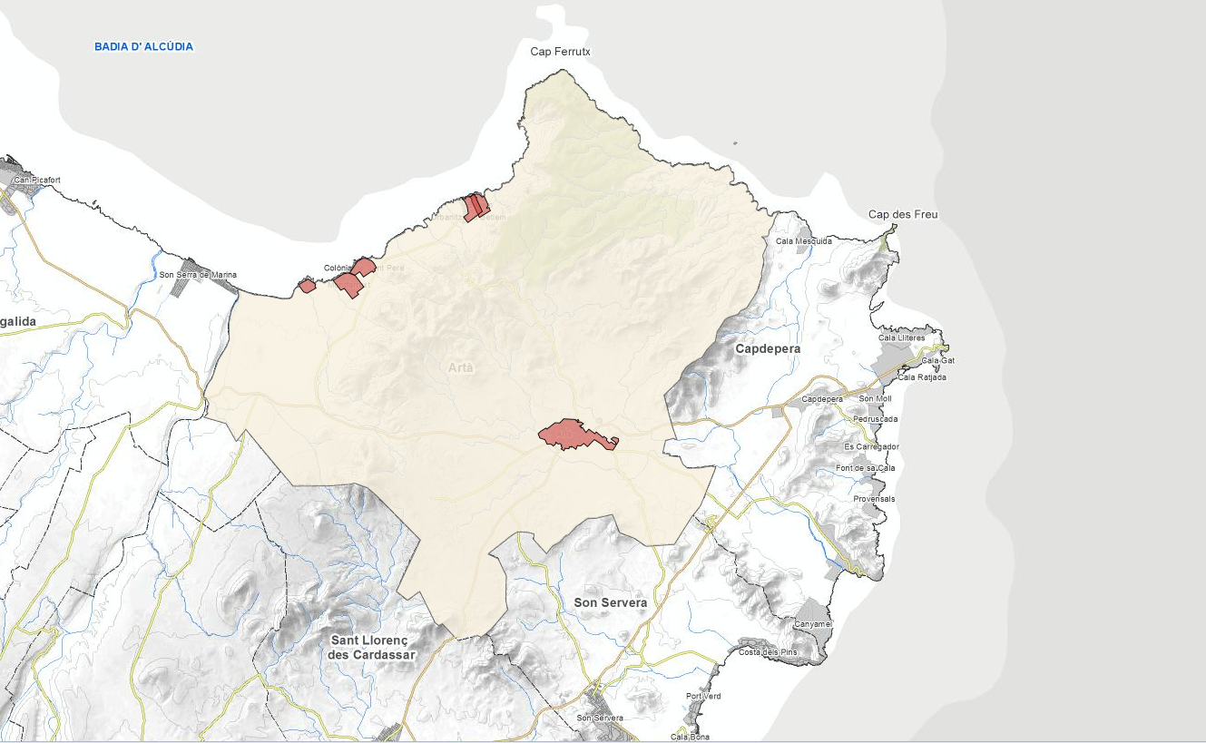
Web Map Service that allows access to the cartography of the renovation of the distribution, sewerage and stream network of the nucleus of Artà in 2009. The service contains potable water, rainwater, manholes, sinks, meters, among other layers. The symbology associated with the layers is defined by the City Council of Artà following the existing symbology in the pdf plans. Access to this service is free as long as the City of Artà appears as the owner of the data and Consell de Mallorca as the owner of the service.
-
Web Map Service that allows access to the cartography of the Catalog of roads in the municipality of 2003, prepared by the Consell de Mallorca, Department of the Environment by the City of Artà. The symbolism associated with the layers is the same as in the pdf plans. Access to this service is free as long as Artà City Council appears as the owner of the data and Consell de Mallorca as the owner of the service.
-
Data set that contains the cartography of the renovation of the supply network, sewerage and stormwater of the town of Artà: wastewater, log wells, stormwater wells, drinking water grilled stormwater among others. Scale 1: 1,000. The reference system: ETRS89. Projection system: UTM spindle 31. Storage format: DGN and Postgis
-
Dataset of the polideportivo project of the municipality of Bunyola of the year 2004. It contains the cartography of each zone of the polideportivo and the corresponding label. Project promoter: Bunyola Town Hall. Scale 1: 5,000. The coordinate system: ETRS89, axle 31 (EPSG: 25831).