 Catàleg local de Mallorca
1000
Type of resources
Available actions
Municipios
INSPIRE themes
Keywords
Contact for the resource
Provided by
Years
Formats
Representation types
Scale
-
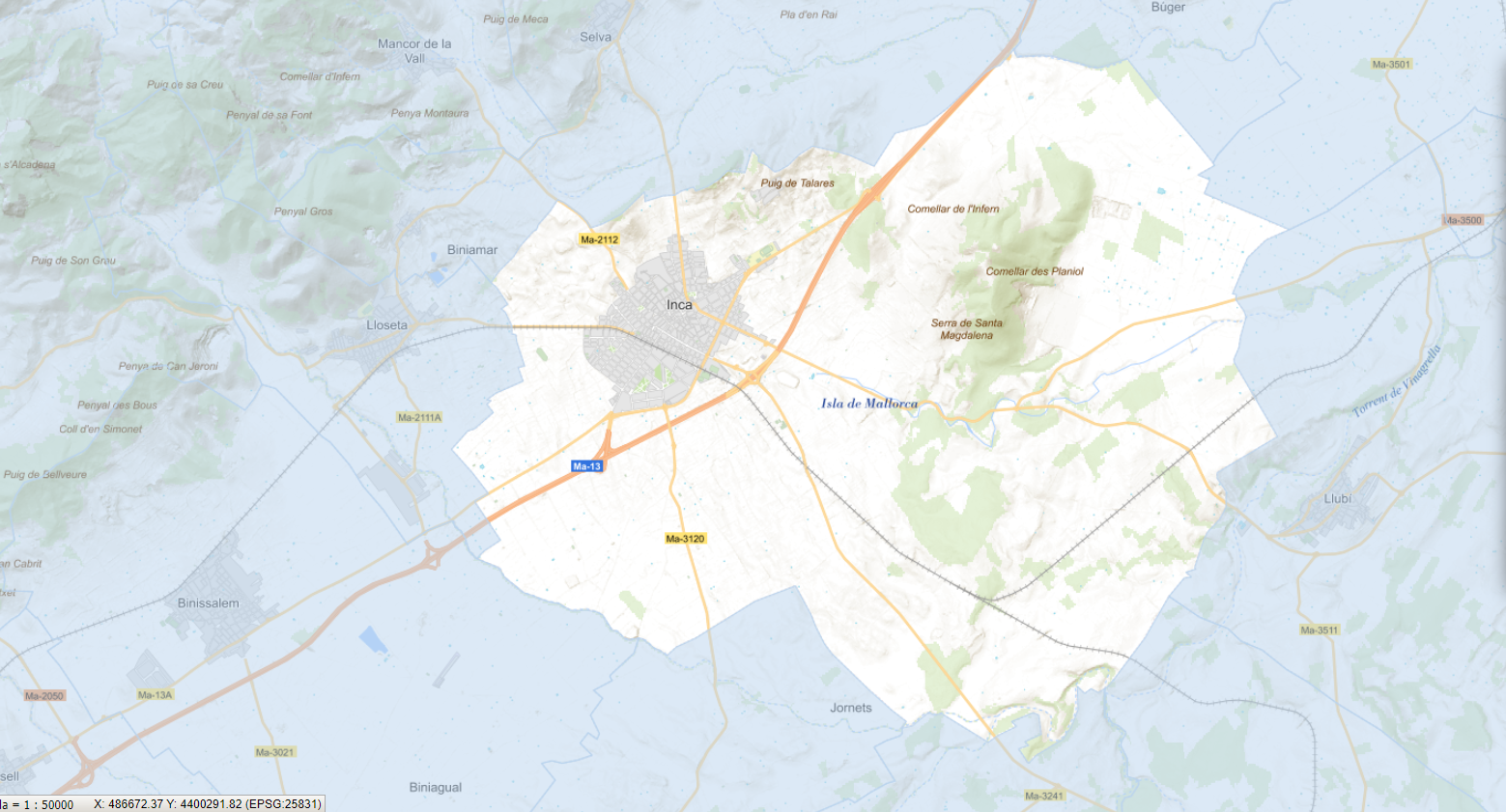
Data set that contains the trees of the urban center of the municipality of Inca, the result of the Urban Tree Management Plan of the municipality approved and published on 2023/10/14. Scale 1:1,000. The reference system: ETRS89. Projection system: UTM zone 31. Storage format: SHP and Geopackage
-
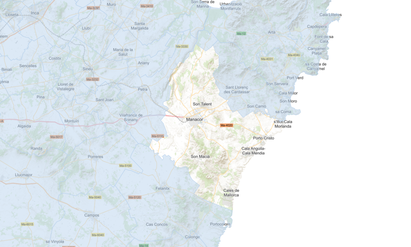
Data set that contains different layers of information and current planning of the municipality of Manacor, including the Heritage Catalog, definitively approved on January 1, 2022. The reference system: ETRS89. Projection system: UTM zone 31. Storage format: Postgis and Geopackage.
-
Data set that contains the cataloged elements in rustic and urban land of the town of Santa Margalida. Scale 1: 1,000 in urban, and 1:5,000 in rustic land. The reference system: ETRS89. Projection system: UTM spindle 31. Storage format: DGN i SHP.
-
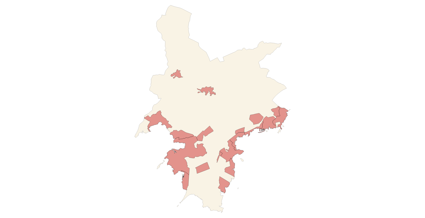
Data set that makes up the points of interest of the municipalities of Mallorca, except Palma. The data corresponds to the year 2025. The sources of the data set are the information provided by the town councils and the Survey of Infrastructures and Local Facilities (EIEL) for the cases of public facilities. Scale: 1:1,000. Reference system: ETRS89, zone 31 (EPSG: 25831)
-
Data set containing the Calvià Adaptation Plan from 1976. Scale 1: 2,000 in urban. The reference system: ETRS89. Projection system: UTM spindle 31. Storage format: ECW.
-

Data set that contains the types of qualifications of the urban and rustic land of the town of Sa Pobla. Scale 1: 1,000. The reference system: ETRS89. Projection system: UTM spindle 31. Storage format: SHP.
-
Data set that contains the types of qualifications of the urban and rustic land of the town of Alcúdia, building conditions, cataloged elements and old town. Scale 1: 1,000. The reference system: ETRS89. Projection system: UTM spindle 31. Storage format: DGN i SHP.
-

Data set that contains the heritage catalog of the town of Alcúdia, approved with prescriptions, with the regulations of Alcúdia: historic center, civil architecture, monumental sculpture, religious architecture, military architecture, industrial architecture, natural spaces, ethnological elements and archaeological sites. Scale 1: 1,000. The reference system: ETRS89. Projection system: UTM spindle 31. Storage format: DGN i SHP.
-
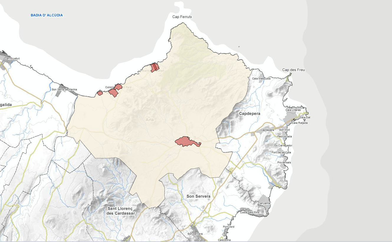
Data set that contains the cartography of the urban land regulations of the municipality of Artà: urban land classification, execution units, urbanizable land, car parks and alignments. Scale 1: 1,000. The reference system: ETRS89. Projection system: UTM spindle 31. Storage format: DGN and SHP.
-
Data set that contains urban land areas and urban regulations. Scale 1: 2,000. The reference system: ETRS89. Projection system: UTM spindle 31. Storage format: Postgis.