 Catàleg local de Mallorca
utilitiesCommunication
Type of resources
Available actions
Municipios
INSPIRE themes
Keywords
Contact for the resource
Provided by
Years
Formats
Representation types
Scale
-
Cartography of the Utility And Governmental Services of the municipality of Lloret de Vistalegre. Reference system: ETRS89. Projection system: UTM fus 31. Storage format: PostgreSQL
-
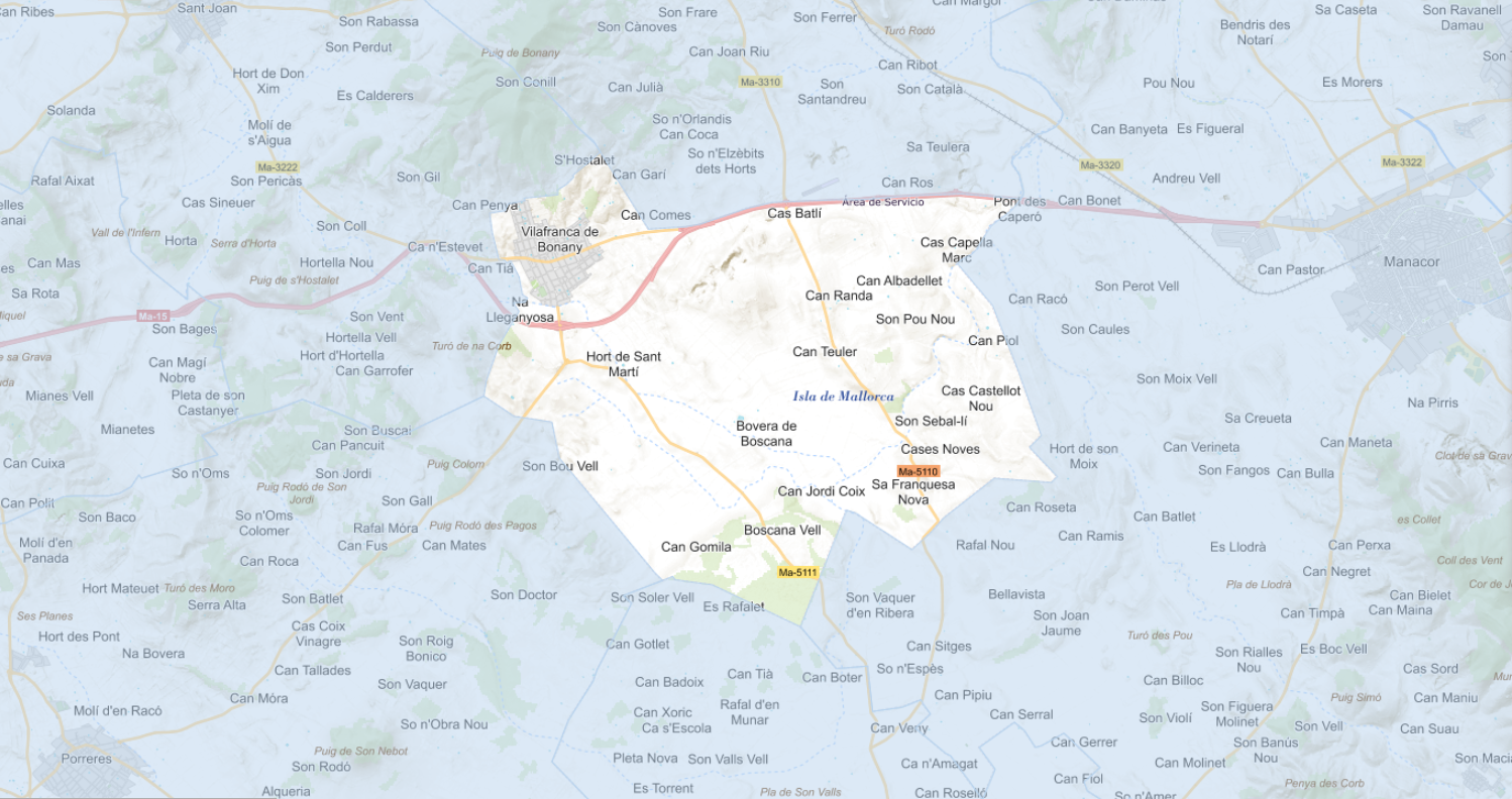
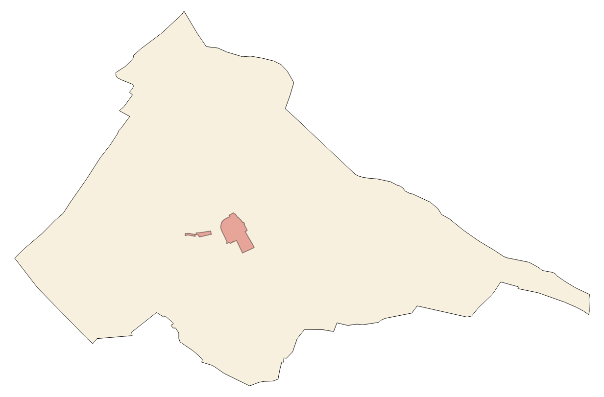
Cartography of the Utility And Governmental Services of the municipality of Vilafranca de Bonany. Reference system: ETRS89. Projection system: UTM fus 31. Storage format: PostgreSQL
-
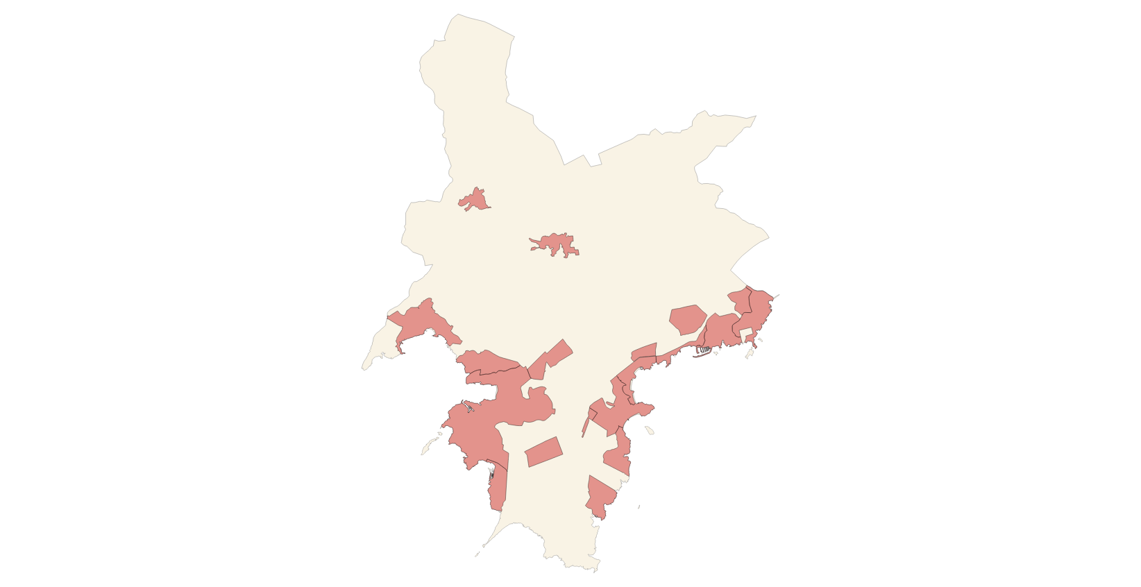
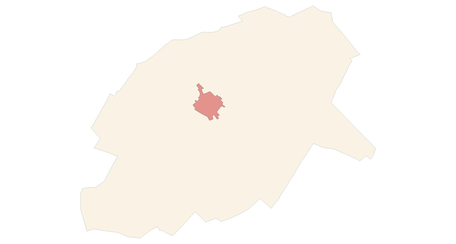
Cartography of the Utility And Governmental Services of the municipality of Santanyí. Reference system: ETRS89. Projection system: UTM fus 31. Storage format: PostgreSQL
-
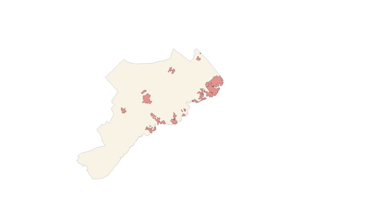
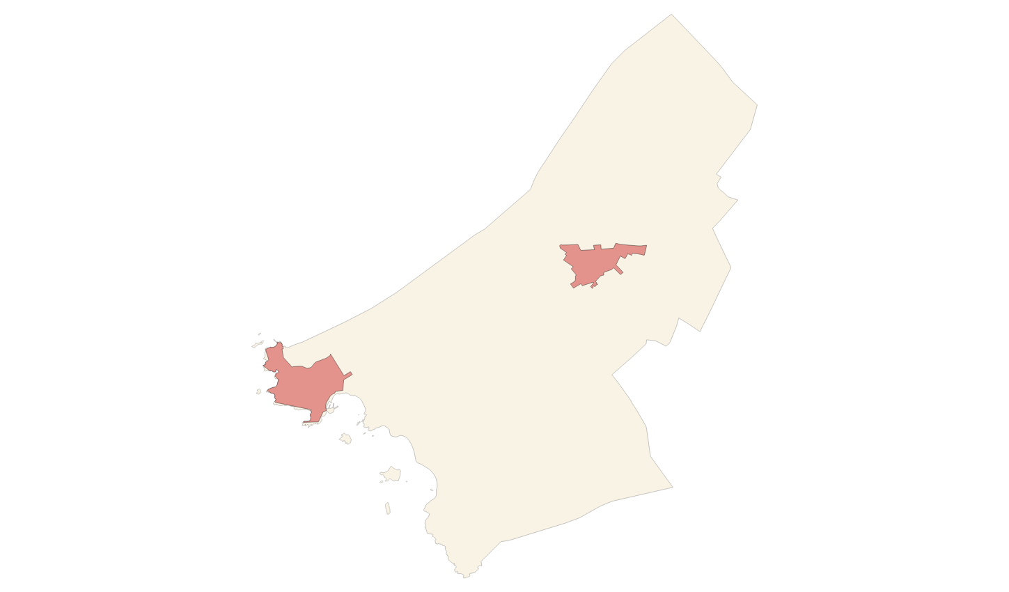
Cartography of the Utility And Governmental Services of the municipality of Calvià. Reference system: ETRS89. Projection system: UTM fus 31. Storage format: PostgreSQL
-
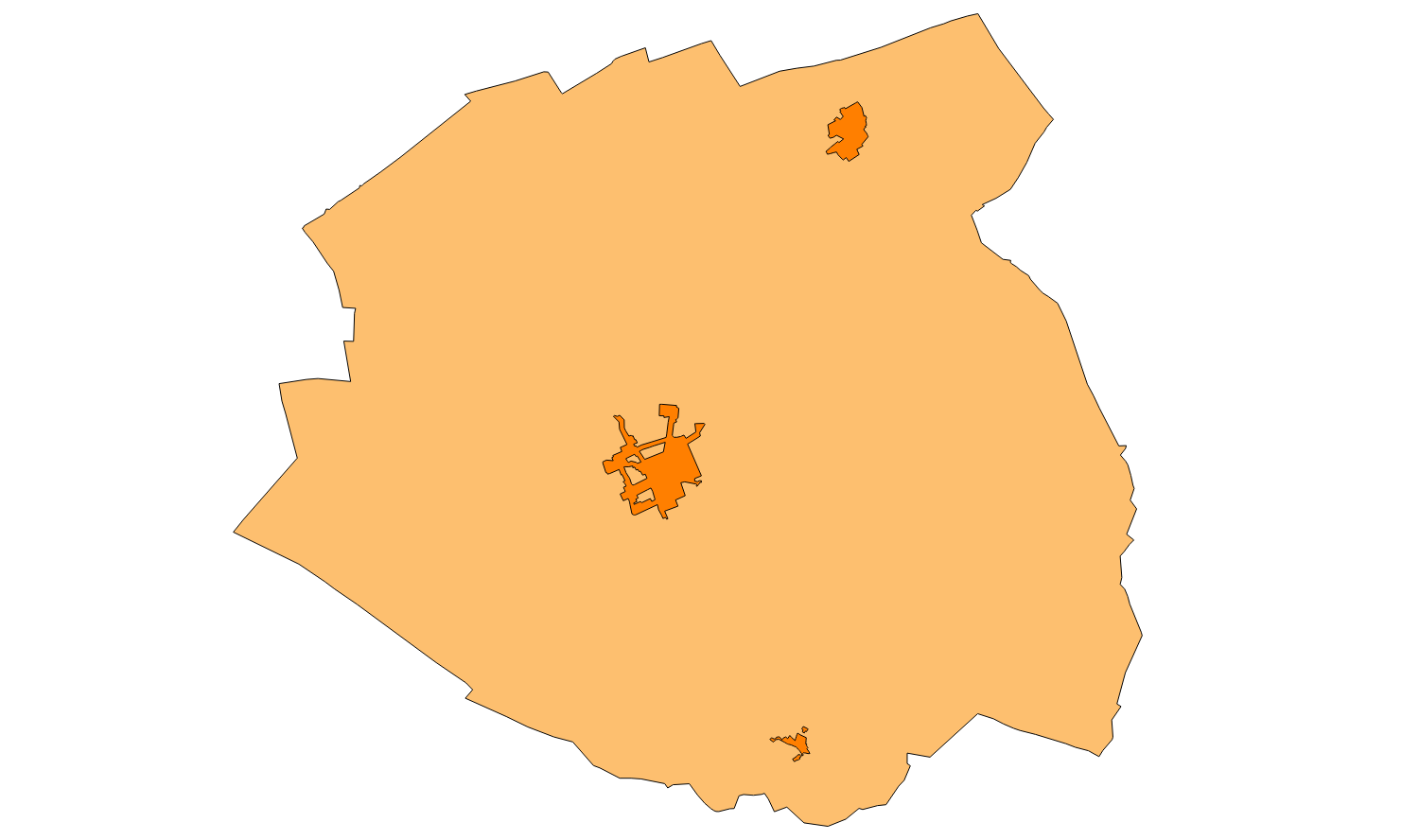
Cartography of the Utility And Governmental Services of the municipality of Algaida. Reference system: ETRS89. Projection system: UTM fus 31. Storage format: PostgreSQL
-
Cartography of the Utility And Governmental Services of the municipality of Ses Salines. Reference system: ETRS89. Projection system: UTM fus 31. Storage format: PostgreSQL
-
Cartography of the Utility And Governmental Services of the municipality of Porreres. Reference system: ETRS89. Projection system: UTM fus 31. Storage format: PostgreSQL
-
Cartography of the Utility And Governmental Services of the municipality of Alaró. Reference system: ETRS89. Projection system: UTM fus 31. Storage format: PostgreSQL
-
Cartography of the Utility And Governmental Services of the municipality of Llubí. Reference system: ETRS89. Projection system: UTM fus 31. Storage format: PostgreSQL
-
Cartography of the Utility And Governmental Services of the municipality of Ariany. Reference system: ETRS89. Projection system: UTM fus 31. Storage format: PostgreSQL