 Catàleg local de Mallorca
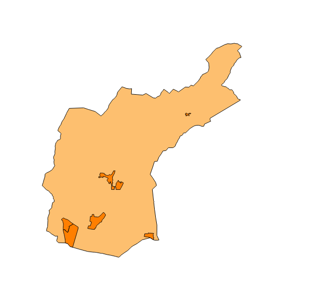
bunyola
Type of resources
Available actions
Municipios
INSPIRE themes
Keywords
Contact for the resource
Provided by
Years
Formats
Representation types
Scale
-
Dataset of the subject of Annex I of INSPIRE: Administrative units of the municipality of Bunyola created in 2015. The municipality of Bunyola is composed of a smaller entity: Palmanyola, therefore, the dataset complies with the requirements of the subject of INSPIRE. Scale 1: 5,000. The coordinate system: ETRS89, axle 31 (EPSG: 25831).
-
Datset of the toponymy of the town of Bunyola. The names refer to the topics of the INSPIRE Directive Protected Places, Administrative units and Transport network of Annex I of the INSPIRE Directive. Cartography generated in 2015. The names of the urban elements are on a scale of 1: 2,000 and the names of the elements of rustic, on a scale of 1: 5,000. Reference system: ETRS89. Projection system: UTM fus 31. Storage format: PostgreSQL.
-
Data set containing the addresses of the urban center of Bunyola and a few kilometers from the rustic area of the municipality. Cartography was extracted from the Cartociudad project of 2012, a state project that collects all spatial information related to directions and roads. The AD.Addresses layer is a layer of points and contains the addresses or portal numbers and various attributes that follow the Cartociudad data model and INSPIRE. Scale 1: 2,000. The reference system: ETRS89. Projection system: UTM fus 31. Storage format: PostgreSQL.
-
Dataset of the Bunyola Trail Catalog finally approved in 2009. It collects the cartography of public roads, as well as its status and typology, of the municipality of Bunyola. Scale 1: 5,000. The coordinate system: ETRS89 (EPSG: 25831). More information at http://www.ajbunyola.net.
-
Dataset of the network of roads, roads and streets of the town of Bunyola. It refers to the topic Transportation Networks in Annex I of the INSPIRE Directive. Mapping generated in 2014. The sources are the streets and paths of the Cartociudad's project, wich are update with the staff's knowlege of the council. Scale 1: 2,000 the streets and scale 1: 5,000 the roads and roads. Reference system: ETRS89. Projection system: UTM fus 31. Storage format: PostgreSQL.
-
Dataset of the Emergency Plan of Sa Coma, Bunyola, 2015. It can be defined as the document that establishes the organic and functional framework of the organic and functional framework of the authorities, bodies and bodies, as well as mechanisms for mobilization of personal and private media, both public and private, necessary for the protection of the physical integrity of people, goods and collective and environmental heritage in situations of extraordinary emergency. Scale 1: 5,000. The coordinate system: ETRS89 (EPSG: 25831).
-
Dataset of the polideportivo project of the municipality of Bunyola of the year 2004. It contains the cartography of each zone of the polideportivo and the corresponding label. Project promoter: Bunyola Town Hall. Scale 1: 5,000. The coordinate system: ETRS89, axle 31 (EPSG: 25831).