 Catàleg local de Mallorca
2003
Type of resources
Available actions
Municipios
INSPIRE themes
Keywords
Contact for the resource
Provided by
Years
Formats
Representation types
Scale
-
Dataset containing public facilities and heritage buildings in Alaro. The cartography was extracted from a 2003 Alaro municipal information layer. The Buildings layer is a polygon layer and contains the buildings on rural land that follow the INSPIRE data model. Scale 1: 5,000. The reference system: ETRS89. Projection system: UTM zone 31. Storage format: PostgreSQL.
-
Data set that contains the cartography corresponding to the Catalog of Protection of the Historical Heritage of the municipality of Muro (Mallorca, Balearic Islands) of 2000 and that includes the Revision of the Municipal General Plan for the Order of Muro of 2003. This catalog is divided into four notebooks: 1) Archaeological sites and monuments, 2) Elements in the old town, 3) Elements in the area of respect, 4) Other protected elements. The elements that are collected in this catalog have been divided into different types, according to geometry (points, polygons) and location (urban, rustic), to be represented; That is why they have been represented in different layers. Urban elements are digitized at 1: 1,000 scale and rustic elements, at 1: 5,000 scale. The reference system: ETRS89. Projection system: UTM fus 31. Storage format: PostgreSQL
-
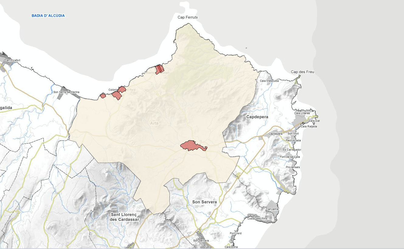
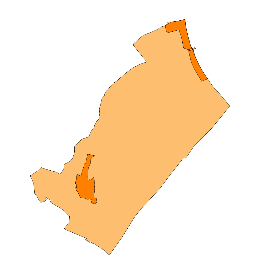
Set of data that contains the cartography of the Catalog of Roads of the municipality of Artà of the year 2003 elaborated by the Consell de Mallorca, Department of Environment for Ajuntament of Artà. Scale 1: 5,000. The reference system: ED50. Projection system: UTM spindle 31. Storage format: DGN and Postgis
-
General network of sewer and distribution according to the Muro's PGOU Review of 2003. This map includes the main elements that intervene in the general sewer system and potable water network. Map scale 1: 25,000. Original format dwg i pdf. Original map reference system in ED50 (European Datum), axle 31.