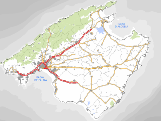
 Catàleg local de Mallorca
Buildings
Type of resources
Available actions
Municipios
INSPIRE themes
Keywords
Contact for the resource
Provided by
Years
Formats
Representation types
Service types
Scale
-
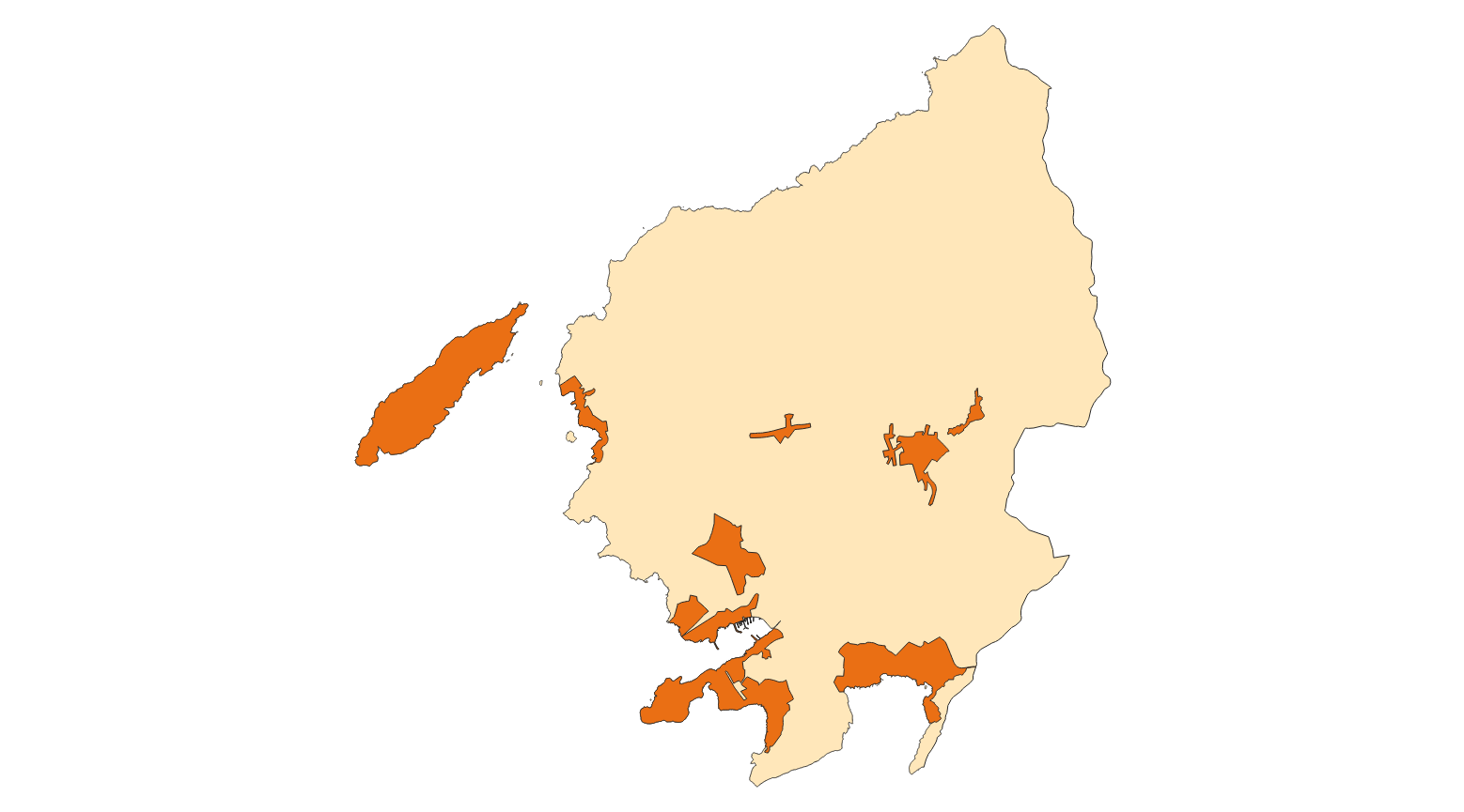
Data set that makes up the points of interest of the municipalities of Mallorca, except Palma. The data corresponds to the year 2025. The sources of the data set are the information provided by the town councils and the Survey of Infrastructures and Local Facilities (EIEL) for the cases of public facilities. Scale: 1:1,000. Reference system: ETRS89, zone 31 (EPSG: 25831)
-
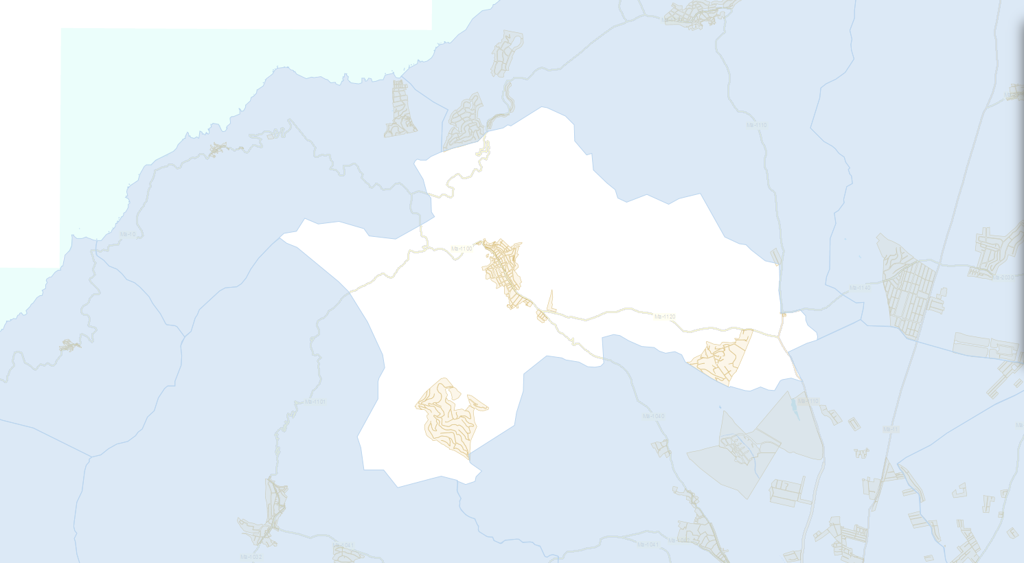
Data set containing buildings for residential use on rural land in the municipality of Esporles. The cartography was extracted from a 2001 Esporles municipal information layer. The Buildings layer is a polygon layer and contains the buildings on rural land that follow the INSPIRE data model. Scale 1: 5,000. The reference system: ETRS89. Projection system: UTM zone 31. Storage format: PostgreSQL.
-
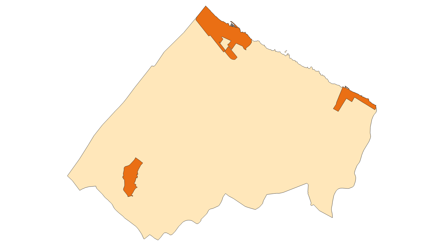
Data set containing buildings on urban land from the Heritage Catalog in the municipality of Santa Margalida. The cartography was extracted from a 2016 Santa Margalida municipal information layer. The Buildings layer is a polygon layer and contains the buildings on urban land that follow the INSPIRE data model. Scale 1: 5,000. The reference system: ETRS89. Projection system: UTM zone 31. Storage format: PostgreSQL.
-
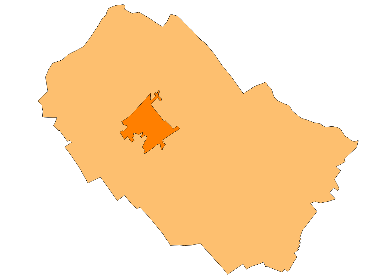
Data set that contains the equipment of the Subsidiary Rules of the municipality of Binissalem of 2008 and buildings listed in the Heritage Catalog containing the 2008 Subsidiary Rules. The reference system: ETRS89. Projection system: UTM spindle 31. Storage format: PostgreSQL.
-
Data set containing buildings on rural and urban land in the municipality of Andratx. The cartography was extracted from municipal regulations of 2007 of Andratx. The Buildings layer is a polygon layer and contains the buildings on rural land that follow the INSPIRE data model. Scale 1: 5,000. The reference system: ETRS89. Projection system: UTM zone 31. Storage format: PostgreSQL.
-
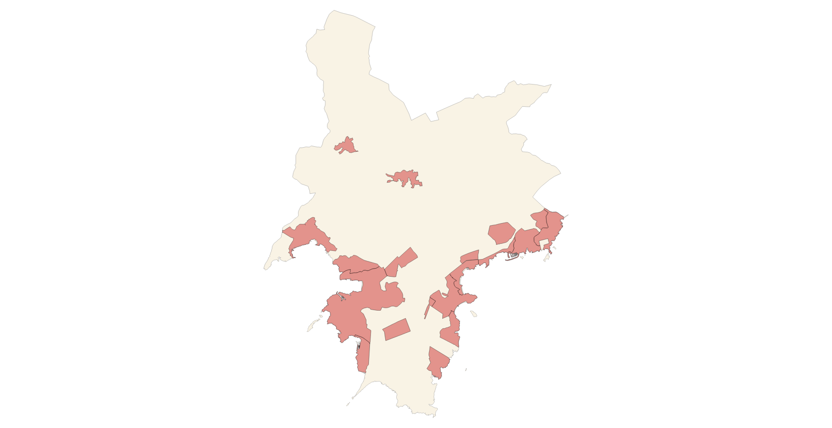
Data set that contains the religious, civil and military buildings of the municipality of Calvià. The cartography was extracted from the 2009 Catalog of Heritage Assets. The Buildings layer is a polygon layer and contains the buildings on rural land that follow the INSPIRE data model. Scale 1: 5,000. The reference system: ETRS89. Projection system: UTM zone 31. Storage format: PostgreSQL.
-
Dataset containing public facilities and heritage buildings in Alaro. The cartography was extracted from a 2003 Alaro municipal information layer. The Buildings layer is a polygon layer and contains the buildings on rural land that follow the INSPIRE data model. Scale 1: 5,000. The reference system: ETRS89. Projection system: UTM zone 31. Storage format: PostgreSQL.
-
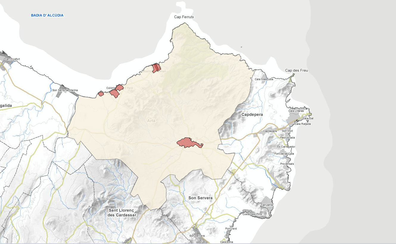
Data set containing buildings for residential use on rural land in the municipality of Artà. The cartography was extracted from a 2015 Artà municipal information layer. The Buildings layer is a layer of polygons and contains the facilities and buildings from the Artà heritage catalog that follow the INSPIRE data model. Scale 1: 5,000. The reference system: ETRS89. Projection system: UTM zone 31. Storage format: PostgreSQL.
-
Buildings of the town of Fornalutx according to the specifications of the European INSPIRE Directive
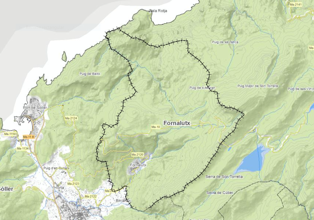
Set of data that counted the cataloged buildings of the municipality of Fornalutx. The cartography was extracted from a 2006 Fornalutx municipal information layer. The Buildings layer is a polygon layer and contains the buildings on rustic and urban land that follow the INSPIRE data model. Scale 1: 5,000. The reference system: ETRS89. Projection system: UTM zone 31. Storage format: PostgreSQL.
-
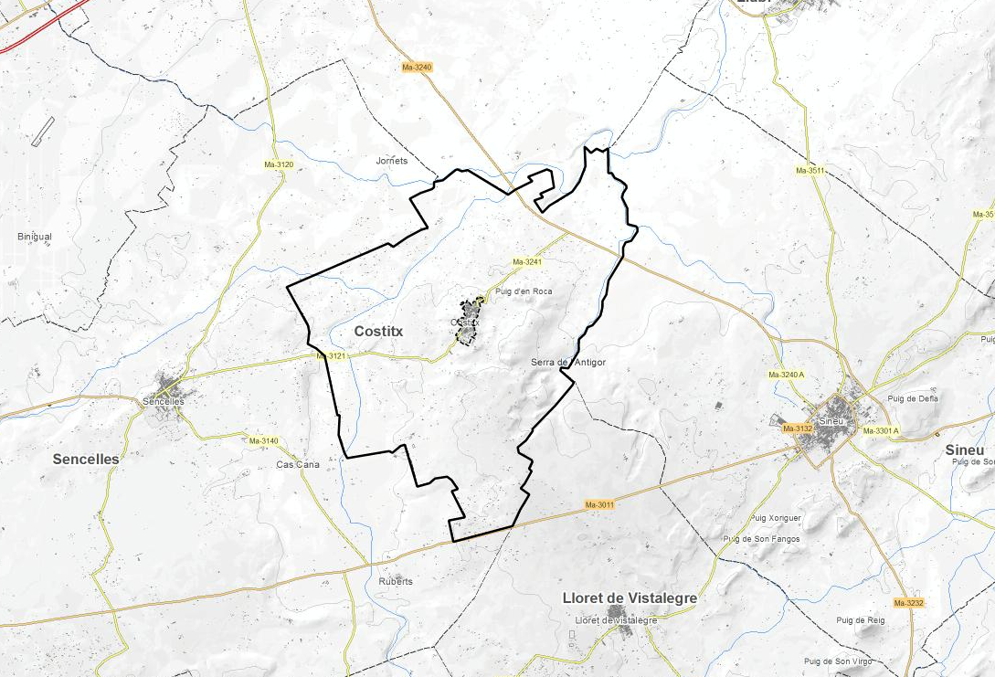
Data set containing buildings for residential use on rural land in the municipality of Costitx. The cartography was extracted from a 2016 Costitx municipal information layer. The Buildings layer is a polygon layer and contains the buildings on rural land that follow the INSPIRE data model. Scale 1: 5,000. The reference system: ETRS89. Projection system: UTM zone 31. Storage format: PostgreSQL.