 Catàleg local de Mallorca
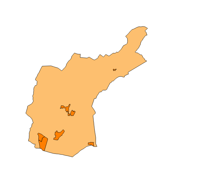
Ajuntament de Bunyola
Type of resources
Available actions
Municipios
INSPIRE themes
Keywords
Contact for the resource
Provided by
Years
Formats
Representation types
Service types
Scale
-
Web Map Service that allows access to the dataset of the names of Protected Sites, Administraive units and Transport networks. The service contains a single layer with the texts of the INSPIRE's themes of Bunyola. You can also check the characteristics of the texts. The associated style of layers is defined by the INSPIRE specifications. Access to this service is free provided that Bunyola Town Hall appears as the owner of the data and Consell de Mallorca as the owner of the service.
-
Web Map Service that allows access to the cartography of the addresses of the municipality of Bunyola. Cartography extracted from the Cartociudad project. The service contains the general layer called AD.Addresses.010 contains the addresses of the urban centers of Bunyola and a few kilometers from the rustic area of the municipality. The symbolism associated with layers is defined by the INSPIRE specifications. Access to this service is free provided that Bunyola Town Hall appears as the owner of the data and Consell de Mallorca as the owner of the service. Scale 1: 2,000.
-
Web Map Service according to the INSPIRE profile of ISO19128 WMS 1.3.0 that allows access to the cartography that represents the transport infrastructure network of Bunyola, Mallorca, Balearic Islands Spain. The scale of representation is 1: 5000. Geographic information belonging to the Inspire annex is shown: 1) Transport networks. The layers of information are in accordance with the INSPIRE Directive 2007/2 / EC (name, title and style Inspire by default). The access or connection to this service, to obtain the functionalities is free in any case.
-
Web Map Service that allows you to visualize the cartography of the Emergency Plan of Sa Comuna in the municipality of Bunyola. The service contains several layers of diverse topics that will allow you to know the risks and establish protocols of protection. These layers are structured in different aspects of the Plan: description of the territory, risks, measures, operation and means. Scale 1: 5,000. Coordinate system: ETRS89. Access to this service is free provided that the City of Bunyola appears as the owner of the data and Consell de Mallorca as the owner of the service.
-
Dataset of the polideportivo project of the municipality of Bunyola of the year 2004. It contains the cartography of each zone of the polideportivo and the corresponding label. Project promoter: Bunyola Town Hall. Scale 1: 5,000. The coordinate system: ETRS89, axle 31 (EPSG: 25831).
-
ATOM download service that allows access to the cartography of addresses, transport infrastructure network, administrative units and geographical names of the municipality of Bunyola. The service complies with the INSPIRE download services technical guide (version 3.1) and uses OpenSearch technology to query the available data sets. The phenomena are served according to the original data model of each project. Access to this service is free provided that Bunyola Town Hall appears as the owner of the data and Consell de Mallorca as the owner of the service. Scale 1: 2,000.
-
Dataset of the subject of Annex I of INSPIRE: Administrative units of the municipality of Bunyola created in 2015. The municipality of Bunyola is composed of a smaller entity: Palmanyola, therefore, the dataset complies with the requirements of the subject of INSPIRE. Scale 1: 5,000. The coordinate system: ETRS89, axle 31 (EPSG: 25831).
-
Datset of the toponymy of the town of Bunyola. The names refer to the topics of the INSPIRE Directive Protected Places, Administrative units and Transport network of Annex I of the INSPIRE Directive. Cartography generated in 2015. The names of the urban elements are on a scale of 1: 2,000 and the names of the elements of rustic, on a scale of 1: 5,000. Reference system: ETRS89. Projection system: UTM fus 31. Storage format: PostgreSQL.
-
Web Map Service that allows to visualize the dataset of the administrative units of Bunyola. The service contains a single layer of lines with the limits of Palmanyola (Local Entity Smaller of Bunyola) called Administrative Limit, and another layer of polygons with the extension of the same called Administrative Unit. The symbolism associated with layers is defined by the INSPIRE specifications. Scale: 1: 5,000. Coordinate system: ETRS89. Access to this service is free provided that the City of Bunyola appears as the owner of the data and Consell de Mallorca as the owner of the service.
-
Web Map Service that allows you to view the Catalog of public roads of the municipality of Bunyola in 2009. Mapping elaborated by the Consell de Mallorca, Department of the Environment. Scale 1: 5,000. Coordinate system: ETRS89. Access to this service is free provided that the City of Bunyola appears as the owner of the data and Consell de Mallorca as the owner of the service.