 Catàleg local de Mallorca
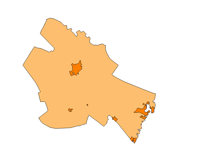
Ajuntament de Felanitx
Type of resources
Available actions
Municipios
INSPIRE themes
Keywords
Contact for the resource
Provided by
Years
Formats
Representation types
Service types
Scale
-
Web Map Service that allows access to the cartography of the names Protected Sites, Land Use, Utility services, Addresses and Transport networks. You can also check the characteristics of the texts. The associated style of layers is defined by the INSPIRE specifications. Access to this service is free provided that Felanitx Town Hall appears as the owner of the data and Consell de Mallorca as the owner of the service.
-
Web map service that allows access to the cartography of delimitation of urban land of Felanitx. The information is in ETRS-89 UTM-31N, although the original information is in ED50 (European Datum 1950). The scale of the layers that make up the wms service is 1: 2.000. The original information from which wms was created is in dgn format. WMS service created and published in 2017 by Consell de Mallorca.
-
Web Map Service that allows access to the Cartography of Land Use. The service consists of three layers: Spatial plan, Zoning elements and Supplemental regulation. The data model and the symbology follow the specifications of the European INSPIRE Directive. Access to this service is free provided that the City of Sant Joan appears as the owner of the data and Consell de Mallorca as the owner of the service.
-
Web map service that allows access to the cartography of the municipal layers of Felanitx: turns, inventory of roads from 2015 and numbering of houses on rustic land. The information is in ETRS-89 UTM-31N, although the original information is in ED50 (European Datum 1950). The scale of the layers that make up the wms service is 1: 5000. The original information from which wms was created is in dgn format. WMS service created and published in 2017 by Consell de Mallorca.
-
ATOM download service that allows access to the cartography of addresses, transport infrastructure network, land use, protected sites, buildings, management areas and geographical names of the municipality of Felanitx. The service complies with the INSPIRE download services technical guide (version 3.1) and uses OpenSearch technology to query the available data sets. The phenomena are served according to the original data model of each project. Access to this service is free provided that Felanitx Town Hall appears as the owner of the data and Consell de Mallorca as the owner of the service. Scale 1: 2,000.
-

Data set containing the management areas of the municipality of Felanitx. The cartography was extracted from the modification of the PGOU in Felanitx on rustic land in 2002. The AM.ForestManagementArea layer is a polygon layer and contains managed, restricted, or regulated forest areas that follow the INSPIRE data model. Scale 1: 5,000. The reference system: ETRS89. Projection system: UTM zone 31. Storage format: PostgreSQL.
-
Web Map Service that allows you to access maps of the elements of sites protected by municipal regulations. The service contains the general layer called Protected. Sites where there are all protected elements. The symbolism associated with layers is defined by the INSPIRE specifications. Access to this service is free provided that the Council of Felanitx appears as the owner of the data and Consell de Mallorca as the owner of the service. The protected areas of the urban zones are at 1: 1,000 scale and the elements of rustic areas are at 1: 5,000 scale.
-
Web Map Service that allows access to the cartography of the buildings of the municipality of Felanitx. Cartography extracted from a layer produced by the municipality of Felanitx. The service contains the general layer BU.Buildings contains the buildings of Felanitx. The symbology associated with the layers is defined by the INSPIRE specifications. Access to this service is free as long as the Felanitx City Council appears as the owner of the data and the Consell de Mallorca as the owner of the service. Scale 1: 5,000.
-
Web Map Service according to the INSPIRE profile of ISO19128 WMS 1.3.0 that allows access to the cartography that represents the transport infrastructure network of Felanitx, Mallorca, Balearic Islands Spain. The scale of representation is 1: 5000. Geographic information belonging to the Inspire annex I Transport networks. The layers of information are in accordance with the INSPIRE Directive 2007/2 / EC. The access or connection to this service, to obtain the functionalities is free in any case.
-
Web Map Service that allows access to the cartography of the addresses of the municipality of Felanitx. Cartography extracted from the Cartociudad project. The service contains the general layer called AD.Addresses.022 contains the addresses of the urban centers of Felanitx and a few kilometers point from the rustic area of the municipality. The symbolism associated with layers is defined by the INSPIRE specifications. Access to this service is free provided that Felanitx Town Hall appears as the owner of the data and Consell de Mallorca as the owner of the service. Scale 1: 2,000.