 Catàleg local de Mallorca
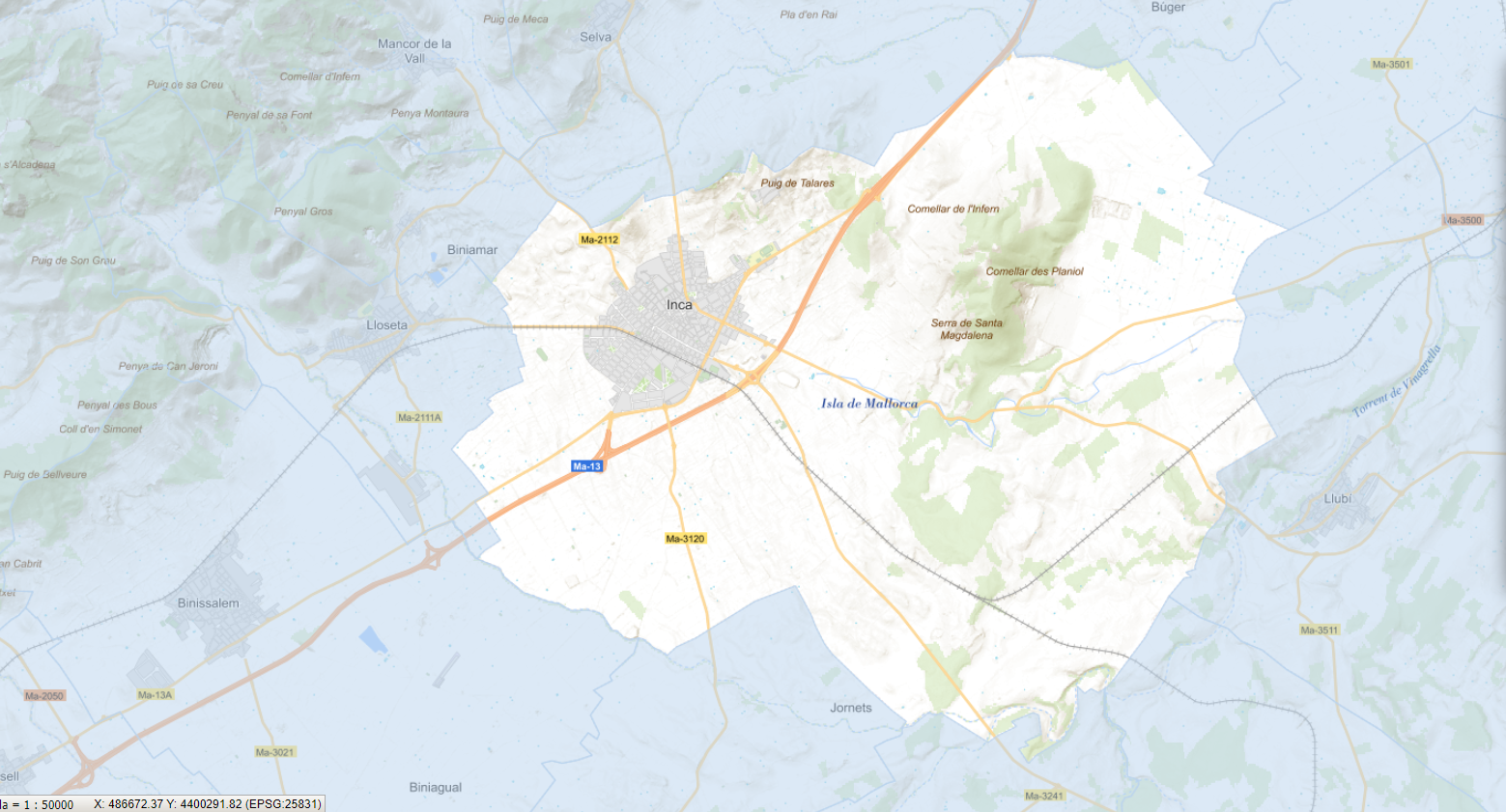
inca
Type of resources
Available actions
Municipios
INSPIRE themes
Keywords
Contact for the resource
Provided by
Years
Formats
Representation types
Scale
-
Dataset containing the plant species of the urban center of Inca. The cartography was taken from the Urban Tree Management Plan of the municipality of Inca, approved on October 14, 2023. The SD.SpeciesDistribution layer is a point layer and contains the trees and their attributes that follow the INSPIRE data model. Scale 1:2,000. The reference system: ETRS89. Projection system: UTM spindle 31. Storage format: PostgreSQL.
-
Data set that contains the trees of the urban center of the municipality of Inca, the result of the Urban Tree Management Plan of the municipality approved and published on 2023/10/14. Scale 1:1,000. The reference system: ETRS89. Projection system: UTM zone 31. Storage format: SHP and Geopackage
-
Cartography of the network of roads, roads and streets of the municipality of Inca. It refers to the topic Transportation Networks in Annex I of the INSPIRE Directive. Mapping generated in 2019. The sources are the streets and paths of the Cartociudad's project, wich are update with the staff's knowlege of the council. Scale 1: 2,000 the streets and scale 1: 5,000 the roads and roads. Reference system: ETRS89. Projection system: UTM fus 31. Storage format: PostgreSQL.
-
Cartography of the toponymy of the municipality of Inca. The names refer to the topics of the INSPIRE Transport Directive in Annex I of the INSPIRE Directive . Cartography generated in 2021. The sources are the Cartociudad project, version 2012, for the names of Transport, and the Urban Rules of 2002 and the Country Rules of 2003 for the names of Land Use and Protected Sites. The names of the urban elements are at scale 1: 2,000 and the names of the rustic elements, at a scale of 1: 5,000. Reference system: ETRS89. Projection system: UTM fus 31. Storage format: PostgreSQL.