 Catàleg local de Mallorca
2025
Type of resources
Available actions
Municipios
INSPIRE themes
Keywords
Contact for the resource
Provided by
Years
Formats
Representation types
Service types
Scale
-
Web Map Service that allows access to the cartography of the Utility And Governmental Services of Ariany. You can also check the characteristics of the layers. The associated style of layers is defined by the INSPIRE specifications. Access to this service is free provided that Ariany Town Hall appears as the owner of the data and Consell de Mallorca as the owner of the service.
-
Web Map Service that allows access to the cartography of the Utility And Governmental Services of Montuïri. You can also check the characteristics of the layers. The associated style of layers is defined by the INSPIRE specifications. Access to this service is free provided that Montuïri Town Hall appears as the owner of the data and Consell de Mallorca as the owner of the service.
-
Web Map Service that allows access to the cartography of the Utility And Governmental Services of Santanyí. You can also check the characteristics of the layers. The associated style of layers is defined by the INSPIRE specifications. Access to this service is free provided that Santanyí Town Hall appears as the owner of the data and Consell de Mallorca as the owner of the service.
-
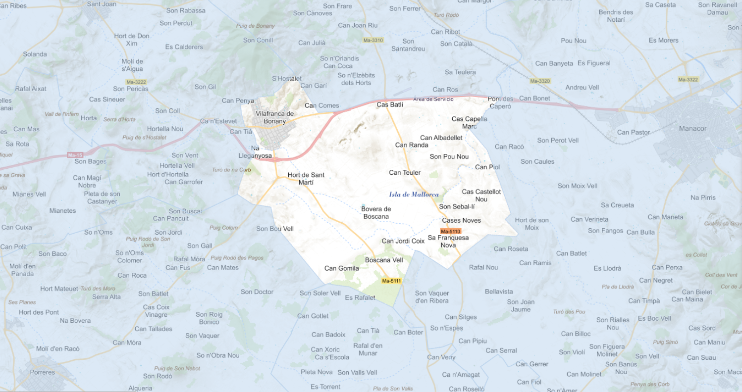
Web Map Service that allows access to the cartography of the Utility And Governmental Services of Vilafranca de Bonany. You can also check the characteristics of the layers. The associated style of layers is defined by the INSPIRE specifications. Access to this service is free provided that Vilafranca de Bonany Town Hall appears as the owner of the data and Consell de Mallorca as the owner of the service.
-
Web Map Service that allows access to the cartography of the Utility And Governmental Services of Porreres. You can also check the characteristics of the layers. The associated style of layers is defined by the INSPIRE specifications. Access to this service is free provided that Porreres Town Hall appears as the owner of the data and Consell de Mallorca as the owner of the service.
-
Web map service that allows access to the cartography of the Catalog of roads in the municipality of Sóller in 2014 which includes the ownership, status and typological aspects of the roads. The symbolism associated with the layers is defined by the Sóller City Council. Access to this service is free as long as Sóller City Council appears as the owner of the data and Consell de Mallorca as the owner of the service.
-
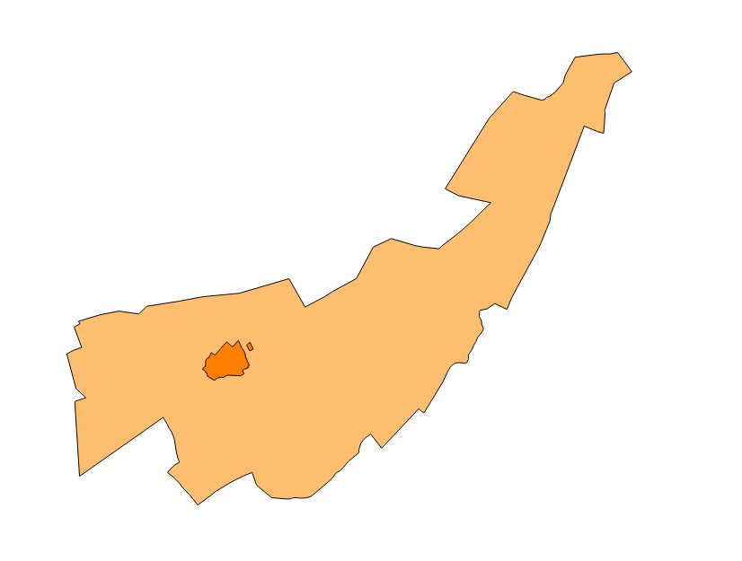
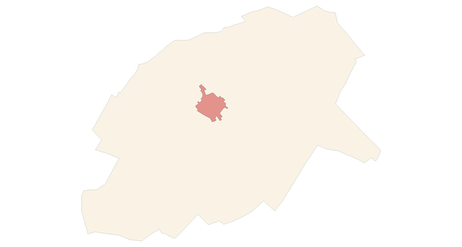
Cartography of the Utility And Governmental Services of the municipality of Lloret de Vistalegre. Reference system: ETRS89. Projection system: UTM fus 31. Storage format: PostgreSQL
-
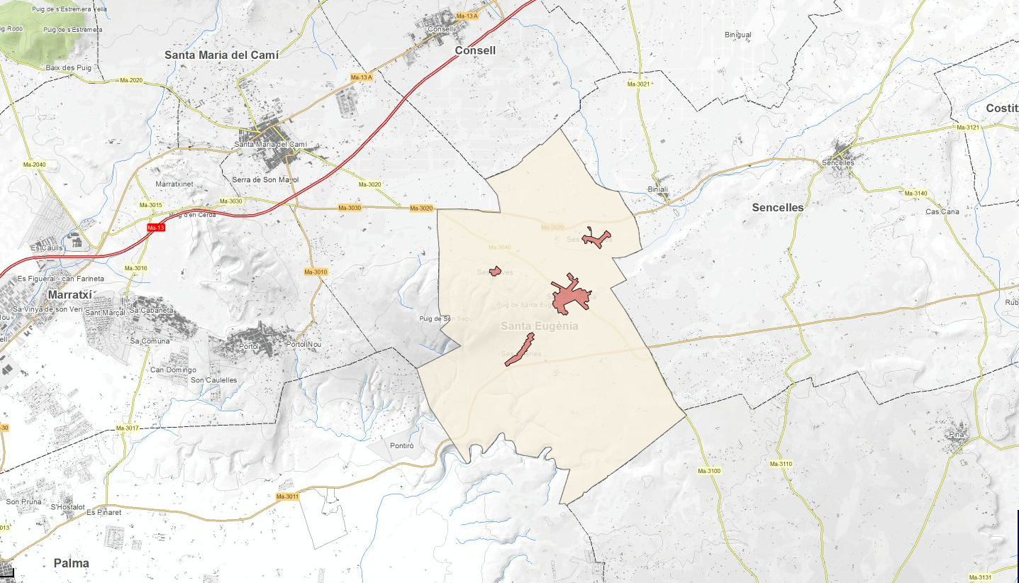
Web map service that allows access to the cartography of the Catalog of roads in the municipality of Santa Eugènia in 1999 which includes the ownership, status and typological aspects of the roads. The symbolism associated with the layers is defined by the Santa Eugènia City Council. Access to this service is free as long as Santa Eugènia City Council appears as the owner of the data and Consell de Mallorca as the owner of the service.
-
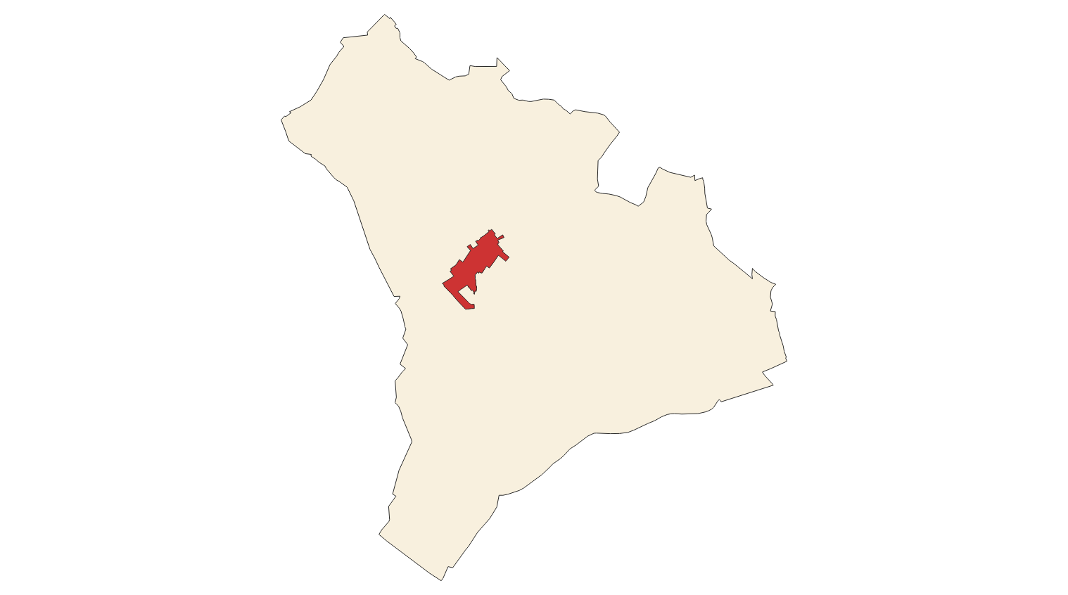
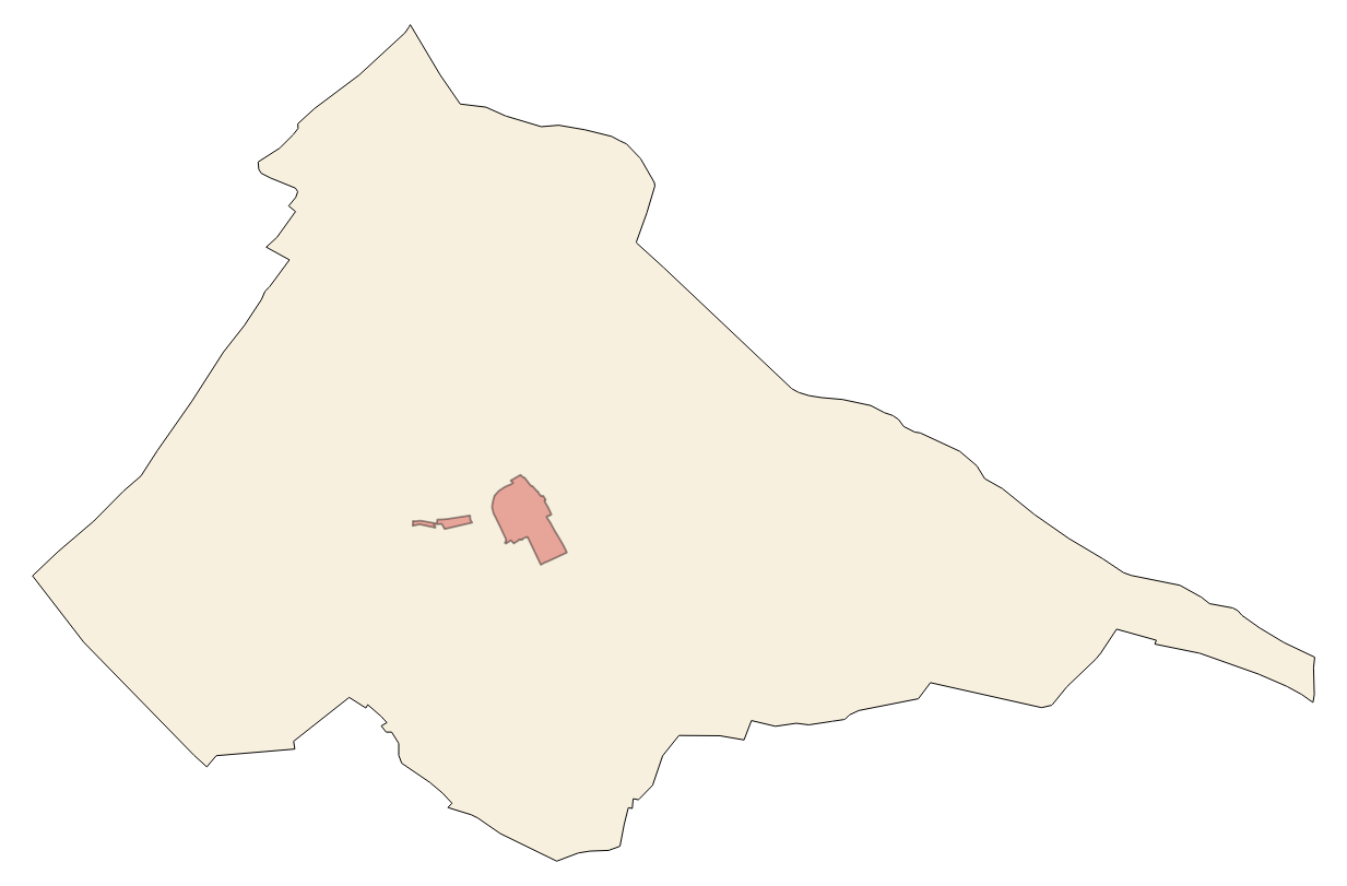
Cartography of the Utility And Governmental Services of the municipality of Vilafranca de Bonany. Reference system: ETRS89. Projection system: UTM fus 31. Storage format: PostgreSQL
-
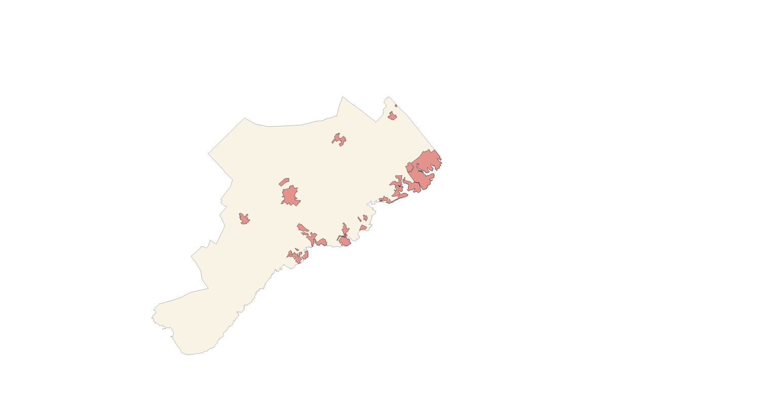
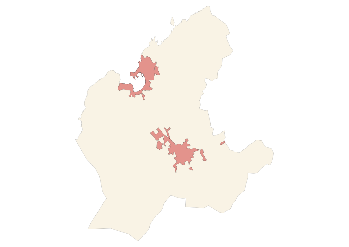
Cartography of the Utility And Governmental Services of the municipality of Santanyí. Reference system: ETRS89. Projection system: UTM fus 31. Storage format: PostgreSQL