 Catàleg local de Mallorca
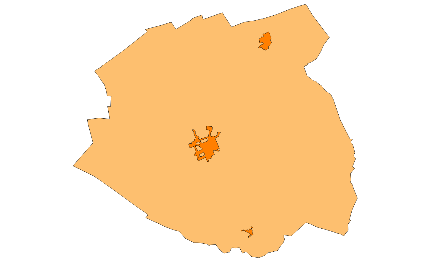
Ajuntament d'Algaida
Type of resources
Available actions
Municipios
INSPIRE themes
Keywords
Contact for the resource
Provided by
Years
Formats
Representation types
Service types
Scale
-
Web Map Service that allows access to the cartography of the addresses of the municipality of Algaida. Cartography extracted from the Cartociudad project. The service contains the general layer called AD.Addresses.004 contains the addresses of the urban center of Algaida and a few kilometers of the rustic area of the municipality. The symbolism associated with layers is defined by the INSPIRE specifications. Access to this service is free provided that Algaida Town Hall appears as the owner of the data and Consell de Mallorca as the owner of the service. Scale 1: 2,000.
-
Web Map Service that allows access to the Cartography of Land Use. The service consists of three layers: Spatial plan, Zoning elements and Supplemental regulation. The data model and the symbology follow the specifications of the European INSPIRE Directive. Access to this service is free provided that the City of Algaida appears as the owner of the data and TIC Mallorca as the owner of the service.
-

Web Map Service that allows access to the cartography of the buildings of the municipality of Algaida. Cartography extracted from a layer produced by the municipality of Algaida. The service contains the general layer BU.Buildings contains the buildings of Algaida. The symbology associated with the layers is defined by the INSPIRE specifications. Access to this service is free as long as the Algaida City Council appears as the owner of the data and the Consell de Mallorca as the owner of the service. Scale 1: 5,000.
-
Cartography of the network of roads, roads and streets of the municipality of Algaida. It refers to the topic Transportation Networks in Annex I of the INSPIRE Directive. Mapping generated in 2016. The sources are the Catalog of roads of 1998, prepared by the Consell de Mallorca in DGN format, and the streets of the Cadastre. Scale 1: 2,000 the streets and scale 1: 5,000 the roads and roads. Reference system: ETRS89. Projection system: UTM fus 31. Storage format: PostgreSQL.
-
ATOM download service that allows access to the cartography of addresses, transport infrastructure network, land use, protected sites, management areas, buildings and geographical names of the municipality of Algaida. The service complies with the INSPIRE download services technical guide (version 3.1) and uses OpenSearch technology to query the available data sets. The phenomena are served according to the original data model of each project. Access to this service is free provided that Algaida Town Hall appears as the owner of the data and Consell de Mallorca as the owner of the service. Scale 1: 2,000.
-
Data set containing the addresses of the urban center of Algaida and a few kilometers from the rustic area of the municipality. Cartography was extracted from the Cartociudad project of 2012, a state project that collects all spatial information related to directions and roads. The AD.Addresses layer is a layer of points and contains the addresses or portal numbers and various attributes that follow the Cartociudad data model and INSPIRE. Scale 1: 2,000. The reference system: ETRS89. Projection system: UTM fus 31. Storage format: PostgreSQL.
-
Web map service that allows access to the cartography of the Catalog of roads in the municipality of Algaida in 2006 which includes the ownership, status and typological aspects of the roads. The symbolism associated with the layers is defined by the Algaida City Council. Access to this service is free as long as Algaida City Council appears as the owner of the data and Consell de Mallorca as the owner of the service.
-
Cartography of the Utility And Governmental Services of the municipality of Algaida. Reference system: ETRS89. Projection system: UTM fus 31. Storage format: PostgreSQL
-
Web Map Service that allows access to the cartography of the names of Land Use, Protected Sites and Transport. The service contains a single layer with the texts extracted from the layers of Land Use, Protected Sites and Transport. You can also check the characteristics of the texts. The symbolism associated with layers is defined by the INSPIRE specifications. Access to this service is free provided that the City of Algaida appears as the owner of the data and Consell de Mallorca as the owner of the service.
-
Map Service that allows the visualization of the cartography of the Subsidiary Rules of the urban land of the town of Algaida of the year 2005. The service contains all the layers that make up the Subsidiary Rules: alignment, units of action, protected elements , qualification of urban areas, general systems and the limit of urban land. Access to this service is free provided that the Town of Algaida appears as the owner of the data and Consell de Mallorca as the owner of the service.