 Catàleg local de Mallorca
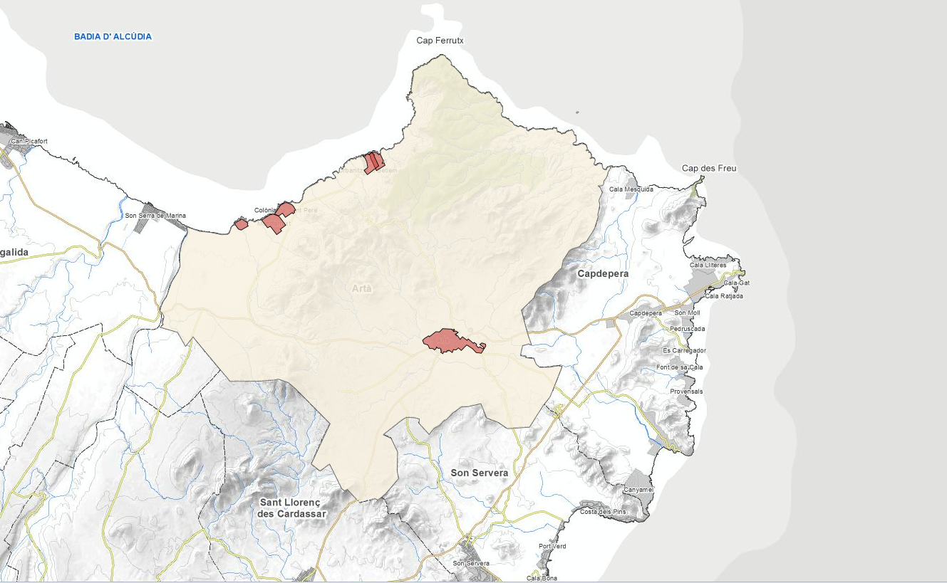
Ajuntament d'Artà
Type of resources
Available actions
Municipios
INSPIRE themes
Keywords
Contact for the resource
Provided by
Years
Formats
Representation types
Service types
Scale
-
Web Map Service that allows access to the cartography of the Subsidiary Regulations for rustic land in the municipality of Artà of the Recast text of the year 2015. The service contains all the layers that make up the Subsidiary Standards: sites, cataloged elements, APT, Natural Park, torrents, quarries, railway system, nature reserve, SCI and Zepa, rustic qualification and equipment among others. The symbolism associated with the layers is defined by the Artà City Council following the existing symbolism in the sealed pdf maps that are the official ones and that can be found at http://www.arta.cat. Access to this service is free as long as Artà City Council appears as the owner of the data and Consell de Mallorca as the owner of the service.
-
Web Map Service according to the INSPIRE profile of ISO19128 WMS 1.3.0 that allows access to the cartography that represents the transport infrastructure network of Artà, Mallorca, Balearic Islands Spain. The scale of representation is 1: 5000. Geographic information belonging to the Inspire annex is shown: 1) Transport networks. The layers of information are in accordance with the INSPIRE Directive 2007/2 / EC (name, title and style Inspire by default). The access or connection to this service, to obtain the functionalities is free in any case.
-
Web Map Service that allows you to access maps of the elements of sites protected by municipal regulations. The service contains the general layer called Protected. Sites where there are all protected elements, and also several layers according to the classification of protection, the Designation and the Designation Scheme. The symbolism associated with layers is defined by the INSPIRE specifications. Access to this service is free provided that the Council of Artà appears as the owner of the data and Consell de Mallorca as the owner of the service. The protected areas of the urban zones are at 1: 1,000 scale and the elements of rustic areas are at 1: 5,000 scale.
-
Map Web Service that allows access to the cartography of the current water and sewer network of the municipality of Artà. The service contains the following layers: distribution network, pipes, valves, hydrants, fountains, pumping station, tank, catchment, irrigation nozzles, sewerage network, collectors, sumps, sewage wells, manholes, storm wells, pumping wells, treatment plant, drainage and connection. The symbolism associated with the layers is defined by the City of Artà following the existing symbolism in the plans in pdf. Access to this service is free as long as Artà City Council appears as the owner of the data and Consell de Mallorca as the owner of the service.
-
Web Map Service that allows access to the cartography of the names Protected Sites, Land Use, Utility services, Addresses and Transport networks. You can also check the characteristics of the texts. The associated style of layers is defined by the INSPIRE specifications. Access to this service is free provided that Artà Town Hall appears as the owner of the data and Consell de Mallorca as the owner of the service.
-
Web Map Service that allows access to the cartography of the renovation of the distribution, sewerage and stream network of the nucleus of Artà in 2009. The service contains potable water, rainwater, manholes, sinks, meters, among other layers. The symbology associated with the layers is defined by the City Council of Artà following the existing symbology in the pdf plans. Access to this service is free as long as the City of Artà appears as the owner of the data and Consell de Mallorca as the owner of the service.
-
ATOM download service that allows access to the cartography of addresses, transport infrastructure network, land use, protected sites and geographical names of the municipality of Artà. The service complies with the INSPIRE download services technical guide (version 3.1) and uses OpenSearch technology to query the available data sets. The phenomena are served according to the original data model of each project. Access to this service is free provided that Artà Town Hall appears as the owner of the data and Consell de Mallorca as the owner of the service. Scale 1: 2,000.
-

Web Map Service that allows access to the cartography of the managed areas of the municipality of Artà. Cartography extracted from the current urban regulations of Artà. The service contains the layer ForestAreaManagement and the layer ProspectingAndMiningArea contains the managed areas, with restrictions or some regulation, of Artà. The symbology associated with the layers is defined by the INSPIRE specifications. Access to this service is free as long as the Artà City Council appears as the owner of the data and the Consell de Mallorca as the owner of the service. Scale 1: 5,000.
-
Web Map Service that allows access to the cartography of the addresses of the municipality of Artà. Cartography extracted from the Cartociudad project. The service contains the general layer called AD.Addresses.006 contains the addresses of the urban center of Artà and a few kilometers from the rustic area of the municipality. The symbolism associated with layers is defined by the INSPIRE specifications. Access to this service is free provided that Artà Town Hall appears as the owner of the data and TIC Mallorca as the owner of the service. Scale 1: 2,000.
-
Web Map Service that allows access to the Cartography of Land Use. The service consists of three layers: Spatial plan, Zoning elements and Supplemental regulation. The data model and the symbology follow the specifications of the European INSPIRE Directive. Access to this service is free provided that the City of Artà appears as the owner of the data and Consell de Mallorca as the owner of the service.