 Catàleg local de Mallorca
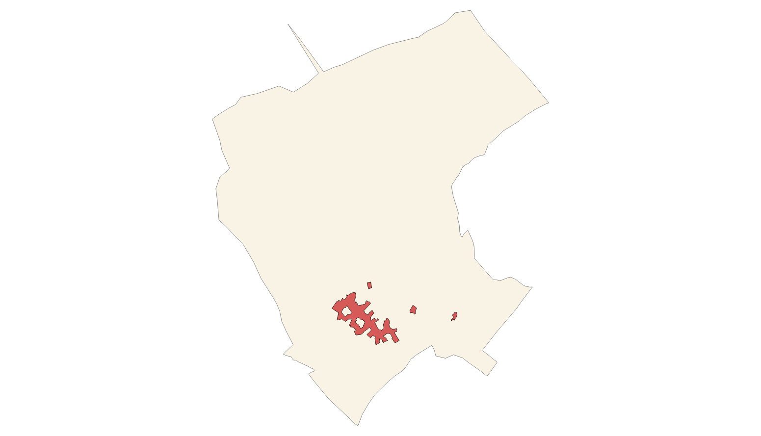
Ajuntament de Campanet
Type of resources
Available actions
Municipios
INSPIRE themes
Keywords
Contact for the resource
Provided by
Years
Formats
Representation types
Service types
Scale
-
Web Map Service according to the INSPIRE profile of ISO19128 WMS 1.3.0 that allows access to the cartography that represents the transport infrastructure network of Campanet, Mallorca, Balearic Islands Spain. The scale of representation is 1: 5000. Geographic information belonging to the Inspire annex I is shown Transport networks. The layers of information are in accordance with the INSPIRE Directive 2007/2 / EC (name, title and style Inspire by default). The access or connection to this service, to obtain the functionalities is free in any case.
-

Web map service that allows access to the cartography of the Catalog of roads in the municipality of Campanet in 2004 which includes the ownership, status and typological aspects of the roads. The symbolism associated with the layers is defined by the Campanet City Council. Access to this service is free as long as Campanet City Council appears as the owner of the data and Consell de Mallorca as the owner of the service.
-
Data set that contains the Catalog of roads in the municipality of Campanet that includes the ownership, status and typological aspects of the roads. Scale 1: 5,000. The reference system: ETRS89. Projection system: UTM spindle 31. Storage format: GeopPackage and Postgis.
-
Web Map Service that allows access to the cartography of the names Land Use, Protected Sites and Transport networks. You can also check the characteristics of the texts. The associated style of layers is defined by the INSPIRE specifications. Access to this service is free provided that Campanet Town Hall appears as the owner of the data and Consell de Mallorca as the owner of the service.
-
Web Map Service that allows access to the Cartography of Land Use. The service consists of three layers: Spatial plan, Zoning elements and Supplemental regulation. The data model and the symbology follow the specifications of the European INSPIRE Directive. Access to this service is free provided that the City of Campanet appears as the owner of the data and Consell de Mallorca as the owner of the service.
-
Web Map Service that allows access to the cartography of the addresses of the municipality of Campanet. Cartography extracted from the Cartociudad project. The service contains the general layer called AD.Addresses.012 contains the addresses of the urban center of Campanet and Ullaró and a few kilometers from the rustic area of the municipality. The symbolism associated with layers is defined by the INSPIRE specifications. Access to this service is free provided that Campanet Town Hall appears as the owner of the data and Consell de Mallorca as the owner of the service. Scale 1: 2,000.
-
Web Map Service that allows access to the cartography of the managed areas of the municipality of Campanet. Cartography extracted from the Revision of Subsidiary Standards Regarding Rural Land of 2003. The service contains the general layer ForestAreaManagement contains the managed areas, with restrictions or some regulation, of Campanet. The symbology associated with the layers is defined by the INSPIRE specifications. Access to this service is free as long as the Campanet City Council appears as the owner of the data and the Consell de Mallorca as the owner of the service. Scale 1: 5,000.
-
Web Service of Maps that allows access to the cartography of the Subsidiary Rules of the rustic land of the municipality of Campanet of the year 2003. The service contains all the layers that make up the Subsidiary Rules: ARIP, ANEI, landscape farming, livestock farming, oak grove, forestry, traditional construcions. The associated symbology of the capes is defined by the Town Hall of Campanet following the symbology existing in the pdf plans that are official and that can be consulted at http://www.ajcampanet.net. Access to this service is free whenever the Town Hall of Campanet appears as owner of the data and Consell de Mallorca as the owner of the service.
-
Web Map Service that allows access to the cartography of the buildings of the municipality of Campanet. Cartography extracted from the layers of the protected elements in the 2012 heritage catalog of the municipality of Campanet. The service contains the general layer BU.Buildings contains the buildings of Campanet. The symbology associated with the layers is defined by the INSPIRE specifications. Access to this service is free as long as the Campanet City Council appears as the owner of the data and the Consell de Mallorca as the owner of the service. Scale 1: 5,000.
-
Web Service of Maps that allows access to the cartography of the Subsidiary Rules of the rustic land of the municipality of Campanet of the year 2002. The service contains all the layers that make up the Subsidiary Rules: urban land boundary and urban zoning. The associated symbology of the capes is defined by the Town Hall of Campanet following the symbology existing in the sealed pdf plans that are official and that can be consulted at http://www.ajcampanet.net. Access to this service is free whenever the Town Hall of Campanet appears as owner of the data and Consell de Mallorca as the owner of the service.