 Catàleg local de Mallorca
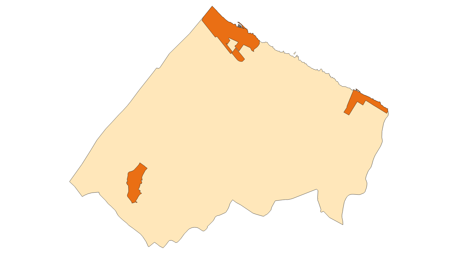
Ajuntament de Santa Margalida
Type of resources
Available actions
Municipios
INSPIRE themes
Keywords
Contact for the resource
Provided by
Years
Formats
Representation types
Service types
Scale
-
Web Map Service that allows access to the cartography of the Utility And Governmental Services of Santa Margalida. You can also check the characteristics of the layers. The associated style of layers is defined by the INSPIRE specifications. Access to this service is free provided that Santa Margalida Town Hall appears as the owner of the data and Consell de Mallorca as the owner of the service.
-

Web Map Service according to the INSPIRE profile of ISO19128 WMS 1.3.0 that allows access to the cartography that represents the transport infrastructure network of Santa Margalida, Mallorca, Balearic Islands Spain. The scale of representation is 1: 5000. Geographic information belonging to the Inspire annex I Transport networks. The layers of information are in accordance with the INSPIRE Directive 2007/2 / EC (name, title and style Inspire by default). The access or connection to this service, to obtain the functionalities is free in any case.
-
Web Map Service that allows access to the cartography of the names of Transport Network. The service contains a single layer with the texts extracted from the layer of Transport Network. You can also check the characteristics of the texts. The associated style of layers is defined by the INSPIRE specifications. Access to this service is free provided that Santa Margalida Town Hall appears as the owner of the data and Consell de Mallorca as the owner of the service.
-
Web map service that allows access to the cartography of the initial aproval of the Catalog of roads in the municipality of Santa Margalida in 2000 which includes the ownership, status and typological aspects of the roads. The symbolism associated with the layers is defined by the Santa Margalida City Council. On the town hall website www.ajsantamargalida.net you can access all the cartography and files associated with this catalogue. Access to this service is free as long as Santa Margalida City Council appears as the owner of the data and Consell de Mallorca as the owner of the service.
-
Web map service that allows access to the cartography of the project to reform and modernize the public lighting in the areas of Santa Margalida and Son Serra de Marina in 2023. The service contains all layers of existing lighting and lighting to be installed. Access to this service is free as long as Santa Margalida Town Hall appears as the owner of the data and Consell de Mallorca as the owner of the service.
-
Data set containing buildings on urban land from the Heritage Catalog in the municipality of Santa Margalida. The cartography was extracted from a 2016 Santa Margalida municipal information layer. The Buildings layer is a polygon layer and contains the buildings on urban land that follow the INSPIRE data model. Scale 1: 5,000. The reference system: ETRS89. Projection system: UTM zone 31. Storage format: PostgreSQL.
-
Data set that contains the cataloged elements in rustic and urban land of the town of Santa Margalida. Scale 1: 1,000 in urban, and 1:5,000 in rustic land. The reference system: ETRS89. Projection system: UTM spindle 31. Storage format: DGN i SHP.
-
Data set containing elements and areas protected by municipal legislation. The protection is provided by the Heritage Catalogue in 2016. The Protected layer. Sites recognize all protected elements (deposits, urban elements, rustic elements, natural areas, etc.). Urban elements are digitized at 1: 1,000 scale and rustic elements, at 1: 5,000 scale. The reference system: ETRS89. Projection system: UTM fus 31. Storage format: PostgreSQL.
-
Web Service of Maps that allows access to the cartography of the Heritage Catalog of the municipality of Santa Margalida of the year 2016. The service contains the elements cataloged in urban land, rural land, protection zones and archaeological sites. The associated symbology of the capes is defined by the Town Hall of Santa Margalida following the symbology existing in the sealed pdf plans that are official and that they can be consulted on the Transparency Portal of the city council's electronic headquarters at https://ajsantamargalida.sedelectronica.es. Access to this service is free whenever the Town Hall of Santa Margalida appears as owner of the data and Consell de Mallorca as the owner of the service.
-
Data set that contains the existing light points and those that have to be installed in the centers of Santa Margalida and Son Serra de Marina in the municipality of Santa Margalida. Scale 1: 1,000. The reference system: ETRS89. Projection system: UTM spindle 31. Storage format: Postgis.