 Catàleg local de Mallorca
WMS (Web Map Service)
Type of resources
Available actions
INSPIRE themes
Keywords
Contact for the resource
Provided by
Years
Service types
-
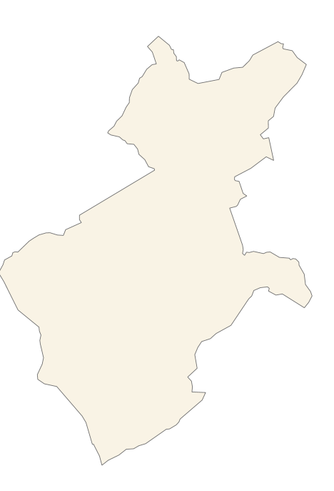
Web Map Service that allows you to access maps of the elements of sites protected by municipal regulations. The service contains the general layer called Protected. Sites where there are all protected elements, and also several layers according to the classification of protection, the Designation and the Designation Scheme. The symbolism associated with layers is defined by the INSPIRE specifications. Access to this service is free provided that the Council of Alaró appears as the owner of the data and Consell de Mallorca as the owner of the service. The protected areas of the urban zones are at 1: 1,000 scale and the elements of rustic areas are at 1: 5,000 scale.
-
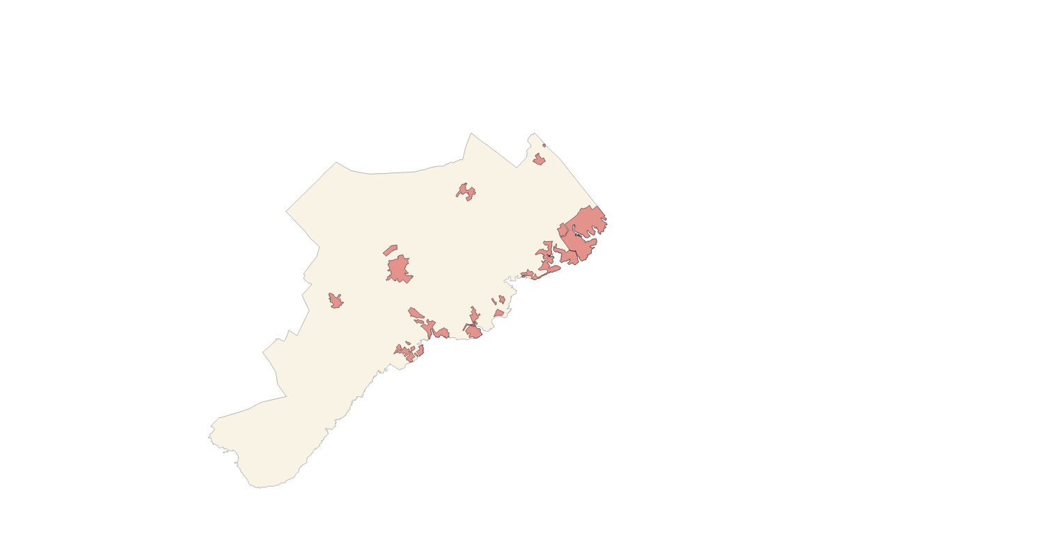
Web Map Service that allows access to the cartography of the names Land Use, Protected Sites and Transport networks. You can also check the characteristics of the texts. The associated style of layers is defined by the INSPIRE specifications. Access to this service is free provided that Santanyí Town Hall appears as the owner of the data and Consell de Mallorca as the owner of the service.
-
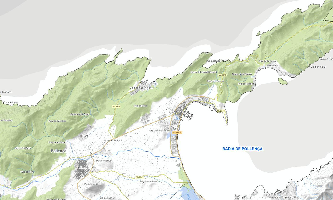
Web Map Service that allows access to the cartography of the species in the municipality of Pollença. Cartography generated by the Environment area of the Pollença City Council The service contains the general layer called SD.SpeciesDistribution contains the cat colonies of the municipality. The symbology associated with the layers is defined by the INSPIRE specifications. Access to this service is free as long as Pollença City Council appears as the owner of the data and Consell de Mallorca as the owner of the service. Scale 1: 2,000.
-
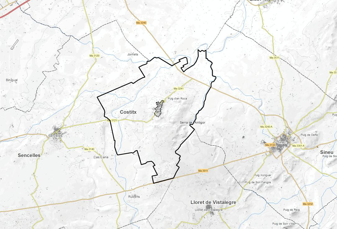
Web Map Service that allows access to the cartography of the Utility And Governmental Services of Costitx. You can also check the characteristics of the layers. The associated style of layers is defined by the INSPIRE specifications. Access to this service is free provided that Costitx Town Hall appears as the owner of the data and Consell de Mallorca as the owner of the service.
-
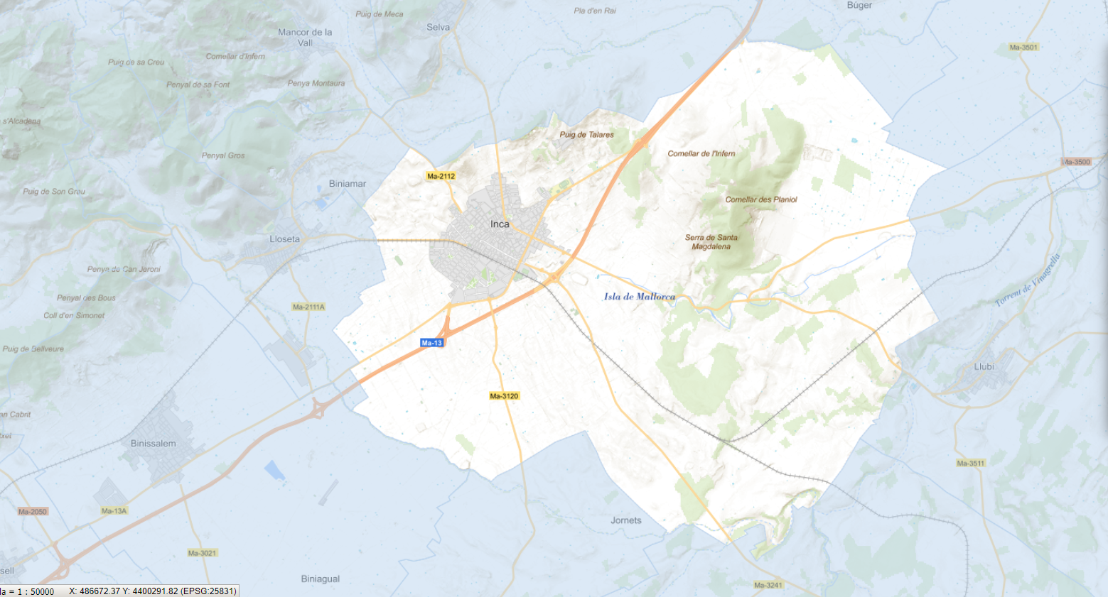
Web Map Service that allows access to the cartography of the species in the urban center of the municipality of Inca. Cartography extracted from the Tree Management Plan of the Urban Center of Inca. The service contains the general layer called SD.SpeciesDistribution contains the vegetable species of the urban center of Inca. The symbology associated with the layers is defined by the INSPIRE specifications. Access to this service is free as long as the Inca City Council appears as the owner of the data and the Consell de Mallorca as the owner of the service. Scale 1: 2,000.
-
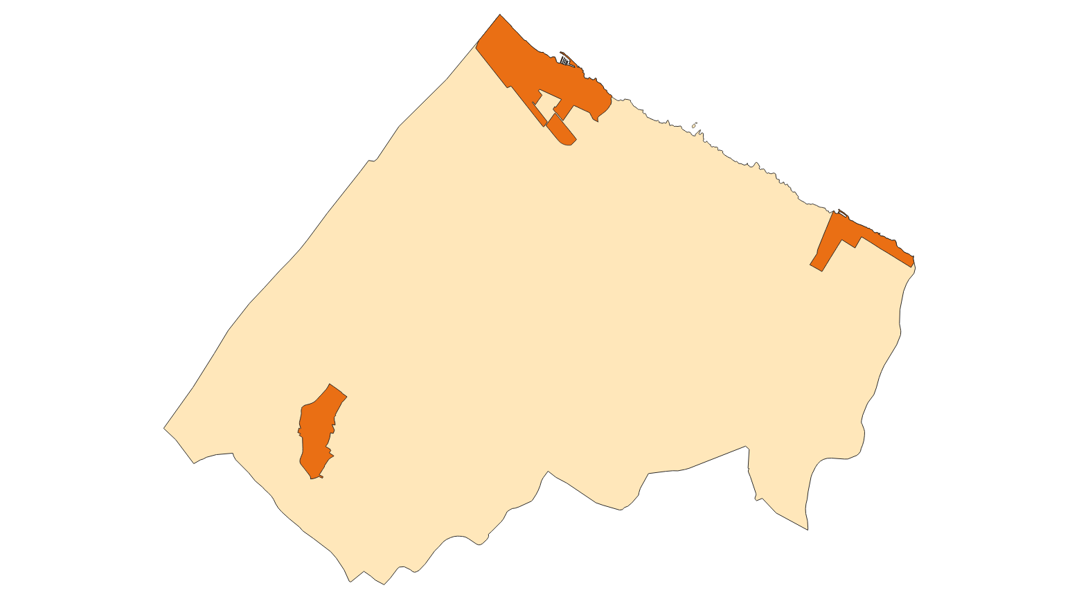
Web Map Service that allows access to the cartography of the Utility And Governmental Services of Santa Margalida. You can also check the characteristics of the layers. The associated style of layers is defined by the INSPIRE specifications. Access to this service is free provided that Santa Margalida Town Hall appears as the owner of the data and Consell de Mallorca as the owner of the service.
-
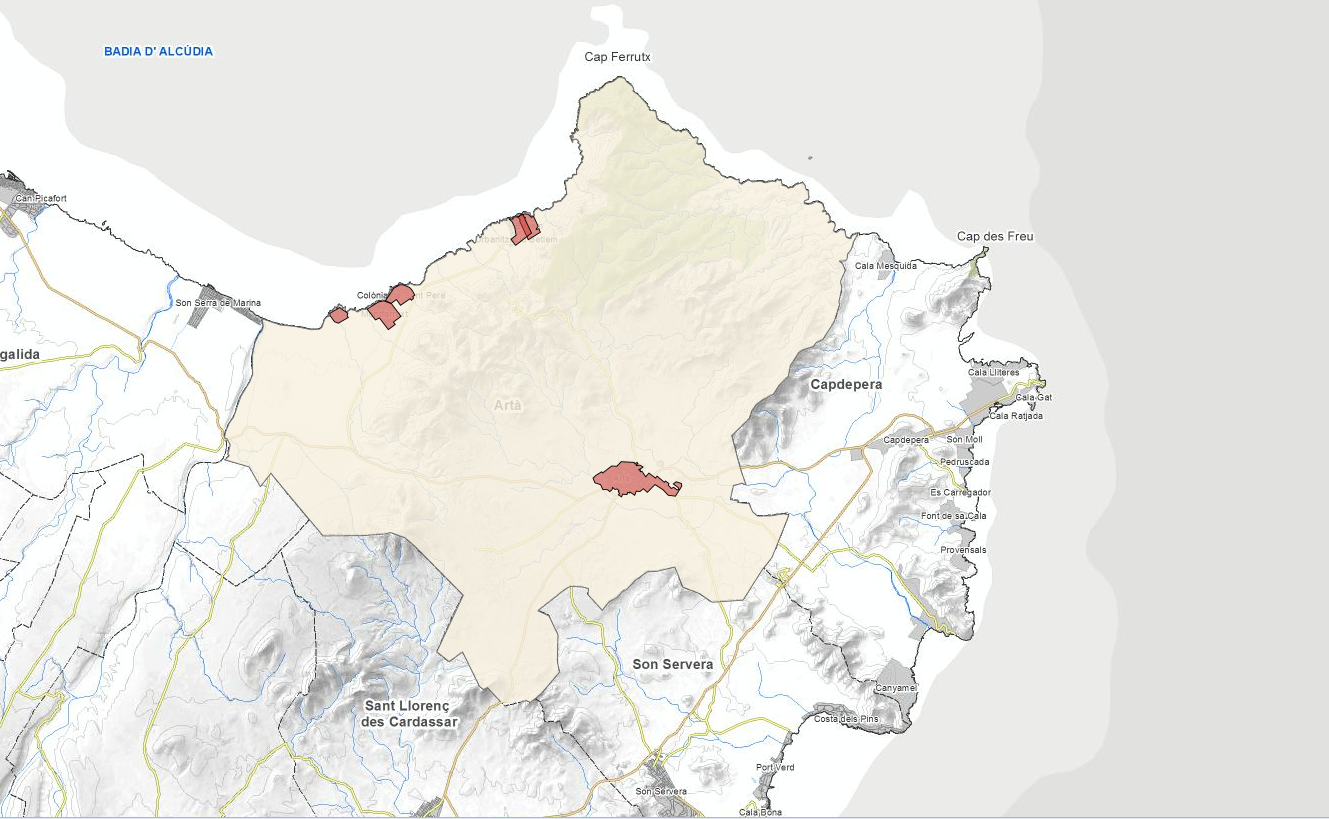
Web Map Service that allows access to the Cartography of Land Use. The service consists of three layers: Spatial plan, Zoning elements and Supplemental regulation. The data model and the symbology follow the specifications of the European INSPIRE Directive. Access to this service is free provided that the City of Artà appears as the owner of the data and Consell de Mallorca as the owner of the service.
-
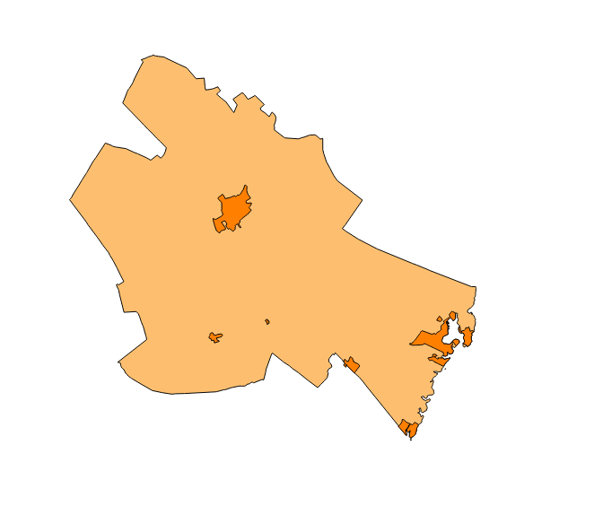
Web Map Service that allows you to access maps of the elements of sites protected by municipal regulations. The service contains the general layer called Protected. Sites where there are all protected elements. The symbolism associated with layers is defined by the INSPIRE specifications. Access to this service is free provided that the Council of Felanitx appears as the owner of the data and Consell de Mallorca as the owner of the service. The protected areas of the urban zones are at 1: 1,000 scale and the elements of rustic areas are at 1: 5,000 scale.
-
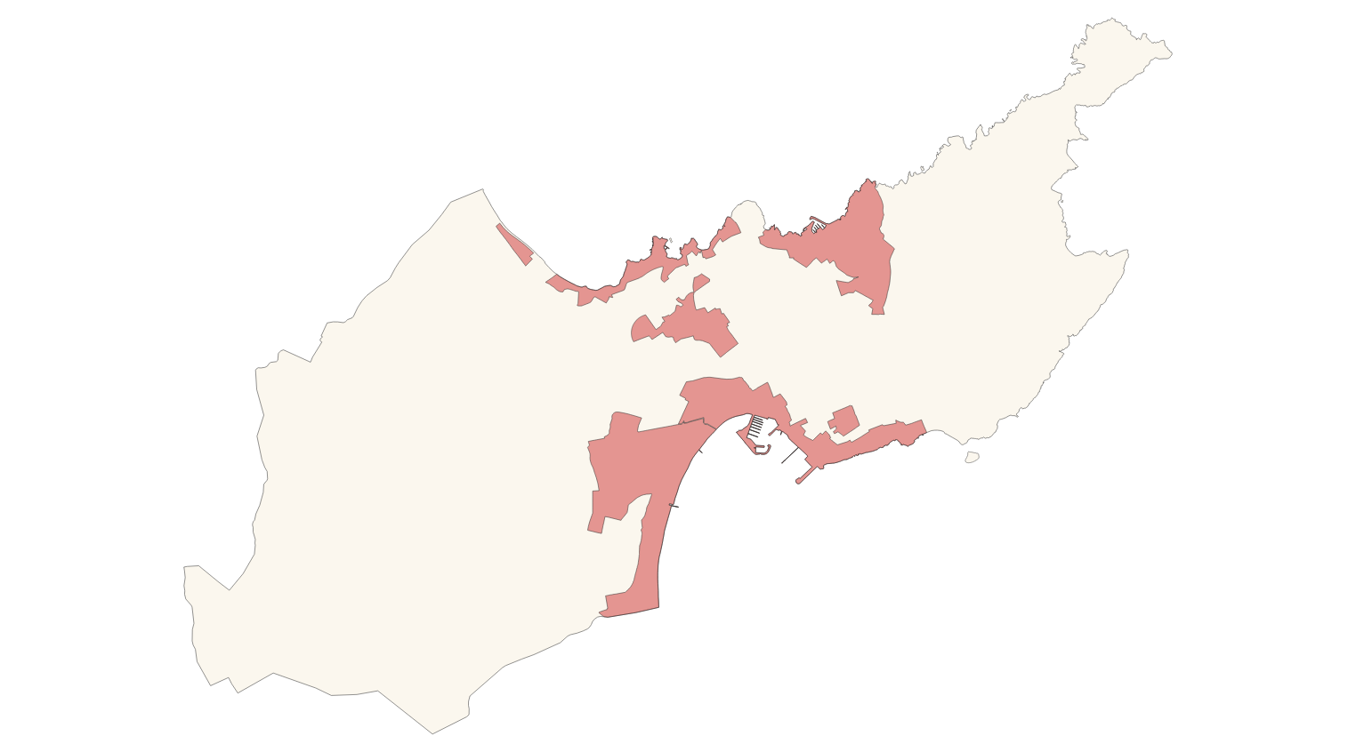
Web Map Service that allows access to the Cartography of Land Use. The service consists of three layers: Spatial plan, Zoning elements and Supplemental regulation. The data model and the symbology follow the specifications of the European INSPIRE Directive. Access to this service is free provided that the City of Alcúdia appears as the owner of the data and Consell de Mallorca as the owner of the service.
-
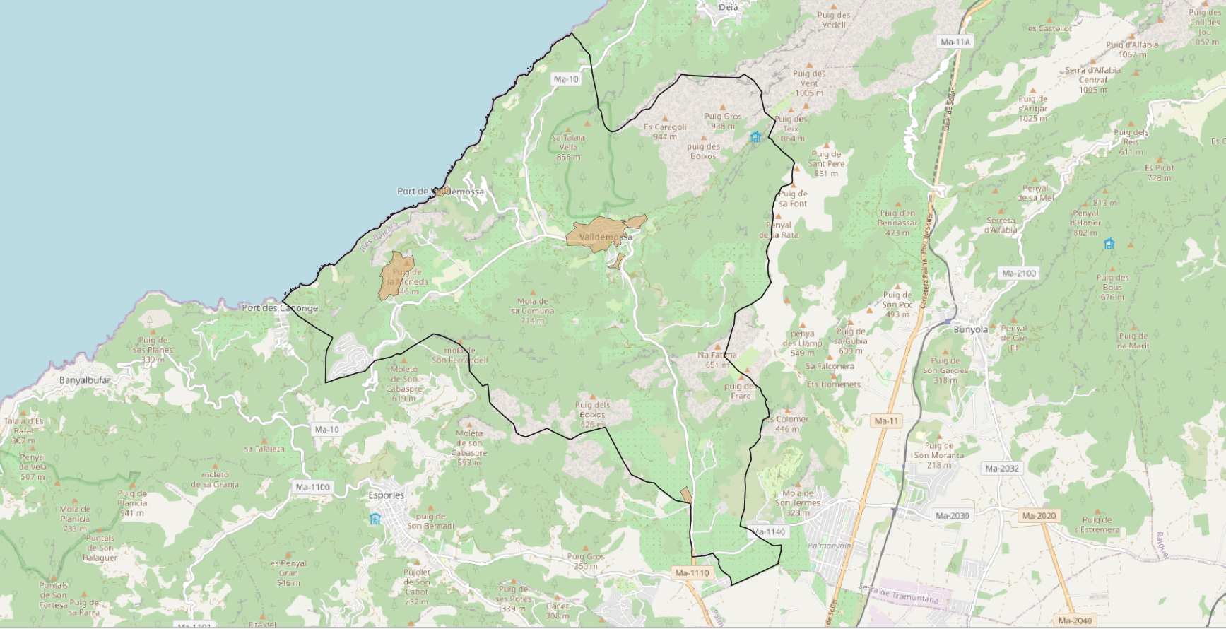
Web Map Service that allows access to the cartography of the names of INSPIRE themes of municipal competence. You can also check the characteristics of the texts. The associated style of layers is defined by the INSPIRE specifications. Access to this service is free provided that Valldemossa Town Hall appears as the owner of the data and Consell de Mallorca as the owner of the service.