 Catàleg local de Mallorca
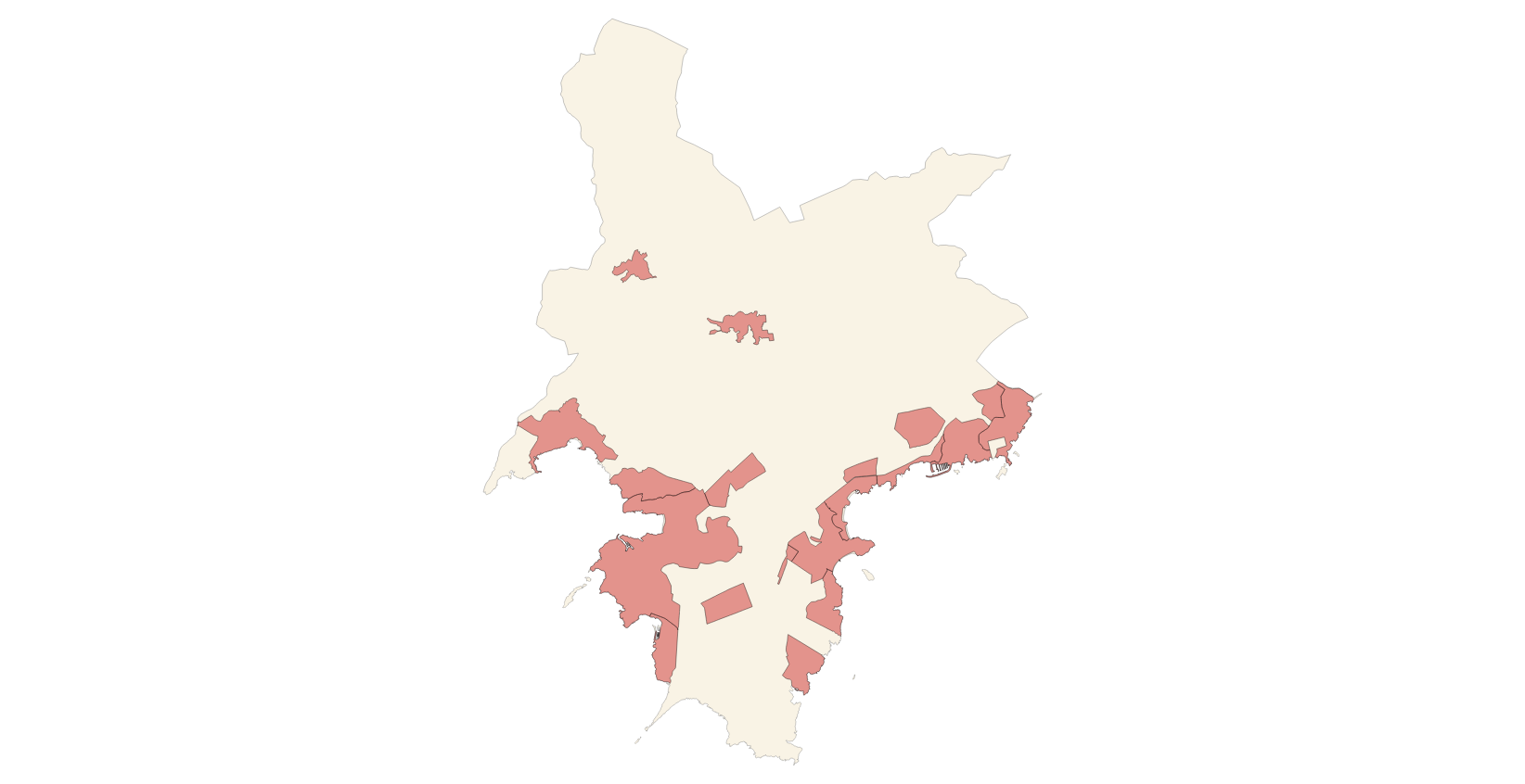
Protected sites
Type of resources
Available actions
Municipios
INSPIRE themes
Keywords
Contact for the resource
Provided by
Years
Formats
Representation types
Service types
Scale
-

Data set containing elements and areas protected by municipal legislation. The protection is provided by Subsidiari rules of Sa Pobla of 2006. The Protected layer. Sites recognize all protected elements (deposits, urban elements, rustic elements, natural areas, etc.). Urban elements are digitized at 1: 1,000 scale and rustic elements, at 1: 5,000 scale. The reference system: ETRS89. Projection system: UTM fus 31. Storage format: PostgreSQL.
-
Data set containing elements and areas protected by municipal legislation. The protection is provided by the Heritage Catalogue in 2012. The Protected layer. Sites recognize all protected elements (deposits, urban elements, rustic elements, natural areas, etc.). Urban elements are digitized at 1: 1,000 scale and rustic elements, at 1: 5,000 scale. The reference system: ETRS89. Projection system: UTM fus 31. Storage format: PostgreSQL.
-
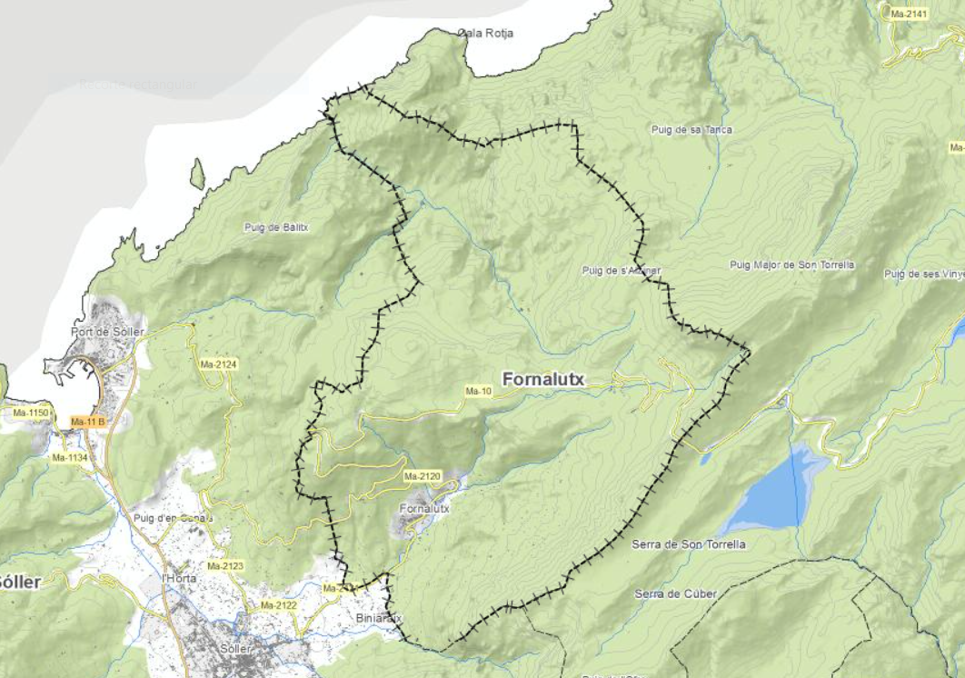
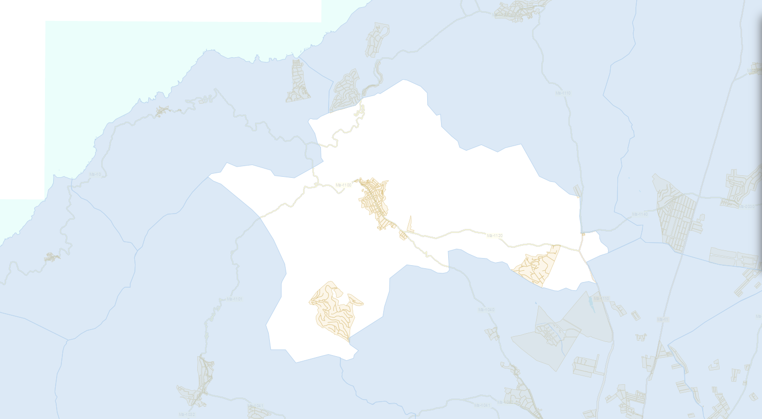
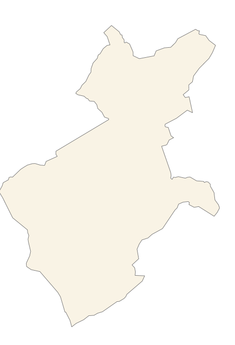
Data set containing elements and areas protected by municipal legislation. The protection is provided by the Subsidiary Regulations of the municipality of Fornalutx in 2006. The Protected layer. Sites recognize all protected elements (deposits, mills, possessions, natural areas, etc.). Urban elements are digitized at 1: 1,000 scale and rustic elements, at 1: 5,000 scale. The reference system: ETRS89. Projection system: UTM fus 31. Storage format: PostgreSQL.
-
Data set containing elements and areas protected by municipal legislation. The protection is provided by the Heritage Catalogue in 2016. The Protected layer. Sites recognize all protected elements (deposits, urban elements, rustic elements, natural areas, etc.). Urban elements are digitized at 1: 1,000 scale and rustic elements, at 1: 5,000 scale. The reference system: ETRS89. Projection system: UTM fus 31. Storage format: PostgreSQL.
-
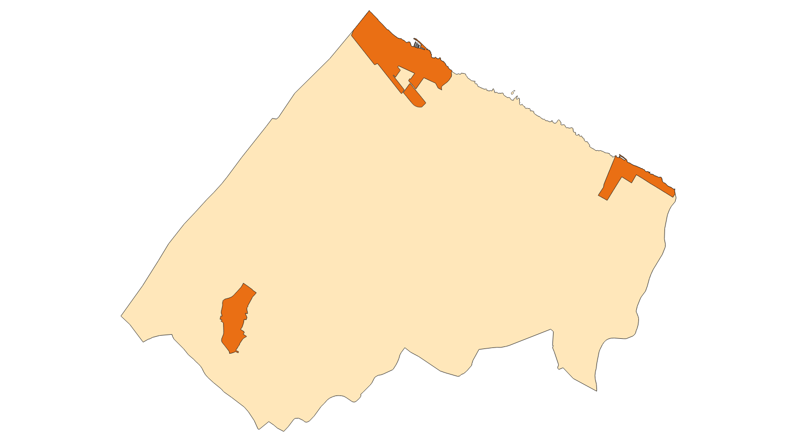
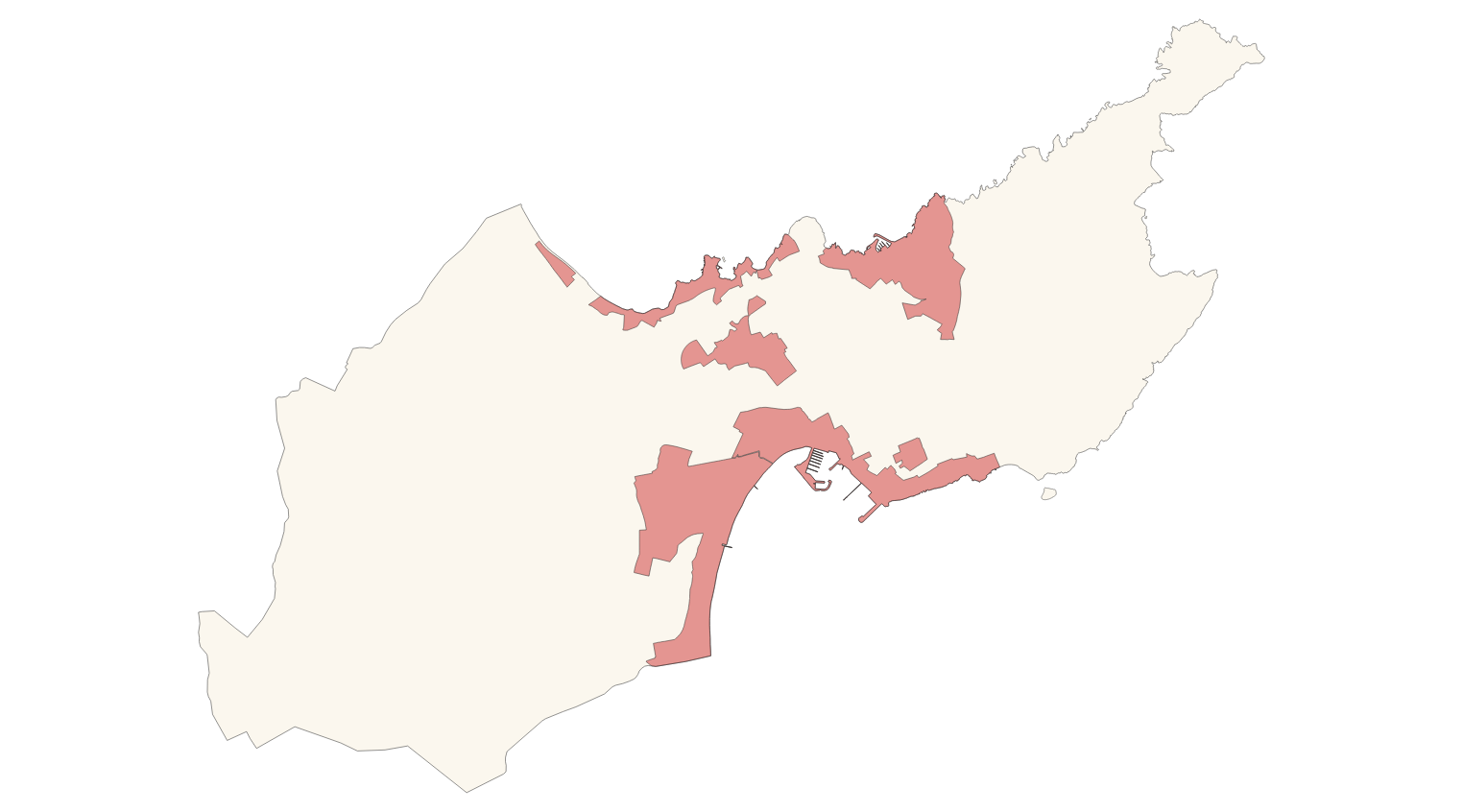
Data set containing elements and areas protected by municipal legislation. The protection is provided by the Subsidiary Regulations of the municipality of Andratx in 2007. The Protected layer. Sites recognize all protected elements . We also find several layers according to the type of Designation, Scheme of Designation and Protection Classification. Urban elements are digitized at 1: 1,000 scale. The reference system: ETRS89. Projection system: UTM fus 31. Storage format: PostgreSQL.
-
Data set containing elements and areas protected by municipal legislation. The protection is provided by the Subsidiary Regulations of the municipality of Alaró in 2003. The Protected layer. Sites recognize all protected elements (deposits, mills, possessions, natural areas, etc.). We also find several layers according to the type of Designation, Scheme of Designation and Protection Classification. Urban elements are digitized at 1: 1,000 scale and rustic elements, at 1: 5,000 scale. The reference system: ETRS89. Projection system: UTM fus 31. Storage format: PostgreSQL.
-
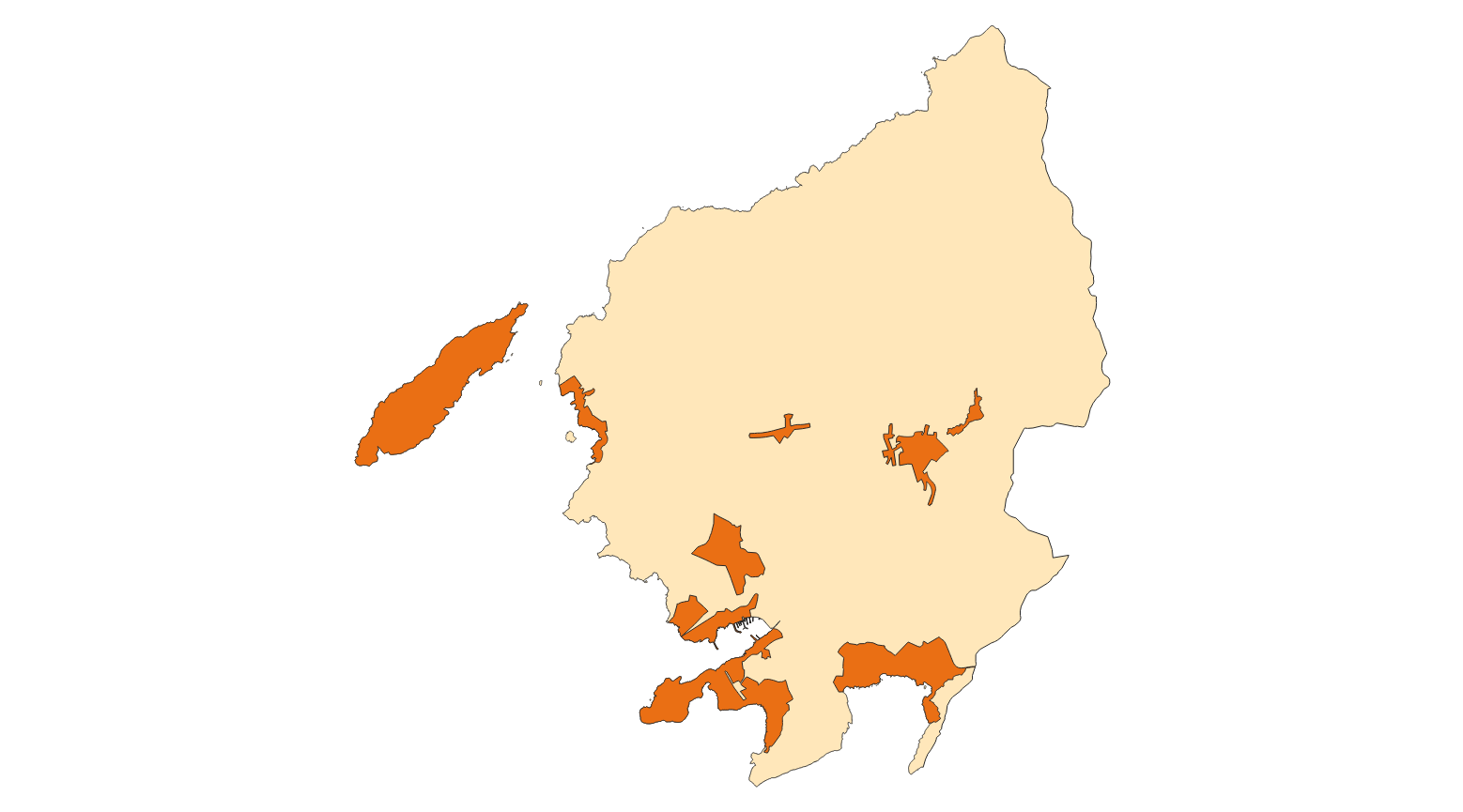
Data set containing elements and areas protected by municipal legislation. The protection is provided by the Subsidiary Regulations of the municipality of Alcúdia in 2002. The Protected layer. Sites recognize all protected elements (deposits, mills, possessions, natural areas, etc.). We also find several layers according to the type of Designation, Scheme of Designation and Protection Classification. Urban elements are digitized at 1: 1,000 scale and rustic elements, at 1: 5,000 scale. The reference system: ETRS89. Projection system: UTM fus 31. Storage format: PostgreSQL.
-
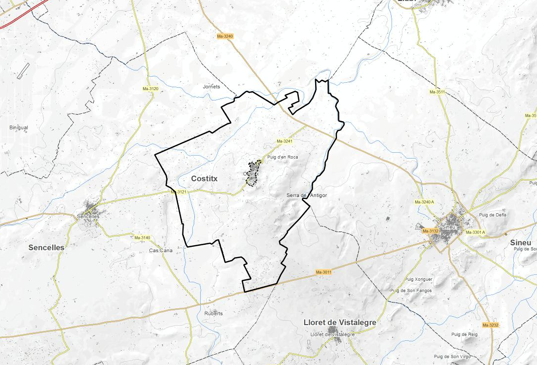
Data set containing elements and areas protected by municipal legislation. The protection is provided by the Subsidiary Regulations of the municipality of Costitx in 2017. The Protected layer. Sites recognize all protected elements (deposits, mills, possessions, natural areas, etc.). We also find several layers according to the type of Designation, Scheme of Designation and Protection Classification. Urban elements are digitized at 1: 1,000 scale and rustic elements, at 1: 5,000 scale. The reference system: ETRS89. Projection system: UTM fus 31. Storage format: PostgreSQL.
-
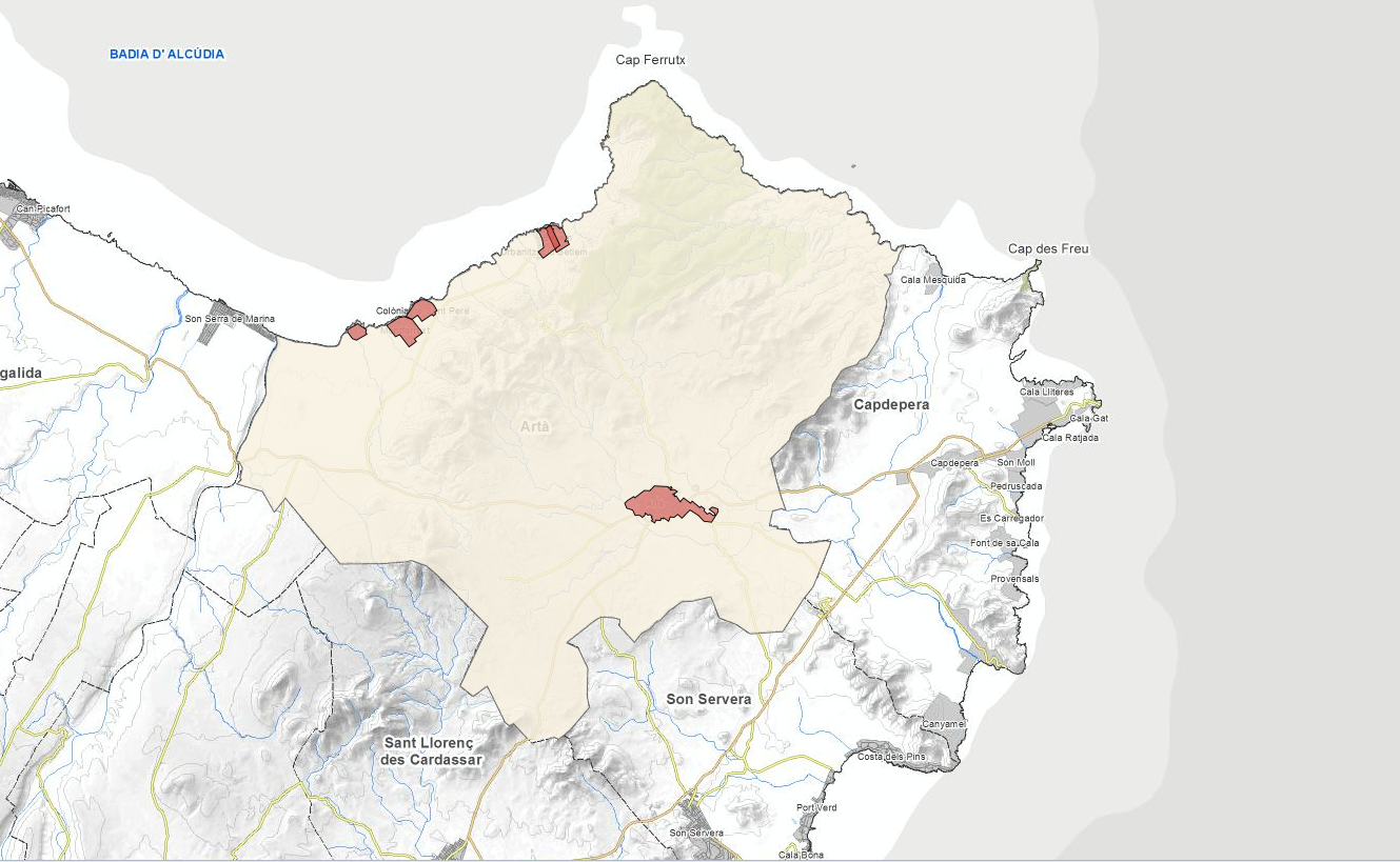
Data set containing elements and areas protected by municipal legislation. The protection is provided by the current urban planning of Artà in 2015. The Protected.Sites layer recognize all protected elements (protected natural areas, sites and the Natural Park). We also find several layers according to the type of Designation, Scheme of Designation and Protection Classification. Urban elements are digitized at 1: 1,000 scale and rustic elements, at 1: 5,000 scale. The reference system: ETRS89. Projection system: UTM fus 31. Storage format: Postgis.
-
Data set containing elements and areas protected by municipal legislation. The protection is provided by the Catalog of Cultural Assets to be protected in Calvià 2009. The Protected layer. Sites recognize all protected elements (deposits, urban elements, rustic elements, natural areas, etc.). Urban elements are digitized at 1: 1,000 scale and rustic elements, at 1: 5,000 scale. The reference system: ETRS89. Projection system: UTM fus 31. Storage format: PostgreSQL.