 Catàleg local de Mallorca
Utility and governmental services
Type of resources
Available actions
Municipios
INSPIRE themes
Keywords
Contact for the resource
Provided by
Years
Formats
Representation types
Service types
Scale
-
Data set that contains water network and its elements and sewer network and its elements of Marratxí municipaly. Scale 1: 5,000. The reference system: ETRS89. Projection system: UTM spindle 31. Storage format: Postgis.
-
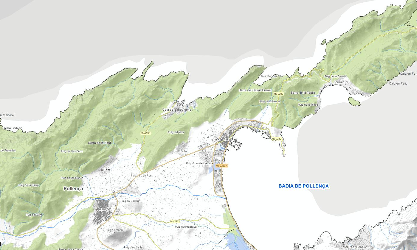
Environmental data set of the town of Pollença. Collection of various layers of information generated by the Department of the Environment of the City Council of Pollença: - Distribution of public employment spaces - Stands and measurements of public employment spaces - Areas where exhibitors are placed on market days - Road Trees - Green areas of municipal ownership - Recharging points for electric vehicles - Urban waste containers - Door-to-door collection zones - The areas of public employment and the quotas and measurements of the spaces of employment of public roads authorized for the 2018 season, based on the current Municipal Ordinance of Pollença Town Council Regulating the use of the Via Public BOIB Nr. 53, 02-05-2002. - Feline colonies Scale of the map 1: 1,000. Original format: SHP. Original reference system: ETRS89, axle 31.
-
Data set comprising the Local Infrastructure and Equipment Survey (EIEL) of Mallorca. The data is the latest version of the infrastructure. EIEL is a collection of local infrastructures and facilities of municipalities of less than 50,000 inhabitants. In the case of Mallorca, it includes all municipalities except Palma. EIEL is entrusted by the Ministry of Public Administration. Owner of the data: Consell de Mallorca. Scale: 1: 5,000 for infrastructure in rural land, 1: 1,000 for infrastructure in urban areas. Reference system: ETRS89, axle 31.
-
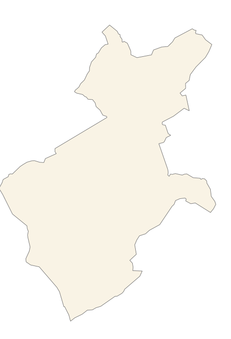
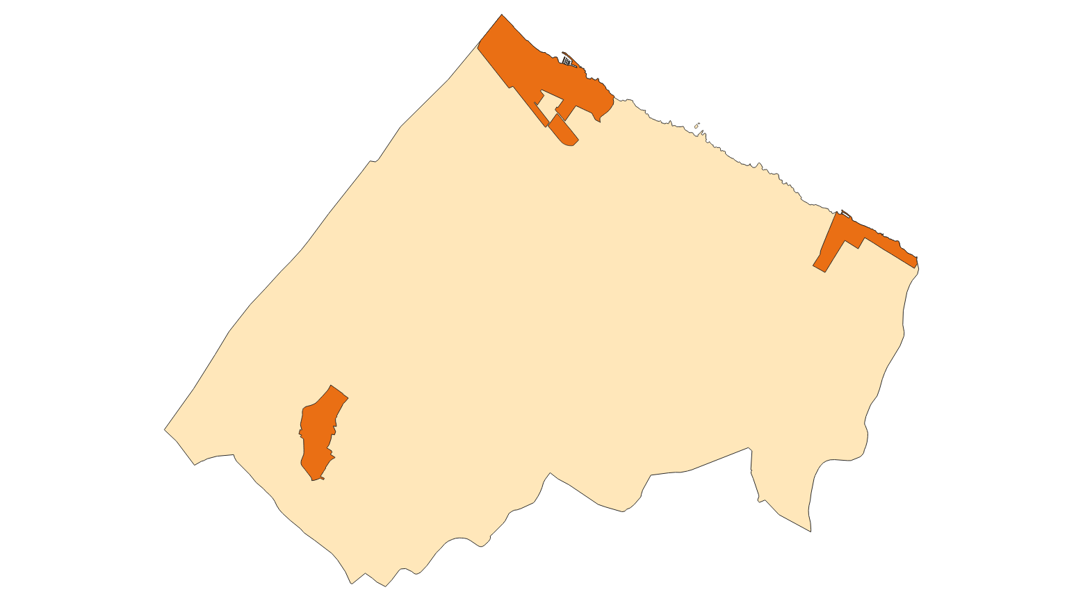
Cartography of the Utility And Governmental Services of the municipality of Alaró. Reference system: ETRS89. Projection system: UTM fus 31. Storage format: PostgreSQL
-
Data set that contains the existing light points and those that have to be installed in the centers of Santa Margalida and Son Serra de Marina in the municipality of Santa Margalida. Scale 1: 1,000. The reference system: ETRS89. Projection system: UTM spindle 31. Storage format: Postgis.
-
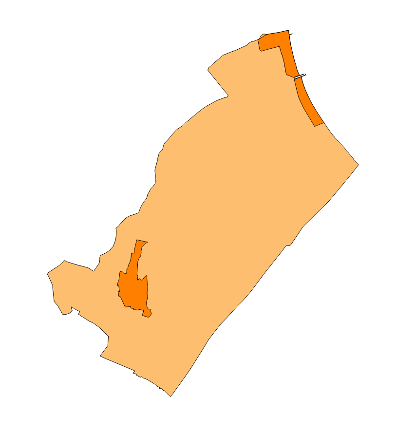
Cartography of the Utility And Governmental Services of the municipality of Marratxí. Reference system: ETRS89. Projection system: UTM fus 31. Storage format: PostgreSQL
-
Dataset of the polideportivo project of the municipality of Bunyola of the year 2004. It contains the cartography of each zone of the polideportivo and the corresponding label. Project promoter: Bunyola Town Hall. Scale 1: 5,000. The coordinate system: ETRS89, axle 31 (EPSG: 25831).
-
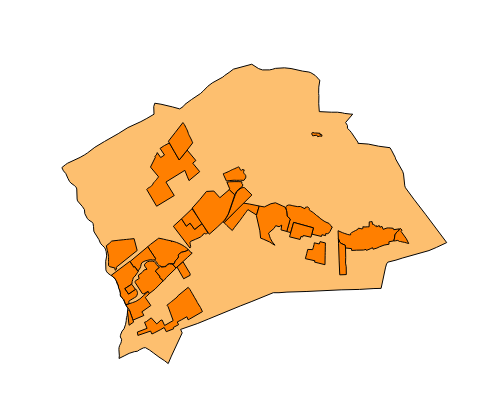
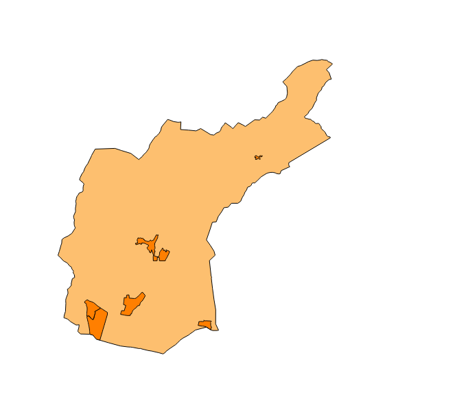
Cartography of the Utility And Governmental Services of the municipality of Muro. Reference system: ETRS89. Projection system: UTM fus 31. Storage format: PostgreSQL
-
Data set of the municipality of Pollença. Collection of various layers of information generated by the Local Police of the Pollença Town Council: - Defibrillators - Vertical and horizontal traffic signals Scale of the map 1: 1,000. Original format: SHP. Original reference system: ETRS89, axle 31.
-
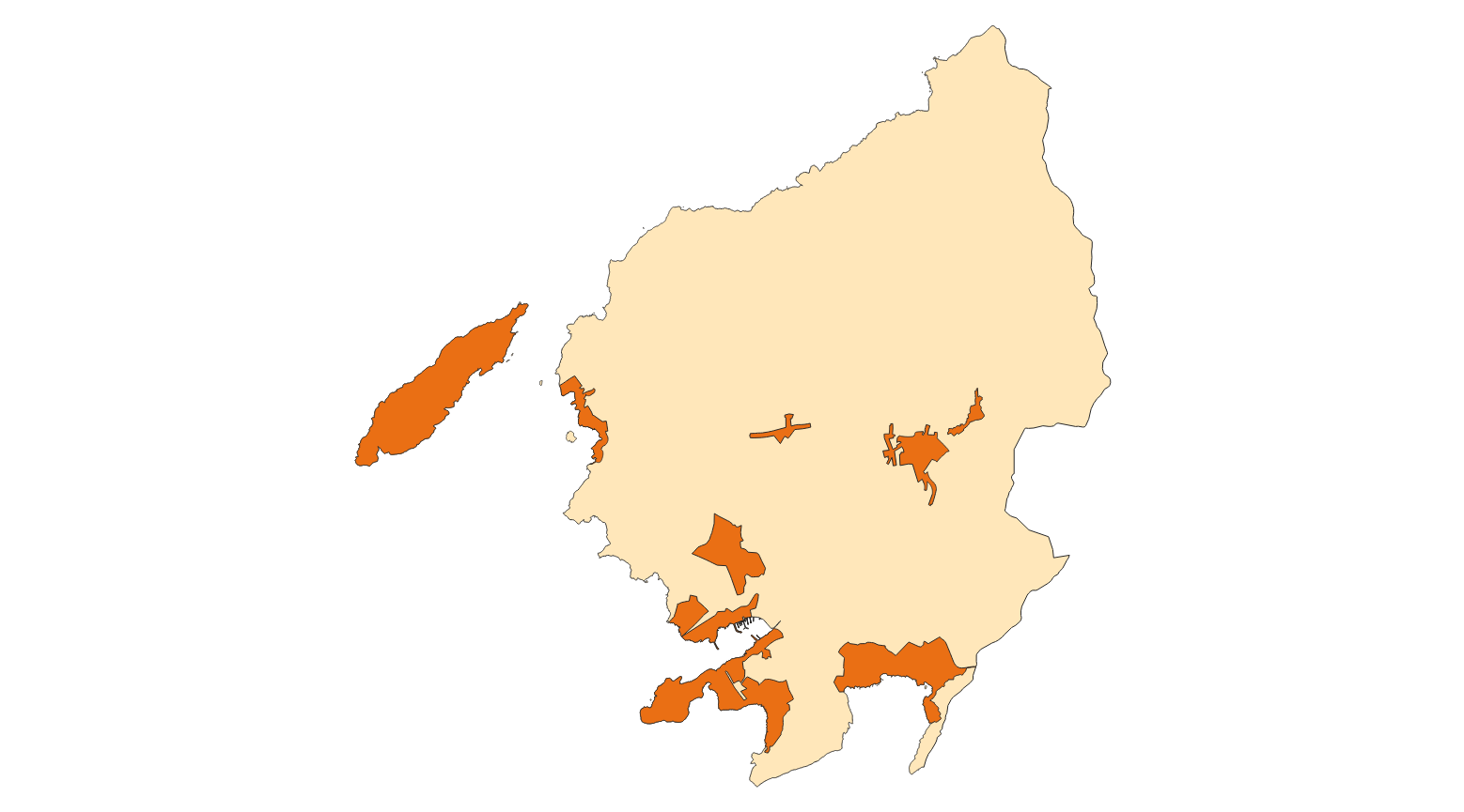
Cartography of the Utility And Governmental Services of the municipality of Andratx. Reference system: ETRS89. Projection system: UTM fus 31. Storage format: PostgreSQL