 Catàleg local de Mallorca
Land use
Type of resources
Available actions
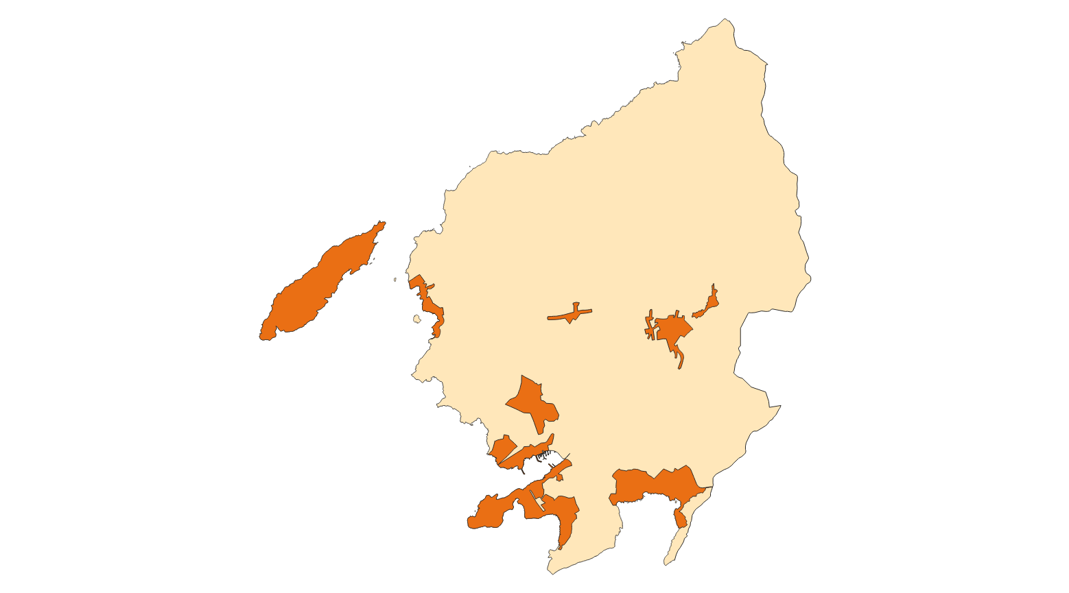
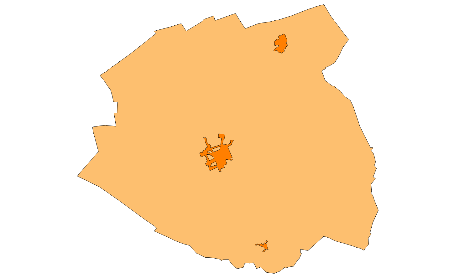
Municipios
INSPIRE themes
Keywords
Contact for the resource
Provided by
Years
Formats
Representation types
Service types
Scale
-
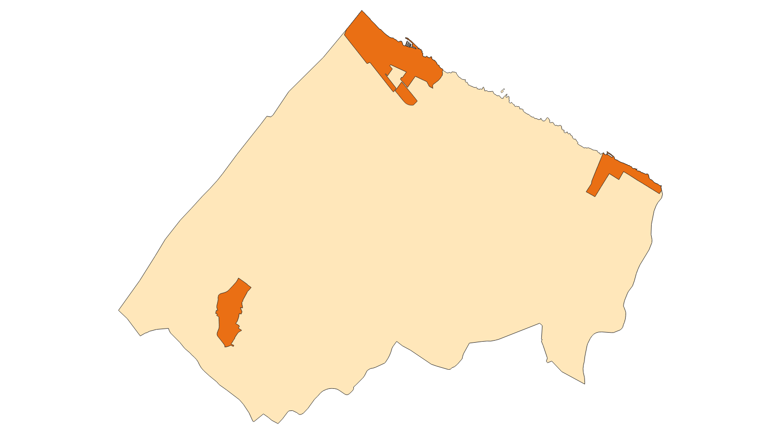
Data set that contains the inventory of public roads of Puigpunyent of the year 2004. Scale 1: 25,000. The reference system: ETRS89. Projection system: UTM spindle 31. Storage format: DGN i SHP.
-
Data set of the subject Using the soil of INSPIRE, generated from the cartography of the Revised Text of Calvià 2012. It consists of three layers: Spatial plan, Zoning elements and Supplementary regulation. The data model and the symbology of the data set follow the specifications of the theme of Annex III of the European Directive INSPIRE, Land use, specifically of the scheme Planned land use. Urban elements are digitized at 1: 2,000 scale and rustic elements, at 1: 5,000 scale. The reference system: ETRS89. Projection system: UTM fus 31. Storage format: PostgreSQL.
-
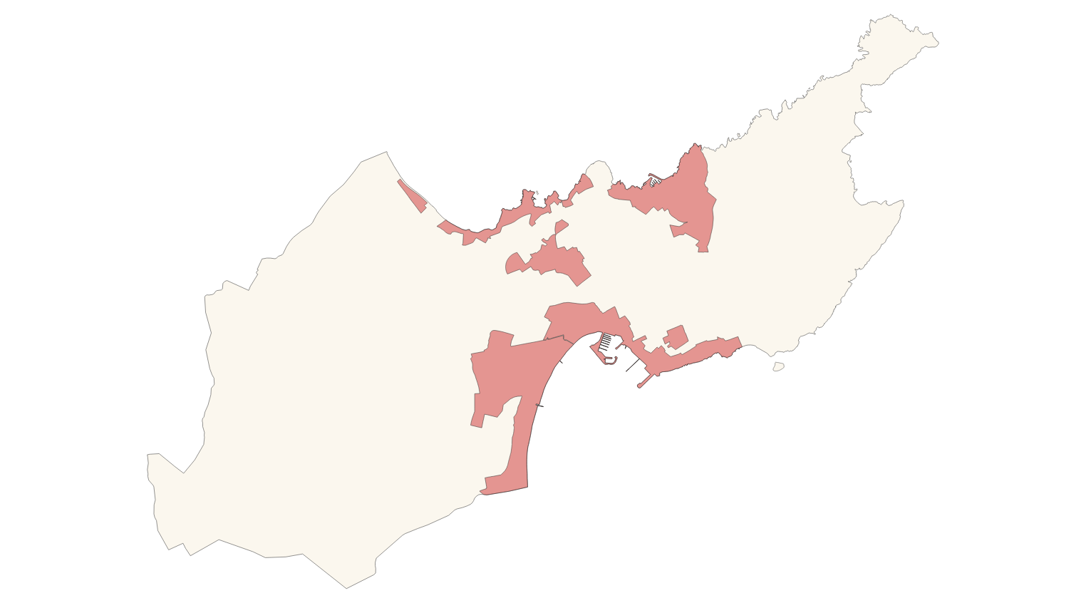
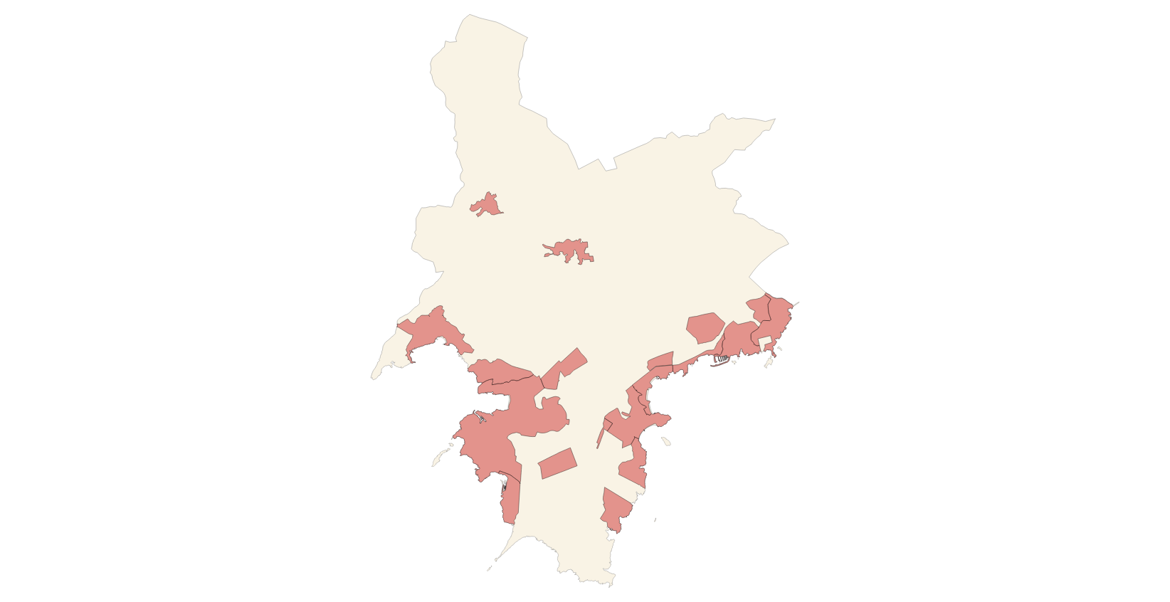
Data set that contains the heritage catalog of the town of Alcúdia, approved with prescriptions, with the regulations of Alcúdia: historic center, civil architecture, monumental sculpture, religious architecture, military architecture, industrial architecture, natural spaces, ethnological elements and archaeological sites. Scale 1: 1,000. The reference system: ETRS89. Projection system: UTM spindle 31. Storage format: DGN i SHP.
-

Data set containing the Calvià Adaptation Plan from 1976. Scale 1: 2,000 in urban. The reference system: ETRS89. Projection system: UTM spindle 31. Storage format: ECW.
-
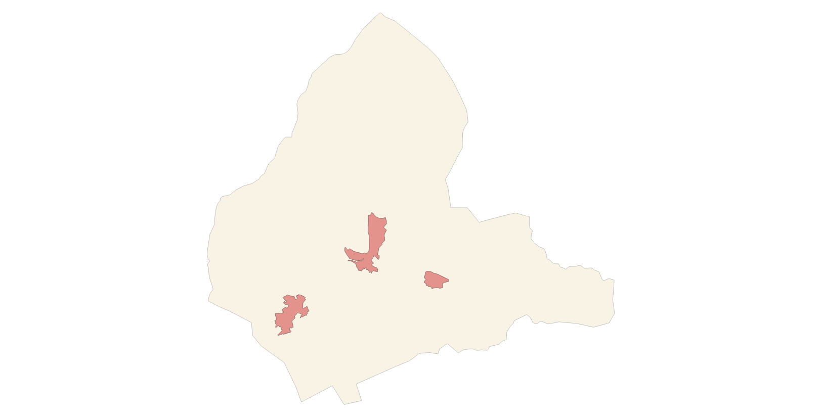
Data set that contains the cataloged elements in rustic and urban land of the town of Santa Margalida. Scale 1: 1,000 in urban, and 1:5,000 in rustic land. The reference system: ETRS89. Projection system: UTM spindle 31. Storage format: DGN i SHP.
-

Data set that contains the types of qualifications of the urban and rustic land of the town of Sa Pobla. Scale 1: 1,000. The reference system: ETRS89. Projection system: UTM spindle 31. Storage format: SHP.
-
Data set of the subject Using the soil of INSPIRE, generated from the cartography of the Subsidiary Standards of Andratx, approved in 2007. It consists of three layers: Spatial plan, Zoning elements and Supplementary regulation. The data model and the symbology of the data set follow the specifications of the theme of Annex III of the European Directive INSPIRE, Land use, specifically of the scheme Planned land use. Urban elements are digitized at 1: 2,000 scale and rustic elements, at 1: 5,000 scale. The reference system: ETRS89. Projection system: UTM fus 31. Storage format: PostgreSQL.
-
Data set of the subject Using the soil of INSPIRE, generated from the cartography of the Subsidiary Standards of Algaida, approved in 2005. It consists of three layers: Spatial plan, Zoning elements and Supplementary regulation. The data model and the symbology of the data set follow the specifications of the theme of Annex III of the European Directive INSPIRE, Land use, specifically of the scheme Planned land use. Urban elements are digitized at 1: 2,000 scale and rustic elements, at 1: 5,000 scale. The reference system: ETRS89. Projection system: UTM fus 31. Storage format: PostgreSQL.
-
Data set of the subject Using the soil of INSPIRE, generated from the cartography of the Revision of the Subsidiary Regulations of Sa Pobla of 2003 and subsequent modifications. It consists of three layers: Spatial plan, Zoning elements and Supplementary regulation. The data model and the symbology of the data set follow the specifications of the theme of Annex III of the European Directive INSPIRE, Land use, specifically of the scheme Planned land use. Urban elements are digitized at 1: 2,000 scale and rustic elements, at 1: 5,000 scale. The reference system: ETRS89. Projection system: UTM fus 31. Storage format: PostgreSQL.
-
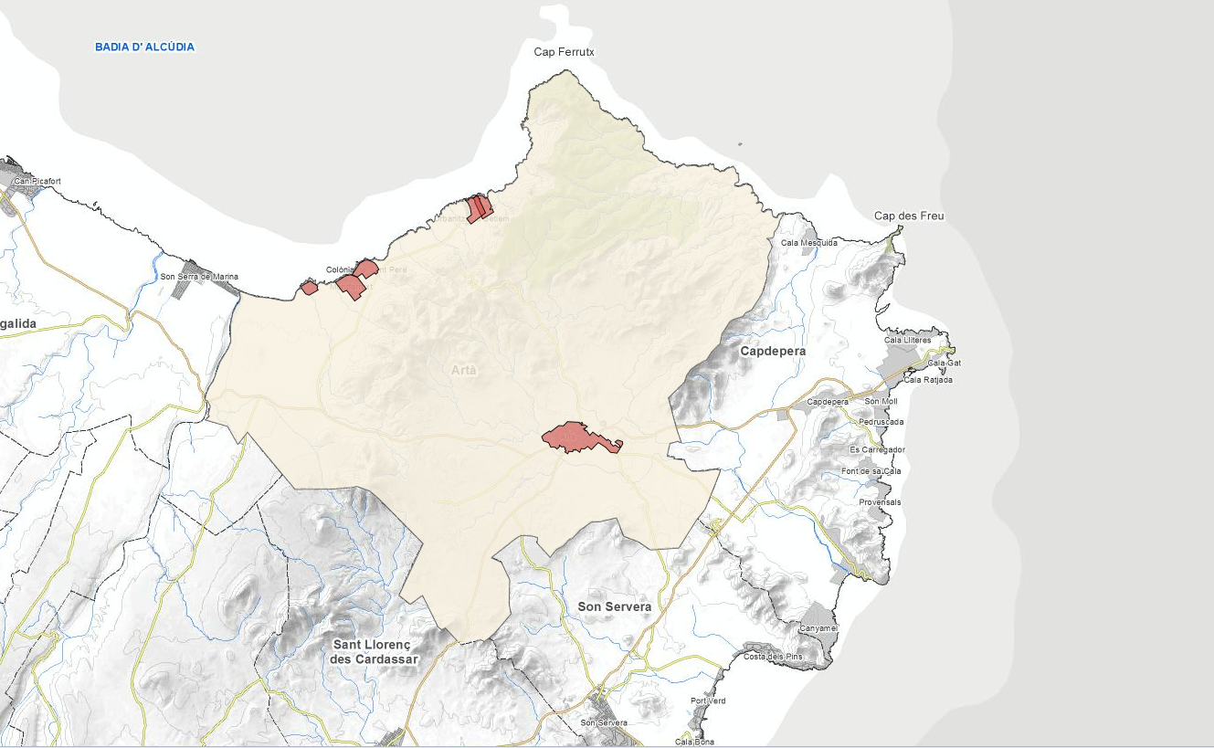
Data set that contains the cartography of the urban land regulations of the municipality of Artà: urban land classification, execution units, urbanizable land, car parks and alignments. Scale 1: 1,000. The reference system: ETRS89. Projection system: UTM spindle 31. Storage format: DGN and SHP.