 Catàleg local de Mallorca
Geographical names
Type of resources
Available actions
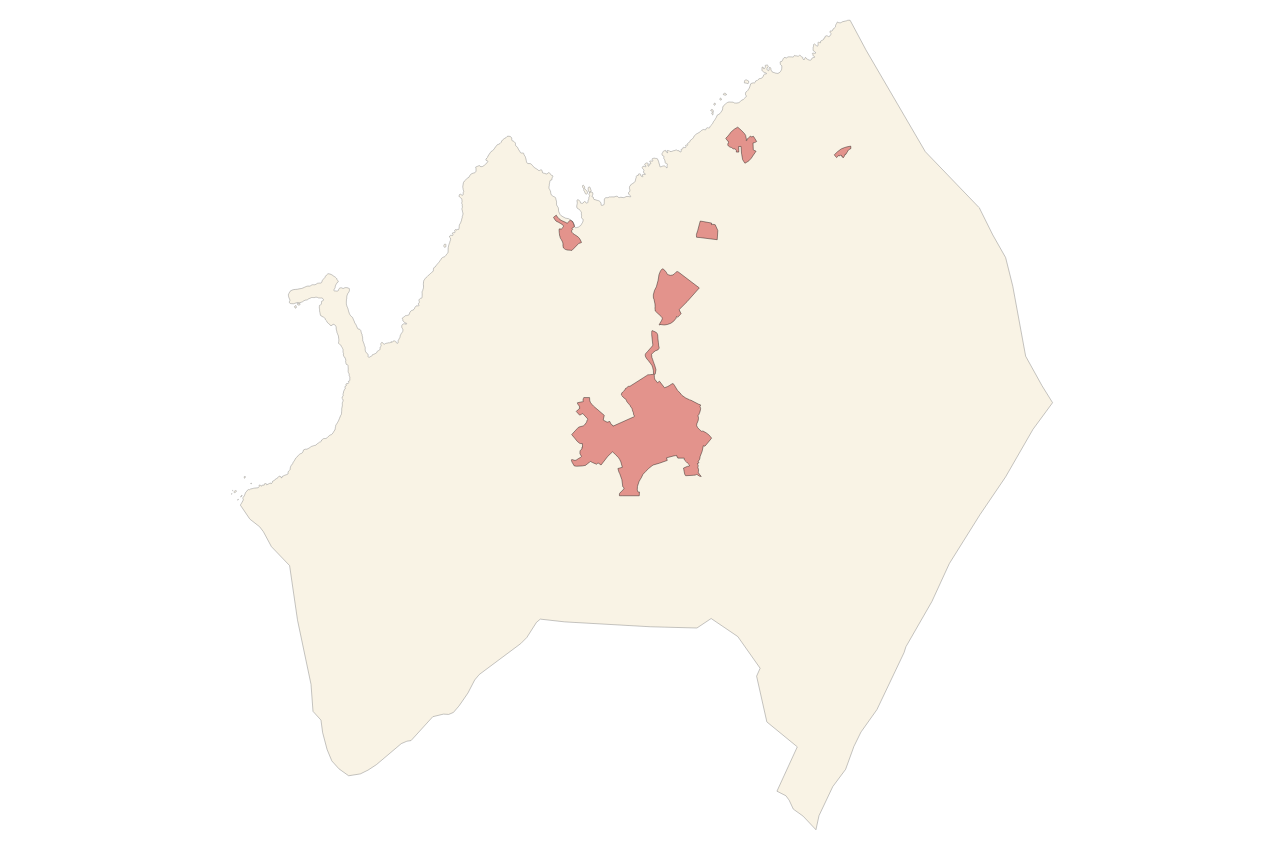
Municipios
INSPIRE themes
Keywords
Contact for the resource
Provided by
Years
Formats
Representation types
Service types
Scale
-
Cartography of the toponymy of the municipality of Ses Salines. The names refer to the topics of the INSPIRE Transport Network in Annex I of the INSPIRE Directive. Cartography generated in 2024. The sources are the Cartociudad project, version 2012, for the names of Transport. The names of the urban elements are at scale 1: 2,000 and the names of the rustic elements, at a scale of 1: 5,000. Reference system: ETRS89. Projection system: UTM fus 31. Storage format: PostgreSQL.
-
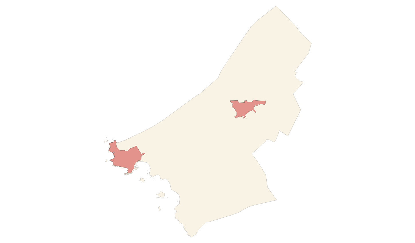
Cartography of the toponymy of the municipality of Vilafranca de Bonany. The names refer to the topics of the INSPIRE Transport Network in Annex I of the INSPIRE Directive. Cartography generated in 2024. The sources are the Cartociudad project, version 2012, for the names of Transport. The names of the urban elements are at scale 1: 2,000 and the names of the rustic elements, at a scale of 1: 5,000. Reference system: ETRS89. Projection system: UTM fus 31. Storage format: PostgreSQL.
-
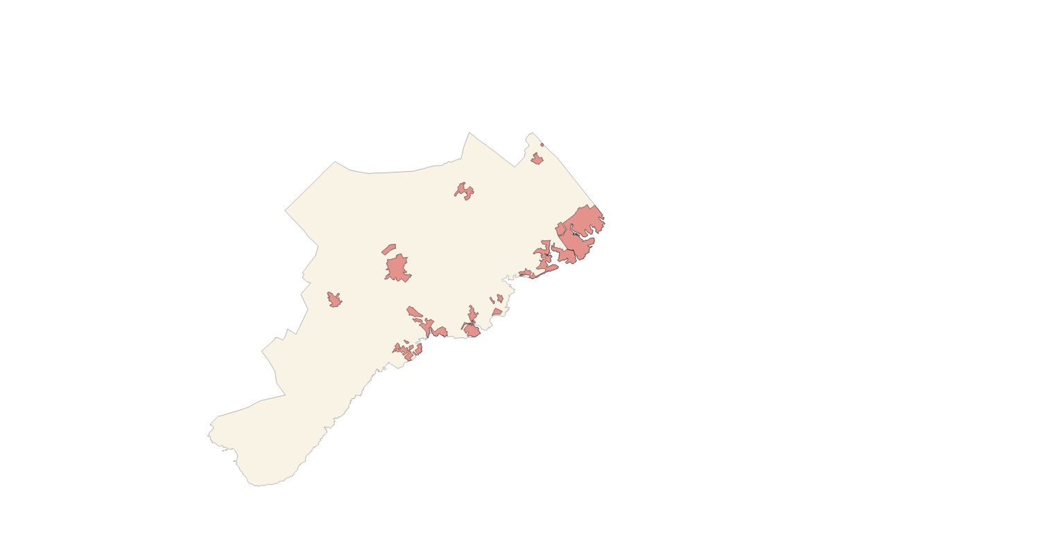
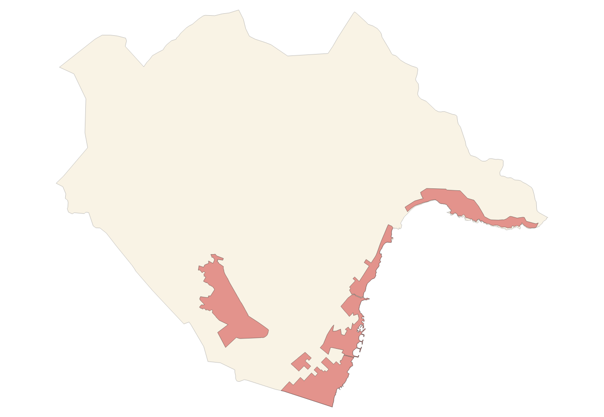
Cartography of the toponymy of the municipality of Santanyí. The names refer to the topics of the INSPIRE Transport Network and Protected Sites Directive in Annex I of the INSPIRE Directive and Land Uses in Annex III. Cartography generated in 2022. The sources are the Cartociudad project, version 2012, for the names of Transport, and the Consolidated Text of 2021 of Subsidiary Norms of 2007. The names of the urban elements are at scale 1: 2,000 and the names of the rustic elements, at a scale of 1: 5,000. Reference system: ETRS89. Projection system: UTM fus 31. Storage format: PostgreSQL.
-
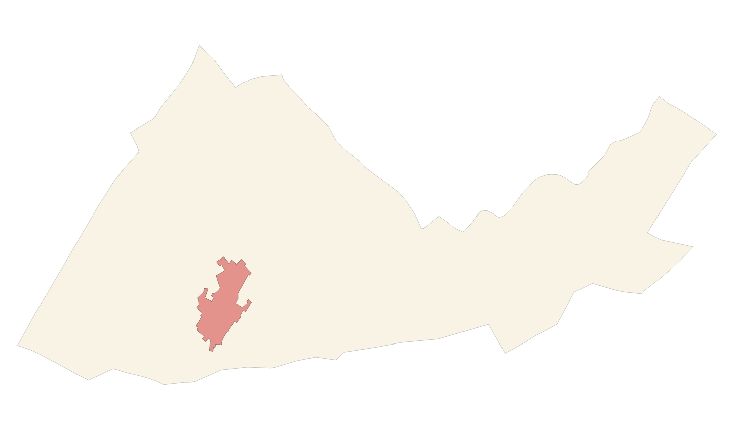
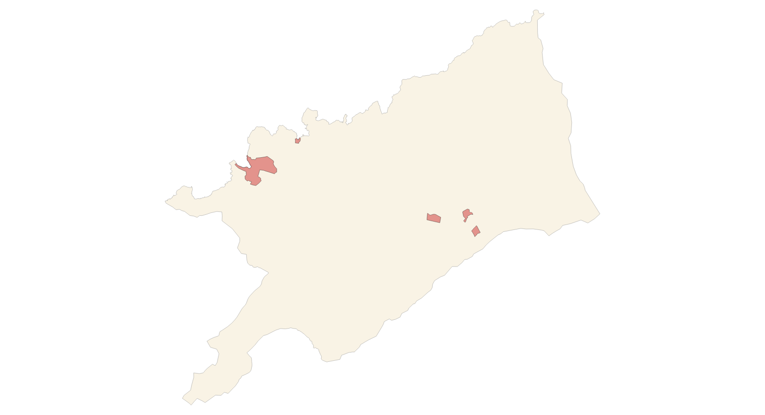
Cartography of the toponymy of the municipality of Maria de la Salut. The names refer to the topics of the INSPIRE Transport Network in Annex I of the INSPIRE Directive. Cartography generated in 2024. The sources are the Cartociudad project, version 2012, for the names of Transport. The names of the urban elements are at scale 1: 2,000 and the names of the rustic elements, at a scale of 1: 5,000. Reference system: ETRS89. Projection system: UTM fus 31. Storage format: PostgreSQL.
-

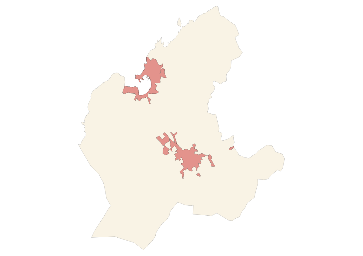
Cartography of the toponymy of the municipality of Sa Pobla. The names refer to the topics of the INSPIRE Transport, Land Use and Protected Sites Directive in Annex I of the INSPIRE Directive and Land Uses in Annex III. Cartography generated in 2021. The sources are the Cartociudad project, version 2012, for the names of Transport, and the Urban Rules of 2002 and the Country Rules of 2003 for the names of Land Use and Protected Sites. The names of the urban elements are at scale 1: 2,000 and the names of the rustic elements, at a scale of 1: 5,000. Reference system: ETRS89. Projection system: UTM fus 31. Storage format: PostgreSQL.
-
Cartography of the toponymy of the municipality of Son Servera. The names refer to the topics of the INSPIRE Transport Network in Annex I of the INSPIRE Directive. Cartography generated in 2024. The sources are the Cartociudad project, version 2012, for the names of Transport. The names of the urban elements are at scale 1: 2,000 and the names of the rustic elements, at a scale of 1: 5,000. Reference system: ETRS89. Projection system: UTM fus 31. Storage format: PostgreSQL.
-
Cartography of the toponymy of the municipality of Escorca. The names refer to the topics of the INSPIRE Transport Network in Annex I of the INSPIRE Directive. Cartography generated in 2024. The sources are the Cartociudad project, version 2012, for the names of Transport. The names of the urban elements are at scale 1: 2,000 and the names of the rustic elements, at a scale of 1: 5,000. Reference system: ETRS89. Projection system: UTM fus 31. Storage format: PostgreSQL.
-
Cartography of the toponymy of the municipality of Sóller. The names refer to the topics of the INSPIRE Transport Network in Annex I of the INSPIRE Directive. Cartography generated in 2024. The sources are the Cartociudad project, version 2012, for the names of Transport. The names of the urban elements are at scale 1: 2,000 and the names of the rustic elements, at a scale of 1: 5,000. Reference system: ETRS89. Projection system: UTM fus 31. Storage format: PostgreSQL.
-
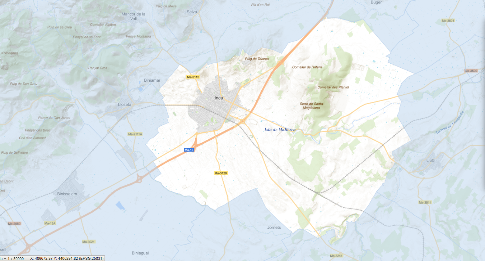
Cartography of the toponymy of the municipality of Inca. The names refer to the topics of the INSPIRE Transport Directive in Annex I of the INSPIRE Directive . Cartography generated in 2021. The sources are the Cartociudad project, version 2012, for the names of Transport, and the Urban Rules of 2002 and the Country Rules of 2003 for the names of Land Use and Protected Sites. The names of the urban elements are at scale 1: 2,000 and the names of the rustic elements, at a scale of 1: 5,000. Reference system: ETRS89. Projection system: UTM fus 31. Storage format: PostgreSQL.
-
Cartography of the toponymy of the municipality of Deià. The names refer to the topics of the INSPIRE Transport Network in Annex I of the INSPIRE Directive. Cartography generated in 2024. The sources are the Cartociudad project, version 2012, for the names of Transport. The names of the urban elements are at scale 1: 2,000 and the names of the rustic elements, at a scale of 1: 5,000. Reference system: ETRS89. Projection system: UTM fus 31. Storage format: PostgreSQL.