 Catàleg local de Mallorca
Consell de Mallorca
Type of resources
Available actions
Municipios
INSPIRE themes
Keywords
Contact for the resource
Provided by
Years
Formats
Representation types
Service types
Scale
-
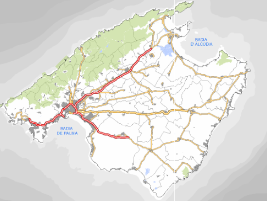
Data set comprising the Local Infrastructure and Equipment Survey (EIEL) of Mallorca. The data is the latest version of the infrastructure. EIEL is a collection of local infrastructures and facilities of municipalities of less than 50,000 inhabitants. In the case of Mallorca, it includes all municipalities except Palma. EIEL is entrusted by the Ministry of Public Administration. Owner of the data: Consell de Mallorca. Scale: 1: 5,000 for infrastructure in rural land, 1: 1,000 for infrastructure in urban areas. Reference system: ETRS89, axle 31.
-
Web Map Service that allows access to the cartography of the Local Infrastructure and Equipment Survey (EIEL). Cartography that is kept updated with the information offered by the city councils. Access to this service is free provided that the Consell de Mallorca appears as the owner of the data and Consell de Mallorca as the owner of the service.
-

Web Map Service that allows access to the Cartography of Land Use. The service consists of three layers: Spatial plan, Zoning elements and Supplemental regulation. The data model and the symbology follow the specifications of the European INSPIRE Directive. Access to this service is free provided that the City of Sa Pobla appears as the owner of the data and Consell de Mallorca as the owner of the service.
-
Web Map Service that allows the visualization of the dataset of the Historical Heritage Catalog of Binissalem definitively approved in 2008. The service contains all the layers that make up the cartography of the Historical Heritage Catalog: Protected Urban Elements, Rustic Protected Elements and Archaeological Sites. These are buildings or elements that are protected by cultural or historical causes. The mapping of urban elements is at 1: 1,000 scale, while the cartography of rustic elements is at 1: 5,000 scale. The coordinate system: ETRS89 (EPSG: 25831).
-
Cartography of the Utility And Governmental Services of the municipality of Alaró. Reference system: ETRS89. Projection system: UTM fus 31. Storage format: PostgreSQL
-
Data set containing the Calvià Adaptation Plan from 1976. Scale 1: 2,000 in urban. The reference system: ETRS89. Projection system: UTM spindle 31. Storage format: ECW.
-
Data set that contains the types of qualifications of the urban and rustic land of the town of Sa Pobla. Scale 1: 1,000. The reference system: ETRS89. Projection system: UTM spindle 31. Storage format: SHP.
-
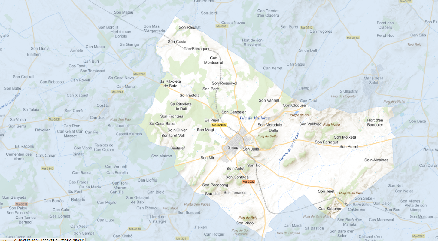
Data set containing the addresses of the urban center of Sineu and a few kilometers from the rustic area of the municipality. Cartography was extracted from the Cartociudad project of 2012, a state project that collects all spatial information related to directions and roads. The AD.Addresses layer is a layer of points and contains the addresses or portal numbers and various attributes that follow the Cartociudad data model and INSPIRE. Scale 1: 2,000. The reference system: ETRS89. Projection system: UTM fus 31. Storage format: PostgreSQL.
-
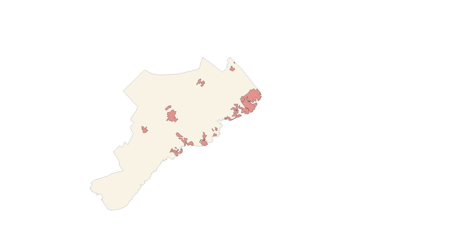
Cartography of the network of roads, roads and streets of the municipality of Santanyí. It refers to the topic Transportation Networks in Annex I of the INSPIRE Directive. Mapping generated in 2021. The sources are the streets and paths of the Cartociudad's project, wich are update with the staff's knowlege of the council. Scale 1: 2,000 the streets and scale 1: 5,000 the roads and roads. Reference system: ETRS89. Projection system: UTM fus 31. Storage format: PostgreSQL.
-
Data set that contains the religious, civil and military buildings of the municipality of Calvià. The cartography was extracted from the 2009 Catalog of Heritage Assets. The Buildings layer is a polygon layer and contains the buildings on rural land that follow the INSPIRE data model. Scale 1: 5,000. The reference system: ETRS89. Projection system: UTM zone 31. Storage format: PostgreSQL.